
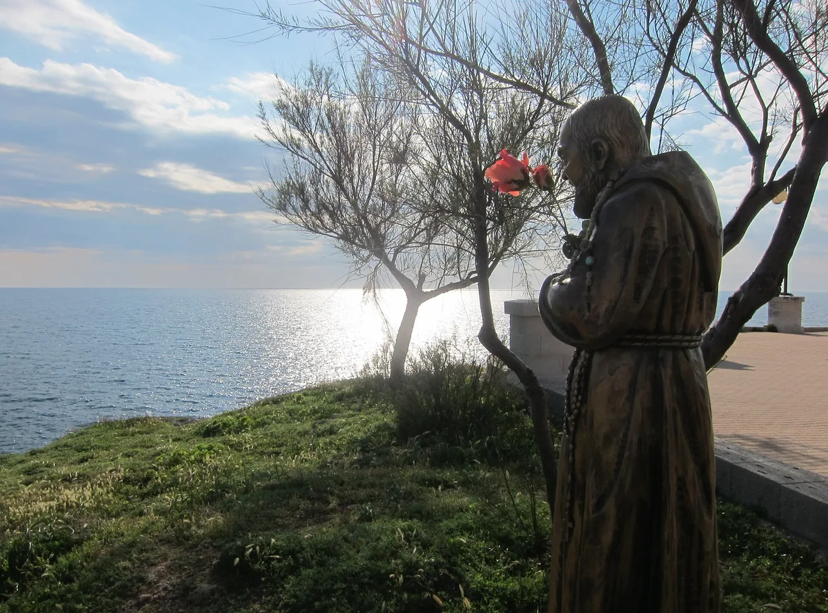
The beach at a glance
Coast of rocks and cliffs from Punta Ristola towards Torre Marchiello, with pale rock and sea caves: no sand and no beach clubs.
- Type of coast
- Mixed
- Rocks 1,115 m
- Cliff 1,391 m
- Length
- 2,506 m
- Water quality
- Excellent · classification 2024
- Off season: latest samples of the 2026 season
- Latest samples:
- Mon 13 Jul: within limits
- Mon 15 Jun: within limits
- Mon 18 May: within limits
- Mon 20 Apr: within limits
- Natura 2000 network
- ZSC Posidonieto Capo San Gregorio - Punta Ristola (IT9150034)
About the beach
From Punta Ristola, the headland that closes the bay of Leuca to the west, the coast continues towards Torre Marchiello for about two and a half kilometres of rocky shore and cliff. There are no sandy beaches or beach clubs: the rock here is smoother and paler than in the rest of the bay and you get into the water from the rocks, with water shoes on your feet.
It is a coast of caves. On the side of Punta Ristola, some twenty metres above the sea, opens the Grotta Porcinara, carved out by people and used as a sanctuary from prehistory to Roman times, near the Grotta del Diavolo. Towards Punta Marchiello, where the ruins of the 16th-century tower remain, the low, jagged coast hides other sea caves, such as the Tre Porte cave and the Drago cave.
There is a car park a few steps away. The coast faces south-west: with north (tramontana), north-east (grecale), east (levante), south-east (scirocco) and north-west (maestrale) winds it is sheltered, with south (ostro), south-west (libeccio) and west (ponente) winds the sea gets rough. It is part of the Posidonieto Capo San Gregorio - Punta Ristola Natura 2000 site.
On the map
Stretch of beach
Events nearby
In the coming days within 5 km.
No events within 5 km in the coming days.
Things to see nearby
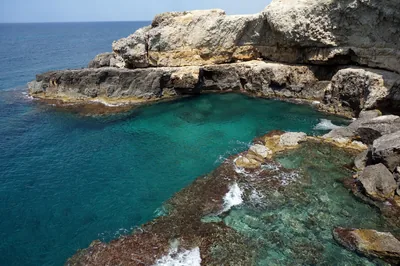 Sea and cavesGrotta PorcinaraPrehistoric cave dug out by man, used as a sanctuary for many centuries,
from prehistoric to Roman times Castrignano del Capo very close
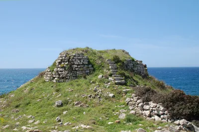 Castles, towers and palacesTorre MarchielloLocated on the coastline between Leuca and Felloniche, it is a watchtower
that was built during the Saracen raids. Castrignano del Capo very close
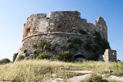 Castles, towers and palacesTorre dell'Omo Morto (Tower of the Dead Man)The Old Tower is a watchtower on the Salento coast near Santa Maria di
Leuca. Castrignano del Capo very close
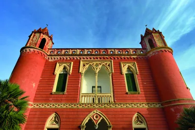 Castles, towers and palacesVillas in Santa Maria di LeucaElegant liberty-style forms and oriental motifs characterised the magical
architectures along the promenade, embellished by wonderful villas and
noble palaces. Castrignano del Capo 1 km away
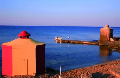 Sea and cavesSanta Maria di Leuca BeachOld “bagnarole”, sandy beaches and caves with water springs: the beach of
Santa Maria di Leuca offers magical bathes in Finibus Terrae. Castrignano del Capo 1.3 km away
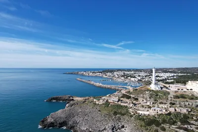 Sea and cavesSanta Maria di LeucaIn Santa Maria di Leuca there is a tourist fishing port protected by a three-armed breakwater. Castrignano del Capo 1.8 km away
Beaches nearby
- Rocks and cliffsSanta Maria di LeucaCrescent bay below the Leuca seafront: rocks, two small sandy beaches, the bagnarole and free stretches between the beach clubs.5 beach clubs Excellent water Natura 2000 Castrignano del Capo · Ionian very close
- SandMarina di FellonicheSeaside spot between Leuca and San Gregorio: low rocky shore with a sandy stretch of about 300 metres, almost all free.Free · beach clubs Excellent water Natura 2000 Castrignano del Capo · Ionian 2.5 km away
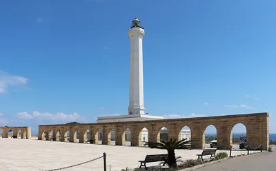 MixedPunta MelisoCoast of rocks and cliffs below the Leuca lighthouse, with no sand: you get into the water from the rock, in the coastal park.Free Excellent water Protected area Gagliano del Capo · Adriatic 2.7 km away
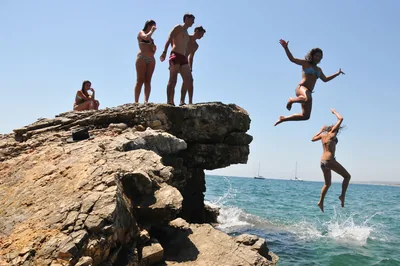 Rocks and cliffsSan GregorioInlet with a small pier and a bay of large pebbles among low rocks, waters for mask and snorkel and the ancient Messapian port of Vereto.Free · 1 beach club Excellent water Natura 2000 Patù · Ionian 3.3 km away
Sources and licences
The data comes from public sources; before swimming check the signs and the town’s bathing ordinances.
- ARPA Puglia – Monitoraggio delle acque di balneazione (CC BY 4.0)
- Regione Puglia – Aree di balneazione e classificazione 2024 (CC BY 4.0)
- Regione Puglia – Piano Regionale delle Coste (SIT Puglia) (CC BY 4.0)
- © OpenStreetMap contributors (ODbL 1.0)
- Regione Puglia – Perimetrazione dei siti Natura 2000 (12/2023) (CC BY 4.0)
- Wikimedia Commons (foto: autore e licenza su ogni foto) (CC0, PD, CC BY, CC BY-SA)
- Wind forecast: MET Norway (CC BY 4.0).
- Photos: Art Anderson, CC BY-SA 3.0 · Wikimedia Commons
- Photos: Falk2, CC BY-SA 4.0 · Wikimedia Commons
- Photos: Falk2, CC BY-SA 4.0 · Wikimedia Commons
- Data updated: Sunday, 25 October 2026.