
Beaches of Salento
Sand or rocks, free or with beach clubs, on the Adriatic or the Ionian: for every beach the water quality, the services and which winds leave it calm. Check today’s wind and pick the right coast.
8 beaches · Clear
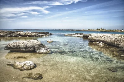 Rocks and cliffsPorto SelvaggioPebble bay among Aleppo pines and rocky shore, with cold springs and coves, to be reached on foot in the park.Free Excellent water Blue Flag town Protected area Nardò · Ionian
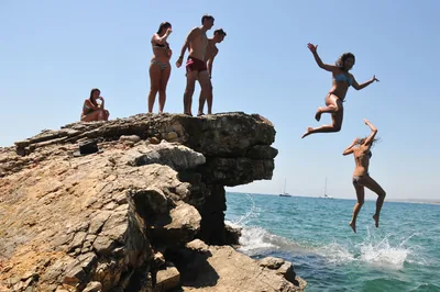 Rocks and cliffsSan GregorioInlet with a small pier and a bay of large pebbles among low rocks, waters for mask and snorkel and the ancient Messapian port of Vereto.Free · 1 beach club Excellent water Natura 2000 Patù · Ionian
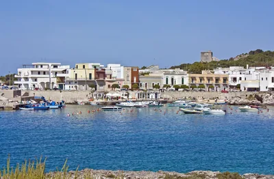 Rocks and cliffsSanta CaterinaRocky coast with a small sandy bay, small harbour, caves and an islet, as far as Torre dell'Alto at the edge of the park.2 beach clubs Excellent water Blue Flag town Natura 2000 Nardò · Ionian
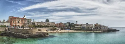 Rocks and cliffsSanta Maria al BagnoSmall sandy beach in the village, among low rocks with steps for diving, as far as the Quattro Colonne and the Reggia.1 beach club Excellent water Blue Flag town Natura 2000 Nardò, Galatone · Ionian
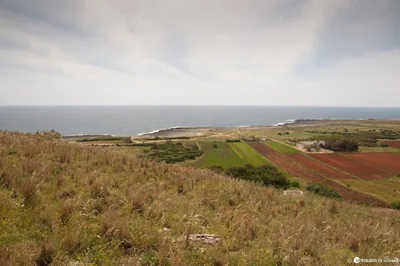 Rocks and cliffsSerra CicoraLong, low and rugged rocky shore between Torre Uluzzo and Torre Inserraglio, hard to reach, in the Porto Selvaggio park.1 beach club Excellent water Blue Flag town Protected area Nardò · Ionian
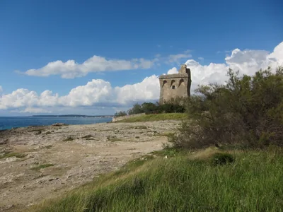 Rocks and cliffsTorre SquillaceCoast of low rocks with a little white sandy beach near the road, between Sant'Isidoro and Porto Cesareo, in the protected area.1 beach club Excellent water Blue Flag town Protected area Nardò · Ionian
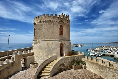 Rocks and cliffsTorre VadoLow, flat rocky shore with freshwater springs, a small harbour and a 16th-century tower; to the east, the pebble beach.1 beach club Excellent water Blue Flag town Morciano di Leuca, Patù · Ionian
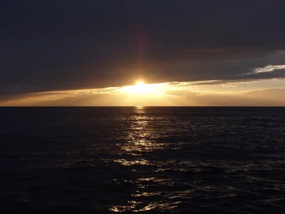 Rocks and cliffsTramontoneLong rocky shore between Porto Cupo and Lido Bruno, with short stretches of cliff and a few small sandy hollows.Free · 2 beach clubs Excellent water Natura 2000 Taranto · Ionian
Wind forecast by MET Norway (CC BY 4.0), for central Salento. Sources and licences: ARPA Puglia – Monitoraggio delle acque di balneazione (CC BY 4.0) · Regione Puglia – Aree di balneazione e classificazione 2024 (CC BY 4.0) · Regione Puglia – Piano Regionale delle Coste (SIT Puglia) (CC BY 4.0) · Regione Puglia – Ricognizione dei Piani comunali delle coste (A.D. 142/2025, SIT Puglia) (CC BY 4.0) · Regione Puglia – Parchi e riserve naturali (rev. 11/2022) (CC BY 4.0) · Regione Puglia – Perimetrazione dei siti Natura 2000 (12/2023) (CC BY 4.0) · Pugliapromozione – DMS Puglia, open data (stabilimenti balneari, luoghi di interesse) (CC BY 4.0) · © OpenStreetMap contributors (ODbL 1.0) · Wikimedia Commons (foto: autore e licenza su ogni foto) (CC0, PD, CC BY, CC BY-SA) · salentosagreeventi.it – luoghi (foto e testi già pubblicati) (come indicato sulle foto) · FEE Italia – Bandiera Blu 2026 (dato pubblico (elenco dei comuni premiati))