
Rocks and cliffs Blue Flag town Excellent water Protected areaFor families
Serra Cicora
Nardò (LE)· Sea: Ionian
The beach at a glance
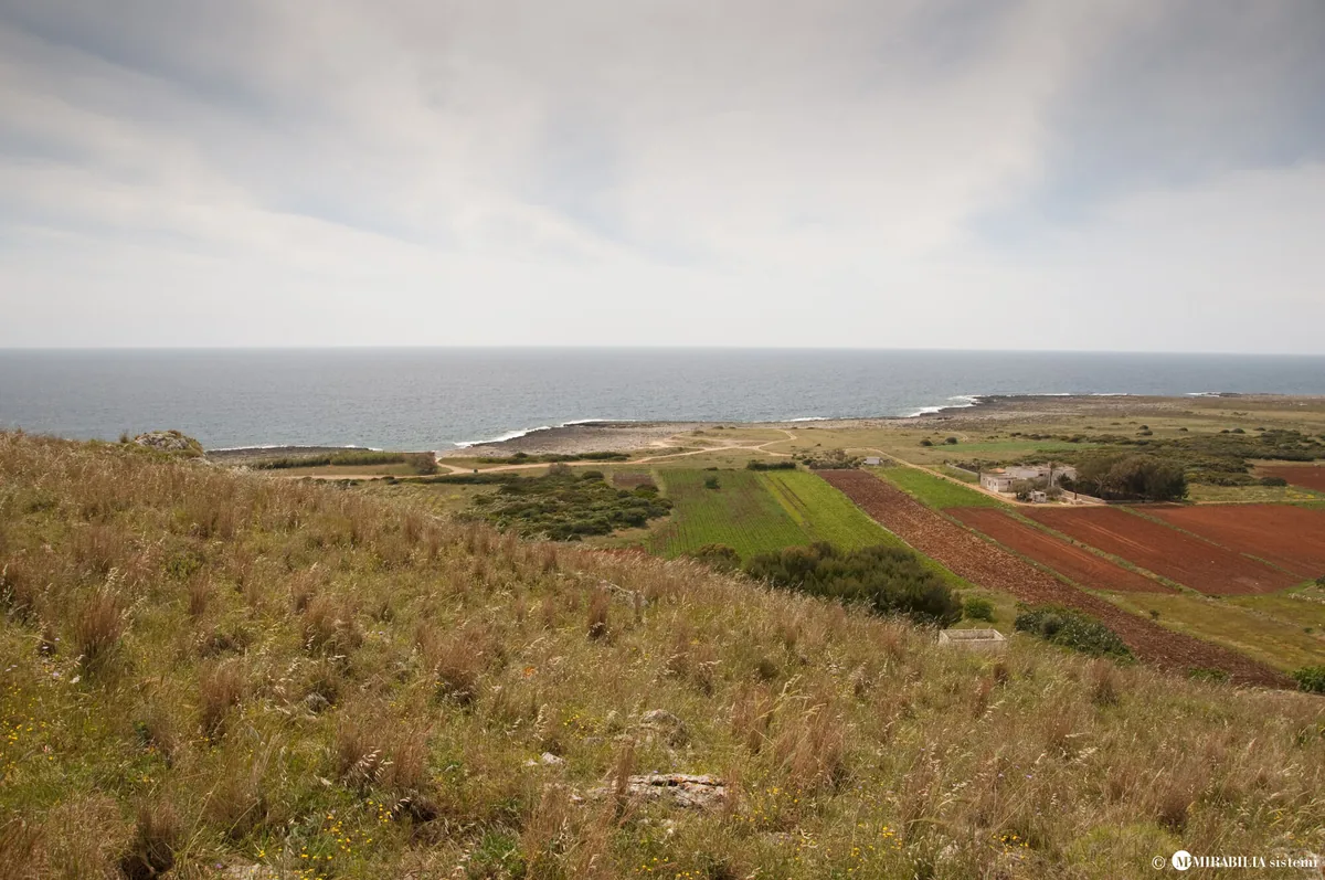
Long, low and rugged rocky shore between Torre Uluzzo and Torre Inserraglio, hard to reach, in the Porto Selvaggio park.
- Type of coast
- Rocks and cliffs
- Rocks 6,352 m
- Cliff 325 m
- Length
- 6,677 m
- Seafront
- 235 m free458 m leased to beach clubs
- Water quality
- Excellent · classification 2024
- Off season: latest samples of the 2026 season
- ARPA bathing areas:
- 1000 MT N.TORRE ULUZZOExcellentWed 15 Jul: within limits
- 1300 MT SUD TORRE INSERRAGLIOExcellentWed 15 Jul: within limits
- Blue Flag town
- Nardò has the Blue Flag this year
- Protected area
- Parco naturale regionale Porto Selvaggio e Palude del Capitano
- Natura 2000 network
- ZSC Torre Uluzzo (IT9150007)
About the beach
Serra Cicora is one of the wildest stretches of the Nardò coast: over six kilometres between Torre Uluzzo and Torre Inserraglio, inside the Porto Selvaggio e Palude del Capitano regional nature park. The rocky shore is low but rugged, with irregular rocks that reach right down to the sea and make access difficult: you will need water shoes and care. The only little beach is pebbly, in the Rinaru area, and in a small bay there is a beach club on wooden platforms.
You reach it from the coast road. The seabed is recommended for diving. The plateau behind is an important archaeological site: a Neolithic village and necropolis have been found here, and human presence goes back as far as the Palaeolithic. Protection rules apply in the park.
There are few car parks, the first not far from the coast. Nardò is a Blue Flag municipality. The coast faces south-west: with north (tramontana), north-east (grecale), east (levante), south-east (scirocco) and north-west (maestrale) winds it is sheltered, with south (ostro), south-west (libeccio) and west (ponente) winds the sea gets rough. It is part of the Torre Uluzzo Natura 2000 site.
On the map
Stretch of beachBeach club
Beach clubs
On this stretch of beach or less than 300 m away.
Events nearby
In the coming days within 5 km.
No events within 5 km in the coming days.
Things to see nearby
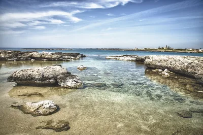 Sea and cavesPorto SelvaggioIn the heart of the Regional Park “Porto Selvaggio and Palude del
Capitano”, the small pebble beach stretches along the fresh pine forest and
the freshwater springs, not far away from the cliff of Torre Uluzzo. Nardò 2.3 km away
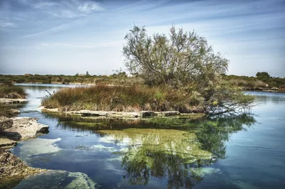 Nature and gardensRegional Nature Park Porto Selvaggio e Palude del CapitanoA thick pine forest, a cliff overlooking the blue sea and a marsh riches
with “spunnulate”: here the wild nature is to be discovered. Nardò 2.7 km away
Beaches nearby
- Rocks and cliffsPorto SelvaggioPebble bay among Aleppo pines and rocky shore, with cold springs and coves, to be reached on foot in the park.Free Excellent water Blue Flag town Protected area Nardò · Ionian 2.8 km away
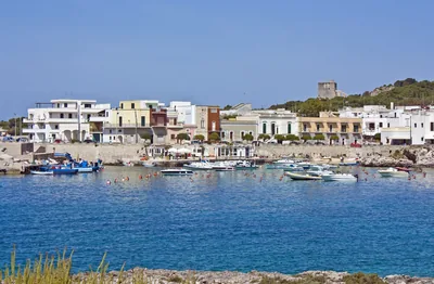 Rocks and cliffsSanta CaterinaRocky coast with a small sandy bay, small harbour, caves and an islet, as far as Torre dell'Alto at the edge of the park.2 beach clubs Excellent water Blue Flag town Natura 2000 Nardò · Ionian 4.4 km away
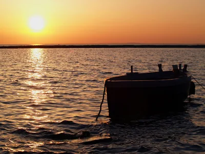 SandSant'IsidoroInlet of very fine sand with shallow water, sheltered by an islet, among rocks and a tower, in the marine protected area.Free · 1 beach club Excellent water Blue Flag town Protected area Nardò · Ionian 5.8 km away
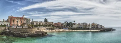 Rocks and cliffsSanta Maria al BagnoSmall sandy beach in the village, among low rocks with steps for diving, as far as the Quattro Colonne and the Reggia.1 beach club Excellent water Blue Flag town Natura 2000 Nardò, Galatone · Ionian 6.5 km away
Sources and licences
The data comes from public sources; before swimming check the signs and the town’s bathing ordinances.
- ARPA Puglia – Monitoraggio delle acque di balneazione (CC BY 4.0)
- Regione Puglia – Aree di balneazione e classificazione 2024 (CC BY 4.0)
- Regione Puglia – Piano Regionale delle Coste (SIT Puglia) (CC BY 4.0)
- © OpenStreetMap contributors (ODbL 1.0)
- Regione Puglia – Ricognizione dei Piani comunali delle coste (A.D. 142/2025, SIT Puglia) (CC BY 4.0)
- Regione Puglia – Parchi e riserve naturali (rev. 11/2022) (CC BY 4.0)
- Regione Puglia – Perimetrazione dei siti Natura 2000 (12/2023) (CC BY 4.0)
- Pugliapromozione – DMS Puglia, open data (stabilimenti balneari, luoghi di interesse) (CC BY 4.0)
- Wikimedia Commons (foto: autore e licenza su ogni foto) (CC0, PD, CC BY, CC BY-SA)
- salentosagreeventi.it – luoghi (foto e testi già pubblicati) (come indicato sulle foto)
- FEE Italia – Bandiera Blu 2026 (dato pubblico (elenco dei comuni premiati))
- Wind forecast: MET Norway (CC BY 4.0).
- Photos: Mirabilia Sistemi · Regione Puglia
- Photos: Regione Puglia, CC BY-SA 4.0 · Wikimedia Commons
- Photos: Thilo Parg, CC BY-SA 4.0 · Wikimedia Commons
- Photos: User:Nikater, CC BY-SA 3.0 · Wikimedia Commons
- Photos: User:Nikater, CC BY-SA 3.0 · Wikimedia Commons
- Photos: Thilo Parg, CC BY-SA 4.0 · Wikimedia Commons
- Photos: Thilo Parg, CC BY-SA 4.0 · Wikimedia Commons
- Photos: Thilo Parg, CC BY-SA 4.0 · Wikimedia Commons
- Photos: Thilo Parg, CC BY-SA 4.0 · Wikimedia Commons
- Photos: Thilo Parg, CC BY-SA 4.0 · Wikimedia Commons
- Data updated: Sunday, 25 October 2026.