
Sand Blue Flag town Excellent water Protected areaFor families
Torre Guaceto
Carovigno (BR),Brindisi (BR)· Sea: Adriatic
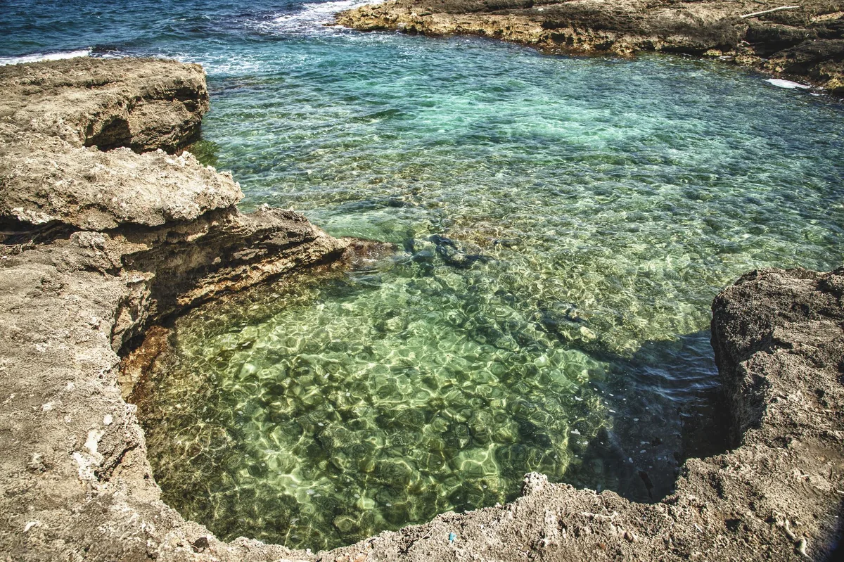
The beach at a glance
Bay below the tower of Guaceto and a free beach as far as the Canale Reale, in the heart of the marine protected area.
- Type of coast
- Sand
- Sand 448 m
- Rocks 775 m
- Length
- 1,223 m
- Seafront
- 100% free
- 1,010 m free0 m leased to beach clubs
- Water quality
- Excellent · classification 2024
- Off season: latest samples of the 2026 season
- ARPA bathing areas:
- TORRE GUACETO CALA ANTISTANTEExcellentMon 13 Jul: within limits
- TORRE GUACETO - CANALE REALE 250 MT. SUDExcellentMon 13 Jul: within limits
- Blue Flag town
- Carovigno has the Blue Flag this year
- Protected area
- Riserva naturale marina Torre Guaceto
- Riserva naturale marina, zone B
- Riserva naturale statale Torre Guaceto
- Natura 2000 network
- ZSC Torre Guaceto e Macchia S. Giovanni (IT9140005)
- ZPS Torre Guaceto (IT9140008)
About the beach
The bay below the tower of Guaceto and the beach that runs as far as the Canale Reale are the heart of the reserve, straddling Carovigno and Brindisi. The coast alternates coves of fine sand with stretches of rocks, and here it is all free: there are no beach clubs.
On the headland stands the square tower that gives the area its name, one of the coastal towers of Terra d'Otranto; next to it a fortified Bronze Age settlement has been found, and since 2019 a necropolis from the same period has been under excavation. In the sea there are posidonia meadows. The reserve and the marine protected area are managed by a consortium of the municipalities and WWF. It is part of the Torre Guaceto e Macchia S. Giovanni and Torre Guaceto Natura 2000 sites.
In the marine protected area there are rules on anchoring, fishing and access: some zones are under full protection and swimming is forbidden there. The nearest car park is about a kilometre away, so part of the way is on foot; bring water and shade. The seabed is also suitable for children. With north (tramontana), north-east (grecale) and east (levante) winds the sea gets rough; with south-east (scirocco), south (ostro), south-west (libeccio), west (ponente) and north-west (maestrale) winds the bay is sheltered.
On the map
Stretch of beach
Events nearby
In the coming days within 5 km.
No events within 5 km in the coming days.
Things to see nearby
 Sea and cavesTorre GuacetoA natural paradise, made of sandy coves, clear water and expanses of
Posidonia Oceanica, Torre Guaceto welcomes visitors in the shade of an
Aragonese watchtower, for a relaxing and sport holiday. Carovigno very close
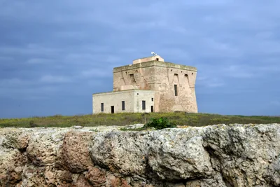 Sea and cavesTelematic Mooring Field of Torre GuacetoAn innovative telematic mooring system allowing access to the enchanting Torre Guaceto Marine Protected Area. Carovigno very close
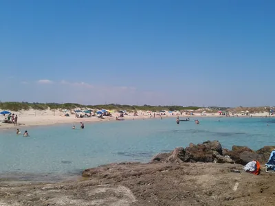 Sea and cavesPunta Penna GrossaThe long sandy beach of Punta Penna Grossa stretches in the North part of
the Nature Reserve of Torre Guaceto, amid dunes, junipers and freshwater
marsh. Carovigno 1.4 km away
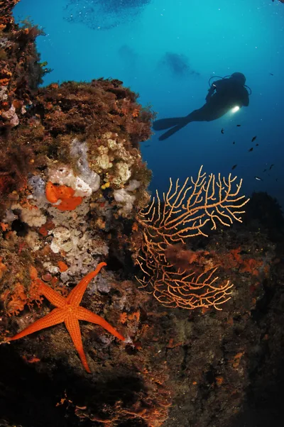 Sea and cavesTorre Guaceto Protected Marine AreaOverlooked by centuries-old coastal watchtowers, the cliffs and sandy
beaches of the Protected Marine Area of Torre Guaceto extend along the
Adriatic coast from Punta Penna Grossa to the cliffs of Apani. Carovigno 1.4 km away
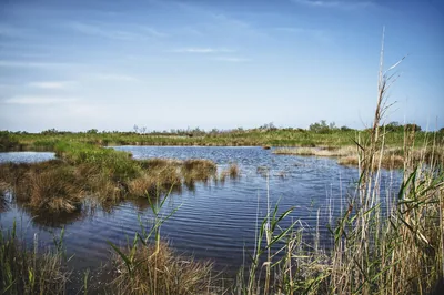 Nature and gardensState Nature Reserve of Torre GuacetoThe Reserve of Torre Guaceto, amid hundred-years old olive trees, dunes and
marshes, await for visitors for educational activities and hikes or bike
tours through the paths surrounded by green. Carovigno 1.6 km away
Beaches nearby
- SandPunta Penna GrossaLong beach of fine sand among dunes and junipers at the start of the Torre Guaceto reserve, almost entirely free.Free · 1 beach club Excellent water Blue Flag town Protected area Carovigno · Adriatic 1 km away
- SandPunta BufaloriaSandy beach with dunes and scrub in zone C of the Torre Guaceto reserve, largely free, with low rocks.Free · 1 beach club Excellent water Blue Flag town Protected area Carovigno · Adriatic 2 km away
- SandApaniLong sandy beach from the Apani rock towards Brindisi, with many beach clubs and a few free stretches.6 beach clubs Excellent water Protected area Brindisi · Adriatic 4.2 km away
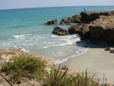 Rocks and cliffsSpecchiollaLow rocky coast with small coves in front of the village of Specchiolla, with several beach clubs and free stretches on the rocks.4 beach clubs Excellent water Blue Flag town Carovigno · Adriatic 4.7 km away
Sources and licences
The data comes from public sources; before swimming check the signs and the town’s bathing ordinances.
- ARPA Puglia – Monitoraggio delle acque di balneazione (CC BY 4.0)
- Regione Puglia – Aree di balneazione e classificazione 2024 (CC BY 4.0)
- Regione Puglia – Piano Regionale delle Coste (SIT Puglia) (CC BY 4.0)
- © OpenStreetMap contributors (ODbL 1.0)
- Regione Puglia – Ricognizione dei Piani comunali delle coste (A.D. 142/2025, SIT Puglia) (CC BY 4.0)
- Regione Puglia – Parchi e riserve naturali (rev. 11/2022) (CC BY 4.0)
- Regione Puglia – Perimetrazione dei siti Natura 2000 (12/2023) (CC BY 4.0)
- Wikimedia Commons (foto: autore e licenza su ogni foto) (CC0, PD, CC BY, CC BY-SA)
- salentosagreeventi.it – luoghi (foto e testi già pubblicati) (come indicato sulle foto)
- FEE Italia – Bandiera Blu 2026 (dato pubblico (elenco dei comuni premiati))
- Wind forecast: MET Norway (CC BY 4.0).
- Photos: Leonardo D'Angelo · Regione Puglia
- Photos: Gabriele nex, CC BY-SA 4.0 · Wikimedia Commons
- Photos: Gabriele nex, CC BY-SA 4.0 · Wikimedia Commons
- Photos: Dbuccarella, CC BY-SA 4.0 · Wikimedia Commons
- Photos: Dbuccarella, CC BY-SA 4.0 · Wikimedia Commons
- Photos: Lanottegiuseppe, CC BY-SA 4.0 · Wikimedia Commons
- Photos: Nicolò_Pignatelli, CC BY-SA 4.0 · Wikimedia Commons
- Photos: Nicolò_Pignatelli, CC BY-SA 4.0 · Wikimedia Commons
- Photos: Nicolò_Pignatelli, CC BY-SA 4.0 · Wikimedia Commons
- Photos: Nicolò_Pignatelli, CC BY-SA 4.0 · Wikimedia Commons
- Data updated: Sunday, 25 October 2026.