
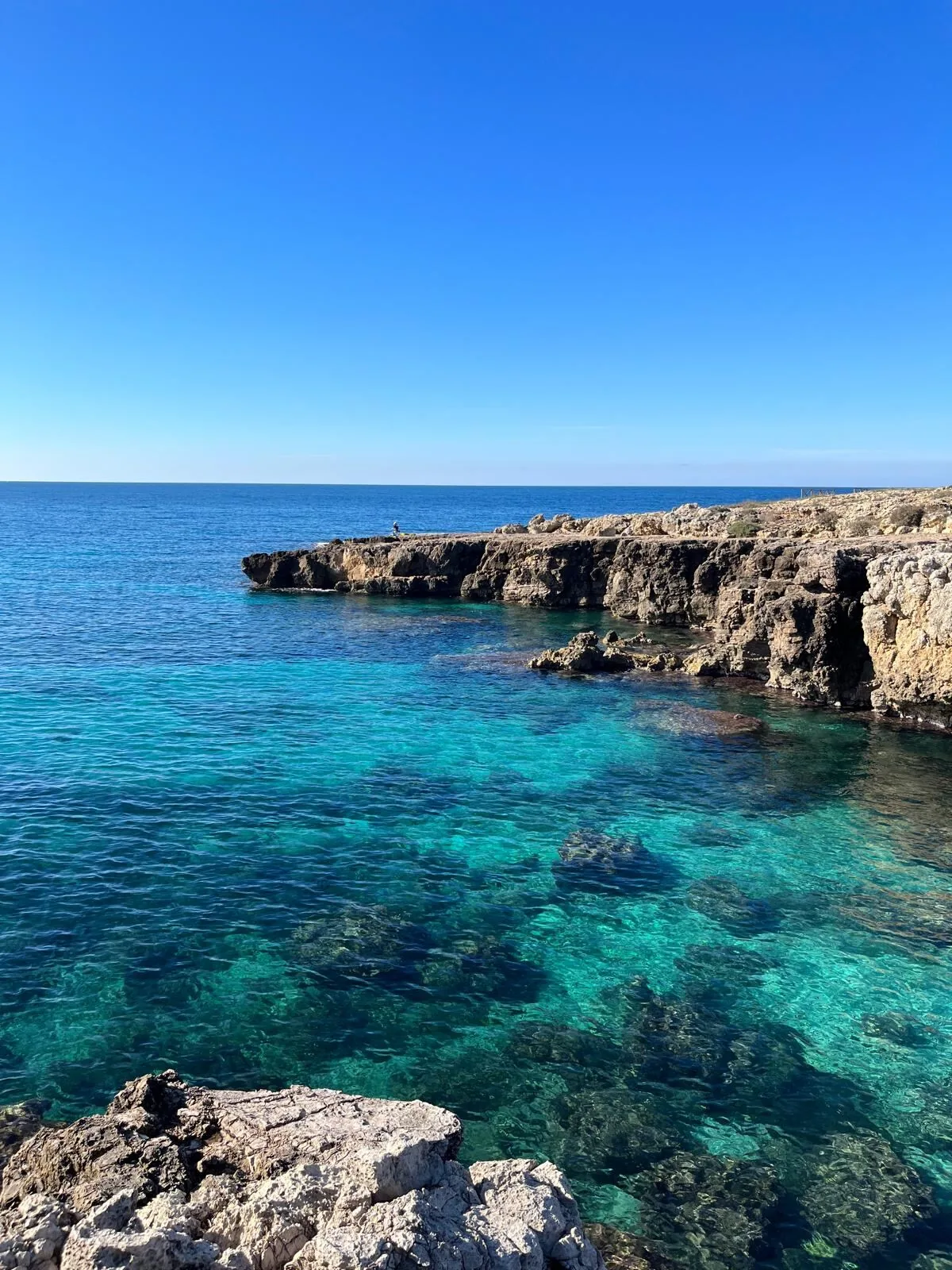
The beach at a glance
Low rocky shore with small free bays, flat rocks that emerge at low tide and a freshwater spring.
- Type of coast
- Rocks and cliffs
- Rocks 3,286 m
- Length
- 3,286 m
- Water quality
- Excellent · classification 2024
- Off season: latest samples of the 2026 season
- Latest samples:
- Tue 14 Jul: within limits
- Tue 16 Jun: within limits
- Tue 19 May: within limits
- Tue 21 Apr: within limits
- Natura 2000 network
- ZSC/ZPS Litorale di Gallipoli e Isola S. Andrea (IT9150015)
About the beach
Posto Rosso is a small seaside spot in Alliste, between Capilungo and Torre San Giovanni, also known as Cisternella or Stella Marina. The coast is all low rocky shore, for over three kilometres, with a series of small free bays that are easy to reach. There is no sand: you get into the water from the rocks, with water shoes.
At low tide the palastre emerge at the water's edge, flat rocks that are easy to walk on, and a freshwater spring cools the sea. To the north the rocky shore becomes rougher and smells of Mediterranean scrub. There are different versions of where the name comes from: the reddish colour of the rocks, a little red house that fishermen used as a landmark, or a seaweed.
The nearest car park is almost two kilometres away: you get there on foot. The coast faces south-west: the best time is with offshore winds such as the north wind (tramontana), and it is also sheltered with north-east (grecale), east (levante), south-east (scirocco) and north-west (maestrale) winds; with south (ostro), south-west (libeccio) and west (ponente) winds the sea gets rough. It is part of the Litorale di Gallipoli e Isola S. Andrea Natura 2000 site.
On the map
Stretch of beach
Events nearby
In the coming days within 5 km.
Festival and Fair of San Quintino
The festival celebrates San Quintino with a mass, procession, fair, and music in honor of the patron saint.
Things to see nearby
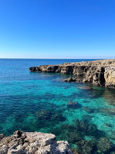 Sea and cavesPosto RossoPosto Rosso, enhanced by water springs and by the red cliffs, boasts a low
and rocky coast, along which small bays appear. Alliste very close
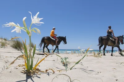 Nature and gardensLitorale di Ugento Regional Nature ParkAn uncontaminated oasis of luxuriant nature, the “Litorale di Ugento”
Regional Nature Park boasts sandy beaches, stretches of water, “gravinelle”
(small ravines), and woody areas. Ugento 2.1 km away
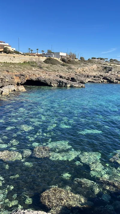 Sea and cavesCapilungoCapilungo boasts its long and low cliff which overlooks a blue and
crystal-clear sea, with its small coves. Alliste 2.5 km away
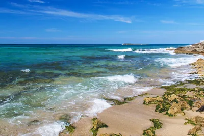 Sea and cavesTorre San GiovanniFrom the long sandy and golden beach, as far as the scented pine forest,
from the dunes dotted with plants typical of the Mediterranean scrub, as
far as the small island which appears in the turquoise sea: Torre… Ugento 3.3 km away
Beaches nearby
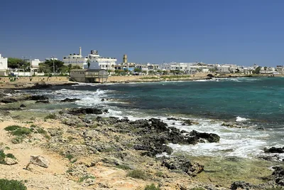 Rocks and cliffsTorre San Giovanni – Le PazzeCoast of low rocks north of Torre San Giovanni, facing the isola delle Pazze, with many free stretches, in the Ugento park.Free · beach clubs Excellent water Blue Flag town Protected area Ugento · Ionian 2.4 km away
- Rocks and cliffsCapilungoCoast of low rocks and small bays, all free and easy to reach, from the Pilella to the Sinfonò tower.Free Excellent water Alliste · Ionian 2.5 km away
- SandTorre San GiovanniLong beach of fine golden sand south of the village, among low dunes, pine wood and beach clubs, in the Ugento park.Free · 13 beach clubs Excellent water Blue Flag town Protected area Ugento · Ionian 5.6 km away
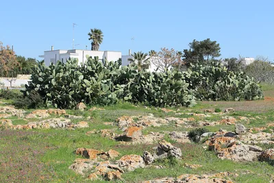 Rocks and cliffsTorre SudaCoast of low rocks between Capilungo and Mancaversa, with Posto Racale: no sand, you get into the water from the rock.Free Excellent water Racale · Ionian 5.8 km away
Sources and licences
The data comes from public sources; before swimming check the signs and the town’s bathing ordinances.
- ARPA Puglia – Monitoraggio delle acque di balneazione (CC BY 4.0)
- Regione Puglia – Aree di balneazione e classificazione 2024 (CC BY 4.0)
- Regione Puglia – Piano Regionale delle Coste (SIT Puglia) (CC BY 4.0)
- © OpenStreetMap contributors (ODbL 1.0)
- Regione Puglia – Perimetrazione dei siti Natura 2000 (12/2023) (CC BY 4.0)
- Wikimedia Commons (foto: autore e licenza su ogni foto) (CC0, PD, CC BY, CC BY-SA)
- salentosagreeventi.it – luoghi (foto e testi già pubblicati) (come indicato sulle foto)
- Wind forecast: MET Norway (CC BY 4.0).
- Photos: Gianni Scorrano · Regione Puglia
- Photos: Lupiae, Public domain · Wikimedia Commons
- Data updated: Sunday, 25 October 2026.