
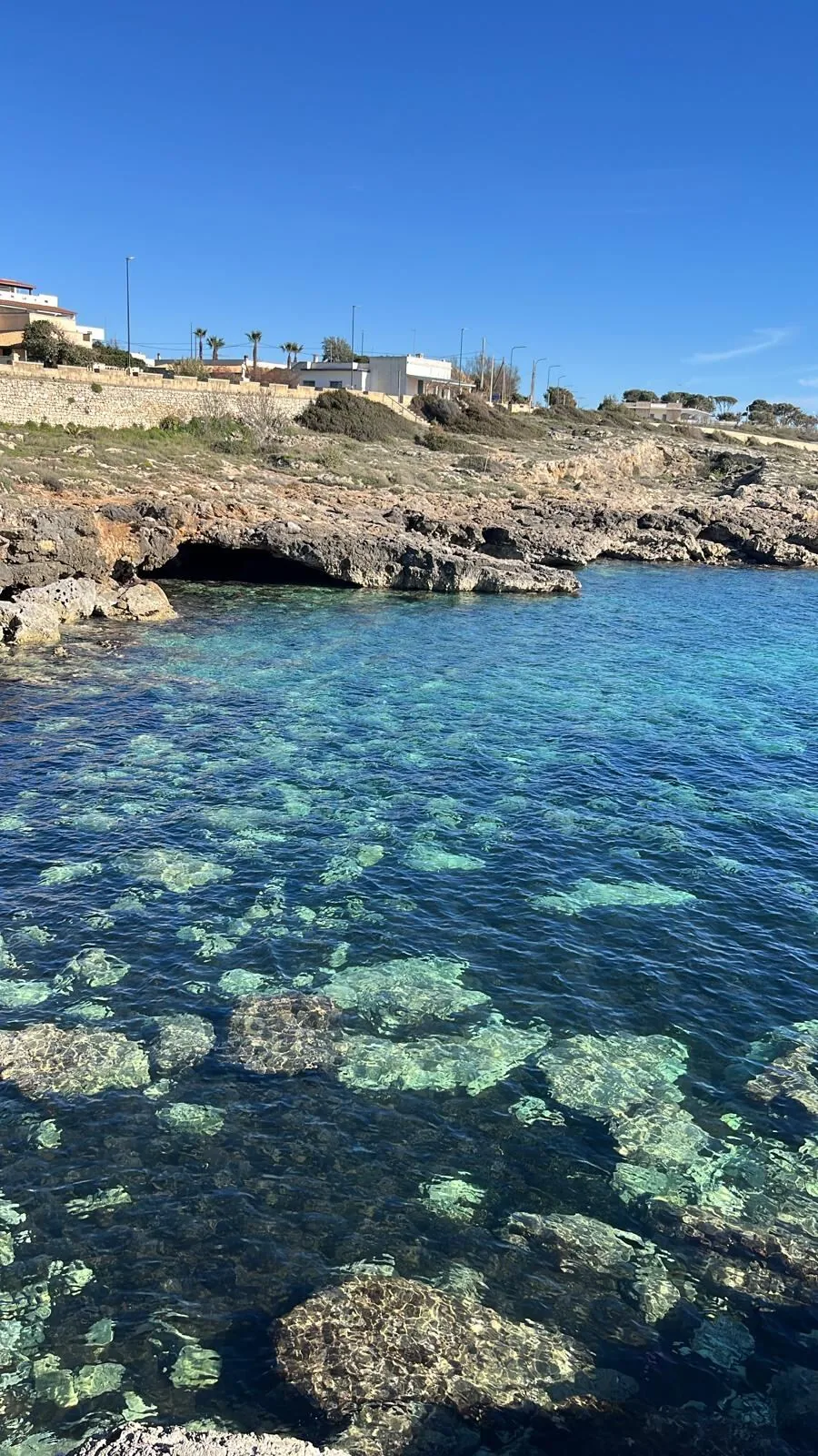
The beach at a glance
Coast of low rocks and small bays, all free and easy to reach, from the Pilella to the Sinfonò tower.
- Type of coast
- Rocks and cliffs
- Rocks 4,009 m
- Length
- 4,009 m
- Seafront
- 248 m free0 m leased to beach clubs
- Water quality
- Excellent · classification 2024
- Off season: latest samples of the 2026 season
- ARPA bathing areas:
- LA PILELLAExcellentTue 14 Jul: within limits
- MARINA DI CAPILUNGOExcellentTue 14 Jul: within limits
About the beach
Capilungo is a small seaside spot in Alliste between Posto Rosso and Torre Suda. Along the stretch of about four kilometres, which includes the Pilella, the coast is low rocky shore with no sandy stretches, broken up by small inlets and bays. It is easy to reach and free along its entire length; to get into the water from the rocks you will need water shoes.
The sea is clear and the bay of Torre Sinfonò is recommended for diving. The 16th-century tower that gives it its name stands on the shore and is now privately owned. The place, state property until the second half of the 19th century, was given the name Capilungo only in 1961.
There is a car park a few steps from the sea. The coast faces south-west: with north (tramontana), north-east (grecale), east (levante), south-east (scirocco) and north-west (maestrale) winds it is sheltered, with south (ostro), south-west (libeccio) and west (ponente) winds the sea gets rough.
On the map
Stretch of beach
Events nearby
In the coming days within 5 km.
Festival and Fair of San Quintino
The festival celebrates San Quintino with a mass, procession, fair, and music in honor of the patron saint.
Things to see nearby
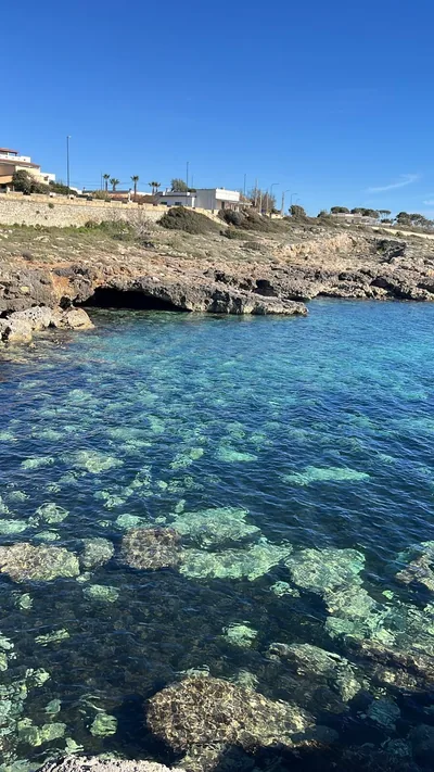 Sea and cavesCapilungoCapilungo boasts its long and low cliff which overlooks a blue and
crystal-clear sea, with its small coves. Alliste very close
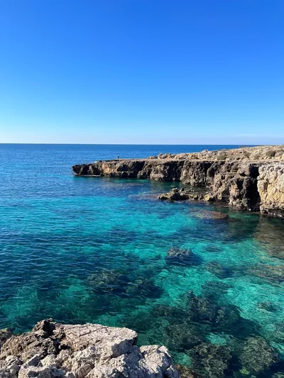 Sea and cavesPosto RossoPosto Rosso, enhanced by water springs and by the red cliffs, boasts a low
and rocky coast, along which small bays appear. Alliste 3.2 km away
Beaches nearby
- Rocks and cliffsPosto RossoLow rocky shore with small free bays, flat rocks that emerge at low tide and a freshwater spring.Free Excellent water Natura 2000 Alliste · Ionian 2.5 km away
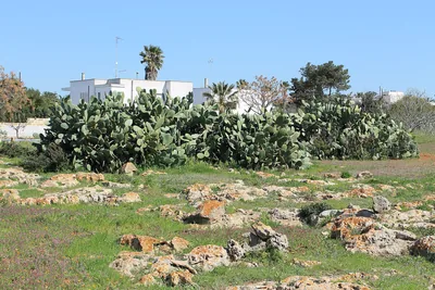 Rocks and cliffsTorre SudaCoast of low rocks between Capilungo and Mancaversa, with Posto Racale: no sand, you get into the water from the rock.Free Excellent water Racale · Ionian 3.3 km away
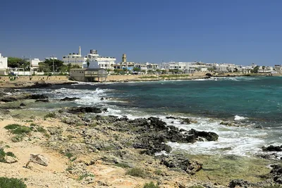 Rocks and cliffsTorre San Giovanni – Le PazzeCoast of low rocks north of Torre San Giovanni, facing the isola delle Pazze, with many free stretches, in the Ugento park.Free · beach clubs Excellent water Blue Flag town Protected area Ugento · Ionian 4.9 km away
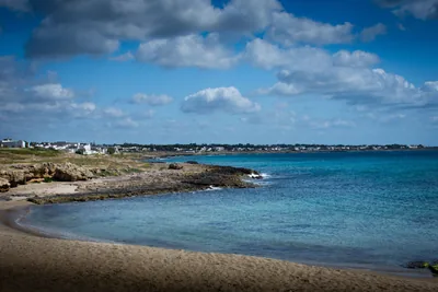 Rocks and cliffsMarina di MancaversaLow rocky shore of flat rocks, almost all free and easy to walk on, with seabeds full of life, as far as Posto Li Sorci.Free · 1 beach club Excellent water Taviano, Gallipoli · Ionian 6.6 km away
Sources and licences
The data comes from public sources; before swimming check the signs and the town’s bathing ordinances.
- ARPA Puglia – Monitoraggio delle acque di balneazione (CC BY 4.0)
- Regione Puglia – Aree di balneazione e classificazione 2024 (CC BY 4.0)
- Regione Puglia – Piano Regionale delle Coste (SIT Puglia) (CC BY 4.0)
- © OpenStreetMap contributors (ODbL 1.0)
- Regione Puglia – Ricognizione dei Piani comunali delle coste (A.D. 142/2025, SIT Puglia) (CC BY 4.0)
- Wikimedia Commons (foto: autore e licenza su ogni foto) (CC0, PD, CC BY, CC BY-SA)
- salentosagreeventi.it – luoghi (foto e testi già pubblicati) (come indicato sulle foto)
- Wind forecast: MET Norway (CC BY 4.0).
- Photos: Dalila Santantonio · Regione Puglia
- Photos: Giacomo Cimino ( foto.giacomocimino.workers.dev · @giacomociminoph ), CC BY-SA 4.0 · Wikimedia Commons
- Photos: Falk2, CC BY-SA 4.0 · Wikimedia Commons
- Data updated: Sunday, 25 October 2026.