
Sand Blue Flag town Excellent waterFor families
Pescoluse – Maldive del Salento
Salve (LE)· Sea: Ionian
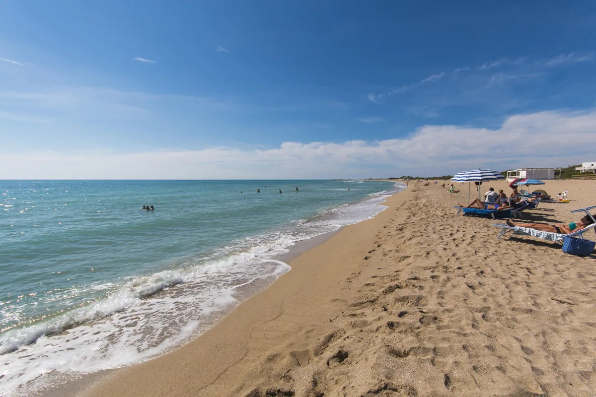
The beach at a glance
Long beach of very fine pale sand with dunes, shallow water, free stretches and many beach clubs, from Posto Vecchio to Pescoluse.
- Type of coast
- Sand
- Sand 4,152 m
- Rocks 226 m
- Length
- 4,576 m
- Seafront
- 60% free
- 2,734 m free1,842 m leased to beach clubs
- Water quality
- Excellent · classification 2024
- Off season: latest samples of the 2026 season
- ARPA bathing areas:
- POSTO VECCHIO DI SALVEExcellentMon 13 Jul: within limits
- MARINA DI PESCOLUSEExcellentMon 13 Jul: within limits
- Blue Flag town
- Salve has the Blue Flag this year
- Coastal erosion
- medium
About the beach
The Pescoluse beach runs for over four kilometres from Posto Vecchio to the seaside village of Pescoluse, towards Torre Pali: very fine, very pale sand, which has earned it the nickname of the Maldives of Salento. Much of the beachfront is free and alternates with numerous beach clubs; in places rocks break the surface at the water's edge. The seabed stays shallow for a few metres and then drops suddenly: bear this in mind with children. It is a beach suitable for families.
Behind the sand runs a long belt of dunes where wild lilies and ferns flower in summer, and beyond it opens the red earth crossed by the Fani channel. The beach is subject to erosion.
There are plenty of car parks, the first a few steps away. Salve is a Blue Flag municipality. The beach faces south: with north (tramontana), north-east (grecale), east (levante), west (ponente) and north-west (maestrale) winds the sea is calm, with south-east (scirocco), south (ostro) and south-west (libeccio) winds it gets rough.
On the map
Stretch of beachBeach club
Beach clubs
On this stretch of beach or less than 300 m away.
Lido Gold Lounge
Lido Tropical
Papeete Salentino
Calòma
La Cabina
Seychelles del Salento
7 more beach clubs
Lido Marirò
Bossa Nova
Eden
Le Maldive del Salento
Le Cinque Vele
Lido Venere
Lido 77
Events nearby
In the coming days within 5 km.
No events within 5 km in the coming days.
Things to see nearby
 Sea and cavesMarina di PescoluseWith its fine golden sand and the crystal clear water, the beach of
Pescoluse is the envy of the exotic destinations overseas. Salve 2.1 km away
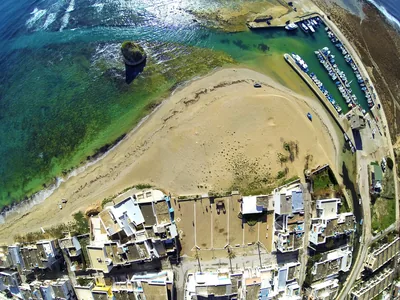 Sea and cavesApprodo di Torre PaliThe landing stage in Torre Pali features a three-arm flood mooring, a low-water mooring and a beaching ramp. Salve 2.8 km away
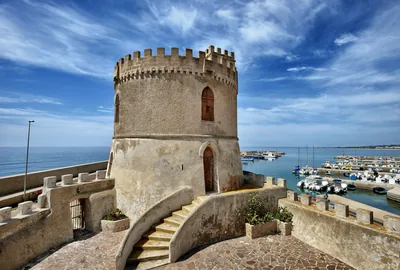 Sea and cavesThe Landing of Torre VadoOf recent construction, there is not much room for yachts because most of
the space is occupied by local shipping vessels Morciano di Leuca 2.9 km away
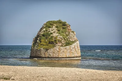 Sea and cavesTorre PaliTorre Pali appears out of the crystal clear water, not far away from the
fine sand and the legends which shroud the Isola della Fanciulla. Salve 3 km away
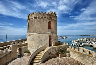 Sea and cavesTorre VadoLow and rocky cliffs and some parts with fine sand: in Torre Vado there are
freshwater and cold springs, where you can enjoy a refreshing bathe. Morciano di Leuca 3.1 km away
Beaches nearby
- SandTorre PaliFree beach of very fine sand up to the tower standing in the water, then low rocks towards the Isola della Fanciulla.Free Excellent water Blue Flag town Salve · Ionian 3.2 km away
- Rocks and cliffsTorre VadoLow, flat rocky shore with freshwater springs, a small harbour and a 16th-century tower; to the east, the pebble beach.1 beach club Excellent water Blue Flag town Morciano di Leuca, Patù · Ionian 3.6 km away
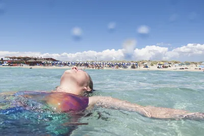 SandLido MariniGolden sandy beach almost two kilometres long with dunes and low rocks, with free stretches and beach clubs, between Salve and Ugento.Free · 6 beach clubs Excellent water Blue Flag town Protected area Ugento · Ionian 5.8 km away
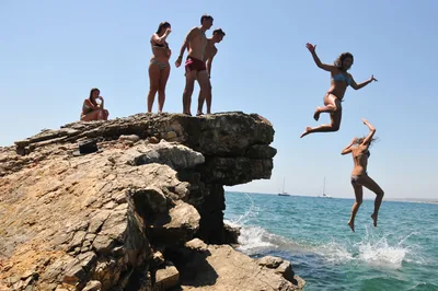 Rocks and cliffsSan GregorioInlet with a small pier and a bay of large pebbles among low rocks, waters for mask and snorkel and the ancient Messapian port of Vereto.Free · 1 beach club Excellent water Natura 2000 Patù · Ionian 6.3 km away
Sources and licences
The data comes from public sources; before swimming check the signs and the town’s bathing ordinances.
- ARPA Puglia – Monitoraggio delle acque di balneazione (CC BY 4.0)
- Regione Puglia – Aree di balneazione e classificazione 2024 (CC BY 4.0)
- Regione Puglia – Piano Regionale delle Coste (SIT Puglia) (CC BY 4.0)
- © OpenStreetMap contributors (ODbL 1.0)
- Regione Puglia – Ricognizione dei Piani comunali delle coste (A.D. 142/2025, SIT Puglia) (CC BY 4.0)
- Pugliapromozione – DMS Puglia, open data (stabilimenti balneari, luoghi di interesse) (CC BY 4.0)
- salentosagreeventi.it – luoghi (foto e testi già pubblicati) (come indicato sulle foto)
- FEE Italia – Bandiera Blu 2026 (dato pubblico (elenco dei comuni premiati))
- Wind forecast: MET Norway (CC BY 4.0).
- Photos: Paolo Laku · Regione Puglia
- Data updated: Sunday, 25 October 2026.