
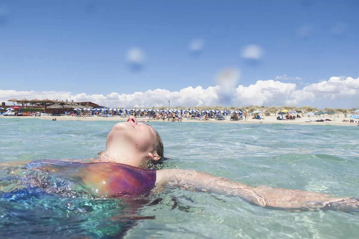
The beach at a glance
Golden sandy beach almost two kilometres long with dunes and low rocks, with free stretches and beach clubs, between Salve and Ugento.
- Type of coast
- Sand
- Sand 1,313 m
- Rocks 324 m
- Length
- 1,737 m
- Seafront
- 69% free
- 1,195 m free542 m leased to beach clubs
- Water quality
- Excellent · classification 2024
- Off season: latest samples of the 2026 season
- ARPA bathing areas:
- LIDO MARINI-SPIAGGIAExcellentMon 13 Jul: within limits
- EX SCAR. ITTICA UGENTO A P. MACOLONEExcellentMon 13 Jul: within limits
- Blue Flag town
- Ugento has the Blue Flag this year
- Protected area
- Parco naturale regionale Litorale di Ugento
- Natura 2000 network
- ZSC Litorale di Ugento (IT9150009)
- Coastal erosion
- medium
About the beach
Lido Marini is a beach of fine golden sand that stretches for almost two kilometres between the municipalities of Salve and Ugento. It is almost all sand, with a few stretches of low rocks that are easy to reach; more than half the beachfront is free, the rest is taken up by several beach clubs. Behind it runs a belt of dunes, and the beach is suitable for families.
Along the rocky coast south of the village, springs well up and the water suddenly turns cold and fresh. To the north, towards Torre Mozza, the sand widens in front of once marshy land, bordered by the Sponderati sud reclamation basin. The seabed lends itself to spearfishing and exploring with a mask. The stretch is in the Litorale di Ugento regional nature park, where the protection rules apply, and is subject to erosion.
The nearest car park is a few steps away. Ugento is a Blue Flag municipality. The beach faces south: with north (tramontana), north-east (grecale), east (levante), west (ponente) and north-west (maestrale) winds it is sheltered, with south-east (scirocco), south (ostro) and south-west (libeccio) winds the sea gets rough. It is part of the Litorale di Ugento Natura 2000 site.
On the map
Stretch of beachBeach club
Beach clubs
On this stretch of beach or less than 300 m away.
Events nearby
In the coming days within 5 km.
No events within 5 km in the coming days.
Things to see nearby
 Sea and cavesLido MariniGolden sand, crystal clear sea and freshwater springs: Lido Marini welcomes
bathers to enjoy the sun or explore the shallow water. Ugento very close
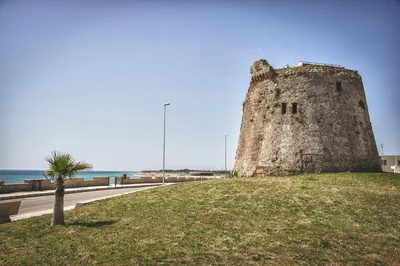 Sea and cavesTorre MozzaThe ruined watchtower overlooks the long beach of Torre Mozza, with fine
sand, lapped by the crystal clear water. Ugento 1.4 km away
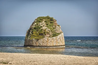 Sea and cavesTorre PaliTorre Pali appears out of the crystal clear water, not far away from the
fine sand and the legends which shroud the Isola della Fanciulla. Salve 2.9 km away
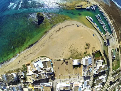 Sea and cavesApprodo di Torre PaliThe landing stage in Torre Pali features a three-arm flood mooring, a low-water mooring and a beaching ramp. Salve 3 km away
Beaches nearby
- SandTorre MozzaLong beach of very fine sand sloping gently into the water, with high dunes and scrub behind, in the Ugento park.Free · 9 beach clubs Excellent water Blue Flag town Protected area Ugento · Ionian 2.2 km away
- SandTorre PaliFree beach of very fine sand up to the tower standing in the water, then low rocks towards the Isola della Fanciulla.Free Excellent water Blue Flag town Salve · Ionian 2.7 km away
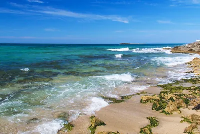 SandTorre San GiovanniLong beach of fine golden sand south of the village, among low dunes, pine wood and beach clubs, in the Ugento park.Free · 13 beach clubs Excellent water Blue Flag town Protected area Ugento · Ionian 5.3 km away
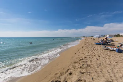 SandPescoluse – Maldive del SalentoLong beach of very fine pale sand with dunes, shallow water, free stretches and many beach clubs, from Posto Vecchio to Pescoluse.Free · 13 beach clubs Excellent water Blue Flag town Salve · Ionian 5.8 km away
Sources and licences
The data comes from public sources; before swimming check the signs and the town’s bathing ordinances.
- ARPA Puglia – Monitoraggio delle acque di balneazione (CC BY 4.0)
- Regione Puglia – Aree di balneazione e classificazione 2024 (CC BY 4.0)
- Regione Puglia – Piano Regionale delle Coste (SIT Puglia) (CC BY 4.0)
- © OpenStreetMap contributors (ODbL 1.0)
- Regione Puglia – Ricognizione dei Piani comunali delle coste (A.D. 142/2025, SIT Puglia) (CC BY 4.0)
- Regione Puglia – Parchi e riserve naturali (rev. 11/2022) (CC BY 4.0)
- Regione Puglia – Perimetrazione dei siti Natura 2000 (12/2023) (CC BY 4.0)
- Pugliapromozione – DMS Puglia, open data (stabilimenti balneari, luoghi di interesse) (CC BY 4.0)
- salentosagreeventi.it – luoghi (foto e testi già pubblicati) (come indicato sulle foto)
- FEE Italia – Bandiera Blu 2026 (dato pubblico (elenco dei comuni premiati))
- Wind forecast: MET Norway (CC BY 4.0).
- Photos: Vincenzo Pioggia · Regione Puglia
- Data updated: Sunday, 25 October 2026.