
Rocks and cliffs Excellent water Protected area
Marina di Novaglie
Corsano (LE),Gagliano del Capo (LE)· Sea: Adriatic
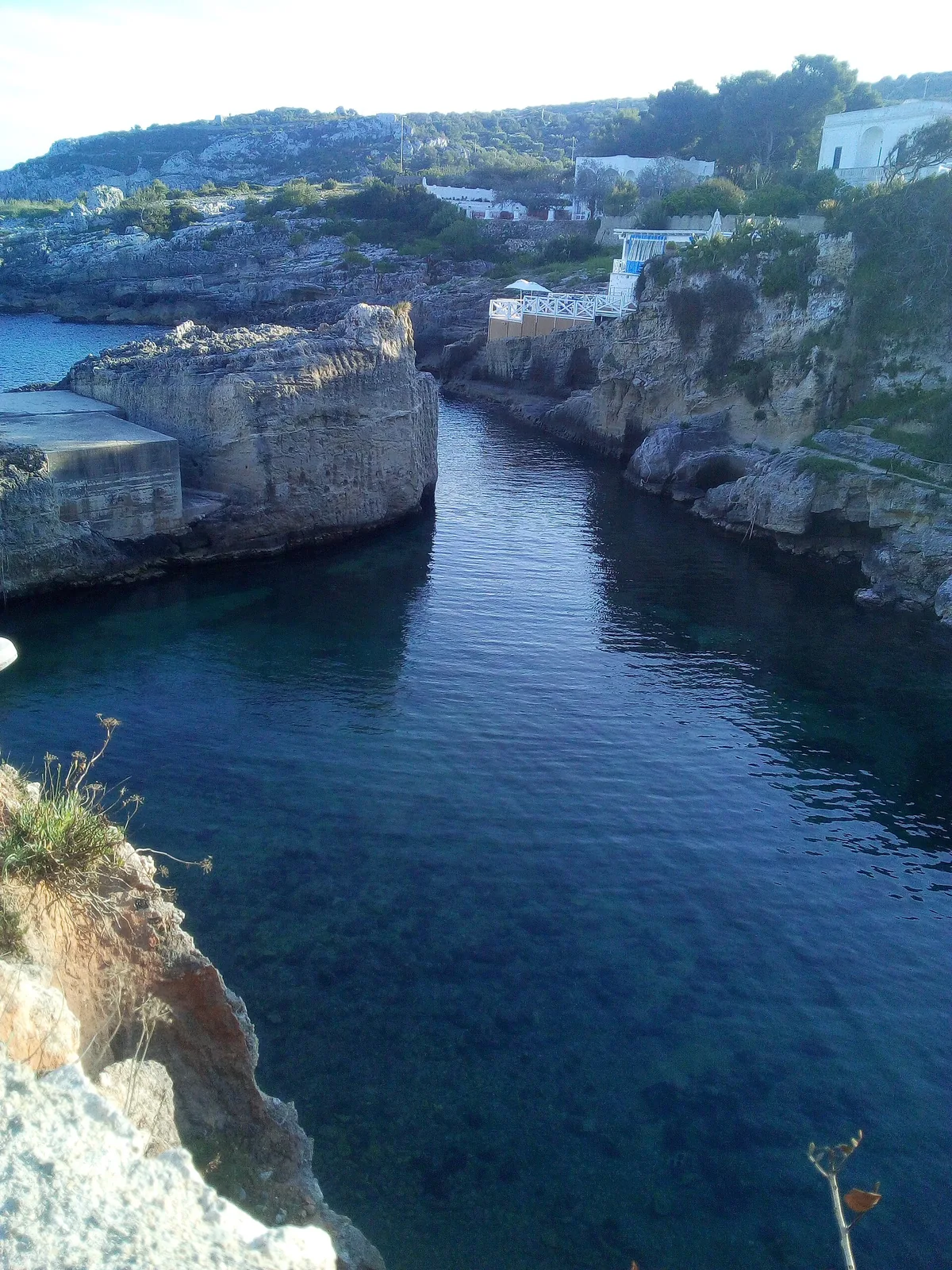
The beach at a glance
Small landing place in the rock between Corsano and Gagliano, with rocky shore, a little bay with some sand and caves to see by boat.
- Type of coast
- Rocks and cliffs
- Rocks 3,241 m
- Cliff 1,344 m
- Man-made 80 m
- Length
- 4,689 m
- Seafront
- 0 m free334 m leased to beach clubs
- Water quality
- Excellent · classification 2024
- Off season: latest samples of the 2026 season
- ARPA bathing areas:
- TORRE NOVAGLIEExcellentThu 9 Jul: within limits
- MARINA DI NOVAGLIEExcellentThu 9 Jul: within limits
- Protected area
- Parco naturale regionale Costa Otranto-S.Maria di Leuca e Bosco di Tricase
- Natura 2000 network
- ZSC Costa Otranto - Santa Maria di Leuca (IT9150002)
About the beach
Marina di Novaglie is a small landing place cut into the rock, where fishing boats and pleasure craft find shelter, on the rocky shore between Corsano and Gagliano del Capo. Past the fishermen's houses, some of which are now let to tourists, you can drive close to the sea. The stretch is almost five kilometres of rock and cliff, with no beach clubs.
The blue of the sea, which gets deep straight away, contrasts with the light blue over the rocks where the water is shallow. The easiest place to get into the water is the little bay with some sand between Punta Pizzo and Punta Rossa; otherwise rough paths lead to rocks to dive from. It is a favourite with snorkellers, and by boat you can reach the Grotta Azzurra, the Grotta dell'Elefante and the Grotta del Presepio. The coast is in the Costa Otranto-Santa Maria di Leuca e Bosco di Tricase regional nature park. It is part of the Costa Otranto - Santa Maria di Leuca Natura 2000 site.
There are car parks close to the sea. The coast faces east: with north (tramontana), south (ostro), south-west (libeccio), west (ponente) and north-west (maestrale) winds it is sheltered, with north-east (grecale), east (levante) and south-east (scirocco) winds the sea gets rough. On the rocks you will need water shoes.
On the map
Stretch of beach
Events nearby
In the coming days within 5 km.
No events within 5 km in the coming days.
Things to see nearby
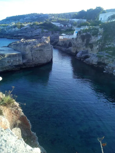 Sea and cavesMarina di NovaglieMarina di Novaglie belongs to three municipalities and is lapped by the
dark-blue sea, which foams on the cliffs and on the rocky walls of the
caves. Alessano very close
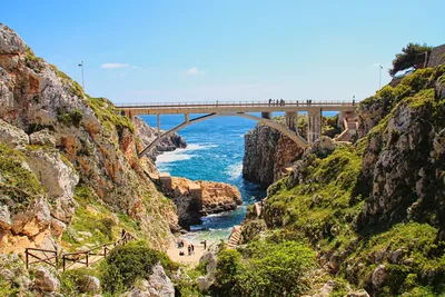 Sea and cavesCanale del CioloThe Ciolo fjord, which overlooks a wonderful landscape, keeps a small beach
and wonderful marine caves, washed by cobalt blue water. Gagliano del Capo 2.3 km away
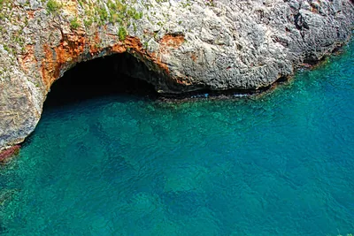 Sea and cavesGrotta Grande del Ciolo (or Bocca del Pozzo)The huge cave Grotta del Ciolo, a wonderful natural cave, keeps a nice
small lake with emerald reflections. Gagliano del Capo 2.3 km away
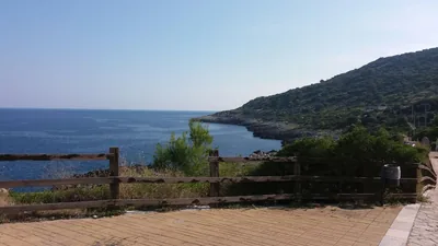 Sea and cavesFunnovojereAlong the “salt routes” it is possible to reach the locality Funnovojere,
which overlooks the blue Adriatic Sea with its rocky cliffs. Corsano 2.9 km away
Beaches nearby
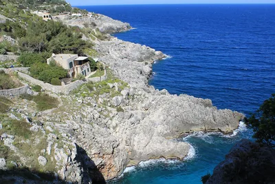 Rocks and cliffsCioloRocky gully running down to the sea below the coast road bridge, with a tiny cove and large sea caves.Free Excellent water Protected area Gagliano del Capo · Adriatic 2.3 km away
- Rocks and cliffsFunnovojereRugged rocky shore of Corsano with old salt pans in the rock, terraces of vines and olives and easy access at Chineddi and Sprunu.Free Excellent water Protected area Corsano · Adriatic 2.6 km away
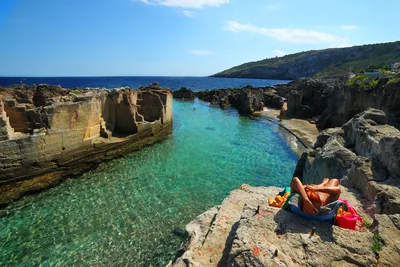 Rocks and cliffsMarina SerraWild rocky shore with a shallow natural pool, below the Torre di Palàne, as far as Torre Nasparo.Free Excellent water Blue Flag town Protected area Tricase · Adriatic 4.9 km away
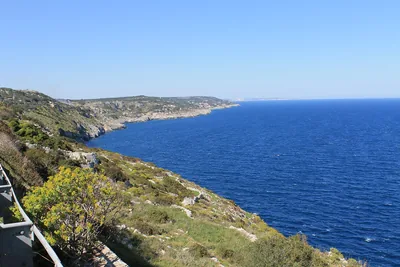 Rocks and cliffsLitorale di Gagliano del CapoAlmost five kilometres of cliffs between the Ciolo and Santa Maria di Leuca, with no beaches or beach clubs, in the coastal park.Free Excellent water Protected area Gagliano del Capo · Adriatic 5.3 km away
Sources and licences
The data comes from public sources; before swimming check the signs and the town’s bathing ordinances.
- ARPA Puglia – Monitoraggio delle acque di balneazione (CC BY 4.0)
- Regione Puglia – Aree di balneazione e classificazione 2024 (CC BY 4.0)
- Regione Puglia – Piano Regionale delle Coste (SIT Puglia) (CC BY 4.0)
- © OpenStreetMap contributors (ODbL 1.0)
- Regione Puglia – Ricognizione dei Piani comunali delle coste (A.D. 142/2025, SIT Puglia) (CC BY 4.0)
- Regione Puglia – Parchi e riserve naturali (rev. 11/2022) (CC BY 4.0)
- Regione Puglia – Perimetrazione dei siti Natura 2000 (12/2023) (CC BY 4.0)
- Wikimedia Commons (foto: autore e licenza su ogni foto) (CC0, PD, CC BY, CC BY-SA)
- salentosagreeventi.it – luoghi (foto e testi già pubblicati) (come indicato sulle foto)
- Wind forecast: MET Norway (CC BY 4.0).
- Photos: Tommasopaiano, CC BY-SA 4.0 · Wikimedia Commons
- Data updated: Sunday, 25 October 2026.