
Rocks and cliffs Excellent water Protected area
Litorale di Gagliano del Capo
Gagliano del Capo (LE)· Sea: Adriatic
The beach at a glance
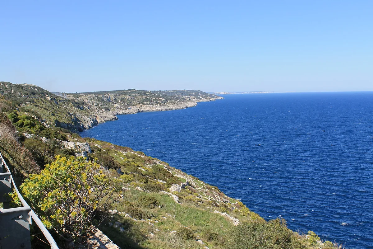
Almost five kilometres of cliffs between the Ciolo and Santa Maria di Leuca, with no beaches or beach clubs, in the coastal park.
- Type of coast
- Rocks and cliffs
- Cliff 4,807 m
- Length
- 4,807 m
- Water quality
- Excellent · classification 2024
- Off season: latest samples of the 2026 season
- ARPA bathing areas:
- MASSERIA CUCURUZZIExcellentThu 9 Jul: within limits
- MASSERIA PADULIExcellentThu 9 Jul: within limits
- Protected area
- Parco naturale regionale Costa Otranto-S.Maria di Leuca e Bosco di Tricase
- Natura 2000 network
- ZSC Costa Otranto - Santa Maria di Leuca (IT9150002)
About the beach
Between the Ciolo and Santa Maria di Leuca the coast of Gagliano del Capo is a long cliff almost five kilometres long, level with the Cucuruzzi and Paduli masserie. There are no beaches or beach clubs, and the stretch has no name of its own: it is high coast, where access to the sea is difficult and has to be sought on foot.
For a swim, about a kilometre to the north is the Ciolo gully, with its cove and caves; to the south, less than one and a half kilometres away, are the sanctuary of Santa Maria de Finibus Terrae, the monumental waterfall of the Acquedotto Pugliese and the Leuca lighthouse on Punta Meliso. On the cliff you will need suitable shoes and caution, and it is not a stretch for children. The coast is in the Costa Otranto-Santa Maria di Leuca e Bosco di Tricase regional nature park, where protection rules apply. It is part of the Costa Otranto - Santa Maria di Leuca Natura 2000 site.
The nearest car park is a few hundred metres from the coast. The cliff faces east: with north (tramontana), south (ostro), south-west (libeccio), west (ponente) and north-west (maestrale) winds the sea is calmer, with north-east (grecale), east (levante) and south-east (scirocco) winds it gets rough.
On the map
Stretch of beach
Events nearby
In the coming days within 5 km.
No events within 5 km in the coming days.
Things to see nearby
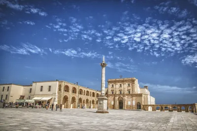 Churches and cryptsBasilica of Santa Maria de Finibus TerraeA fascinating sanctuary on the southernmost tip of the Salento, the
Basilica of Santa Maria di Finibus Terrae stands on the spectacular Capo di
Leuca promontory. Castrignano del Capo 2.9 km away
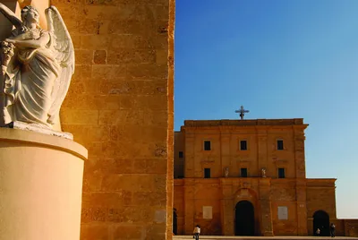 Museums and theatresMuseum in Salento - Museo Vito MeleBorn from the love of art by the sculptor Bito Mele, the Museum in Salento-
Museo Vito Mele in Castrignano del Capo is a treasure chest of work signed
by nationally renowned authors. Castrignano del Capo 2.9 km away
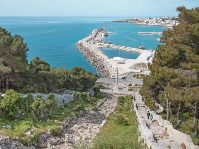 FunCascata monumentale dell’Acquedotto PugliesePuglia’s extreme tip is celebrated through a unique monument, overlooking
the exact spot where the land ends and the infinity of the sea begins. Castrignano del Capo 2.9 km away
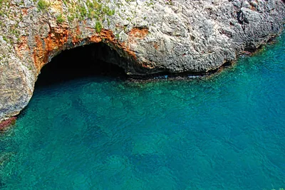 Sea and cavesGrotta Grande del Ciolo (or Bocca del Pozzo)The huge cave Grotta del Ciolo, a wonderful natural cave, keeps a nice
small lake with emerald reflections. Gagliano del Capo 3.1 km away
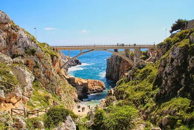 Sea and cavesCanale del CioloThe Ciolo fjord, which overlooks a wonderful landscape, keeps a small beach
and wonderful marine caves, washed by cobalt blue water. Gagliano del Capo 3.1 km away
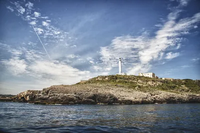 Castles, towers and palacesLighthouse of Santa Maria di LeucaAn appealing tower perched dropping sheer into the sea on Punta Meliso. Castrignano del Capo 3.1 km away
Beaches nearby
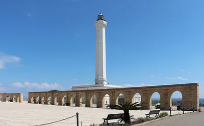 MixedPunta MelisoCoast of rocks and cliffs below the Leuca lighthouse, with no sand: you get into the water from the rock, in the coastal park.Free Excellent water Protected area Gagliano del Capo · Adriatic 2.6 km away
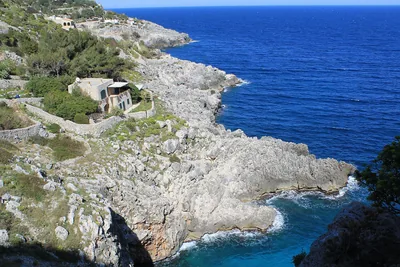 Rocks and cliffsCioloRocky gully running down to the sea below the coast road bridge, with a tiny cove and large sea caves.Free Excellent water Protected area Gagliano del Capo · Adriatic 3 km away
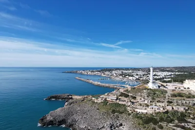 Rocks and cliffsSanta Maria di LeucaCrescent bay below the Leuca seafront: rocks, two small sandy beaches, the bagnarole and free stretches between the beach clubs.5 beach clubs Excellent water Natura 2000 Castrignano del Capo · Ionian 4.2 km away
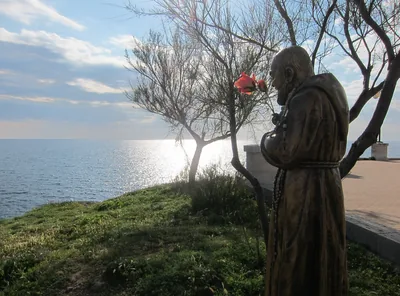 MixedPunta RistolaCoast of rocks and cliffs from Punta Ristola towards Torre Marchiello, with pale rock and sea caves: no sand and no beach clubs.Free Excellent water Natura 2000 Castrignano del Capo · Ionian 4.9 km away
Sources and licences
The data comes from public sources; before swimming check the signs and the town’s bathing ordinances.
- ARPA Puglia – Monitoraggio delle acque di balneazione (CC BY 4.0)
- Regione Puglia – Aree di balneazione e classificazione 2024 (CC BY 4.0)
- Regione Puglia – Piano Regionale delle Coste (SIT Puglia) (CC BY 4.0)
- © OpenStreetMap contributors (ODbL 1.0)
- Regione Puglia – Parchi e riserve naturali (rev. 11/2022) (CC BY 4.0)
- Regione Puglia – Perimetrazione dei siti Natura 2000 (12/2023) (CC BY 4.0)
- Wikimedia Commons (foto: autore e licenza su ogni foto) (CC0, PD, CC BY, CC BY-SA)
- Wind forecast: MET Norway (CC BY 4.0).
- Photos: Patrick Nouhailler's…, CC BY-SA 3.0 · Wikimedia Commons
- Photos: Patrick Nouhailler's…, CC BY-SA 3.0 · Wikimedia Commons
- Photos: Patrick Nouhailler's…, CC BY-SA 3.0 · Wikimedia Commons
- Data updated: Sunday, 25 October 2026.