
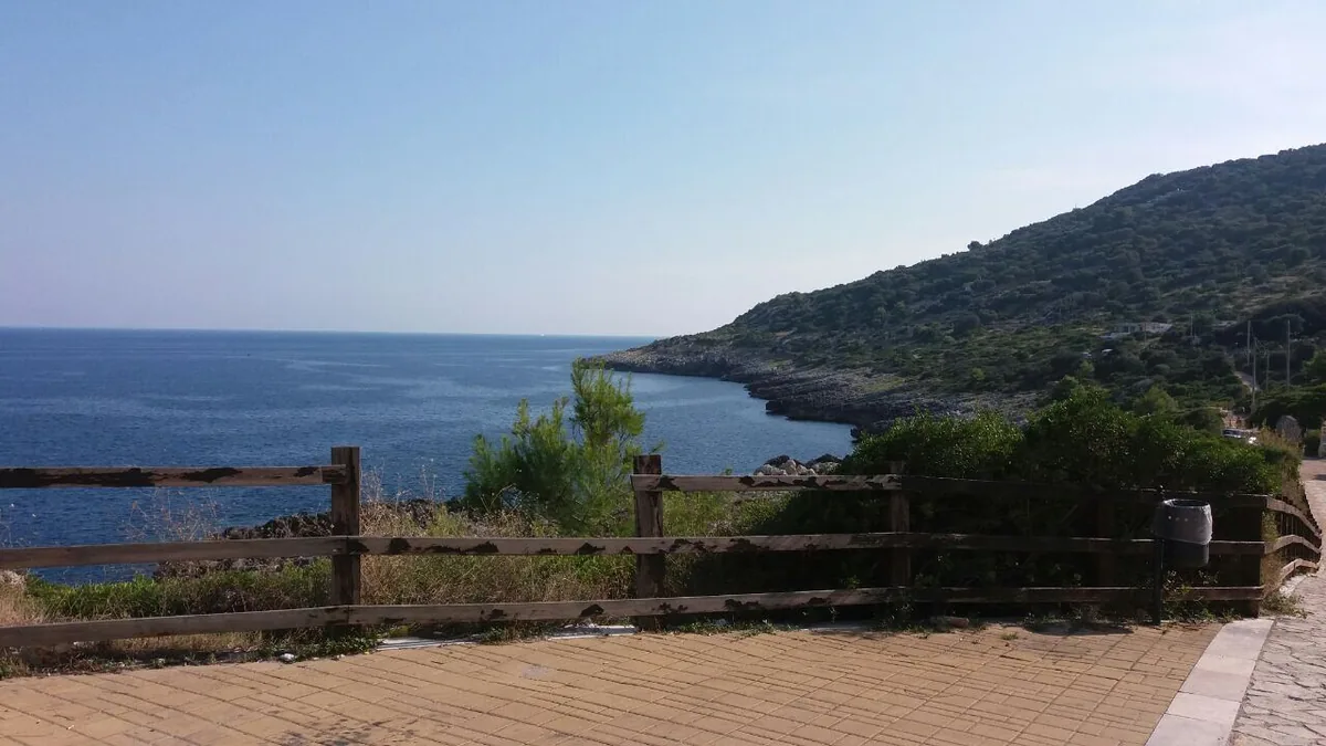
The beach at a glance
Rugged rocky shore of Corsano with old salt pans in the rock, terraces of vines and olives and easy access at Chineddi and Sprunu.
- Type of coast
- Rocks and cliffs
- Rocks 2,663 m
- Length
- 2,663 m
- Water quality
- Excellent · classification 2024
- Off season: latest samples of the 2026 season
- Latest samples:
- Thu 9 Jul: within limits
- Thu 11 Jun: within limits
- Thu 14 May: within limits
- Sun 19 Apr: within limits
- Protected area
- Parco naturale regionale Costa Otranto-S.Maria di Leuca e Bosco di Tricase
- Natura 2000 network
- ZSC Costa Otranto - Santa Maria di Leuca (IT9150002)
About the beach
Funnovojere, in the municipality of Corsano, is a rugged rocky coast over two and a half kilometres long, with no sand and no beach clubs, overlooking a clear blue sea. You reach the sea along the 'vie del sale' (salt roads), among terraces of vines and olive trees and the natural walls of the ridge covered in Mediterranean scrub.
On the rock you can still see the historic salt pans, worked by the 'scalcagnati', the labourers who gathered the white gold. Families with children prefer the Chineddi and Sprunu areas, where access to the sea is easy even for people with reduced mobility; the boldest choose Monte Monaco. On the rocks you will need water shoes. It is part of the Costa Otranto - Santa Maria di Leuca Natura 2000 site.
There are few car parks near the coast. The coast faces east: with north (tramontana), south (ostro), south-west (libeccio), west (ponente) and north-west (maestrale) winds it is sheltered, with north-east (grecale), east (levante) and south-east (scirocco) winds the sea gets rough.
On the map
Stretch of beach
Events nearby
In the coming days within 5 km.
No events within 5 km in the coming days.
Things to see nearby
 Sea and cavesFunnovojereAlong the “salt routes” it is possible to reach the locality Funnovojere,
which overlooks the blue Adriatic Sea with its rocky cliffs. Corsano very close
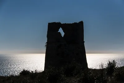 Sea and cavesMarina di Tiggiano - Torre NasparoThe marina of Torre Nasparo is a balcony in front of the Adriatic sea,
watched by an ancient Spanish tower. Tiggiano 2.1 km away
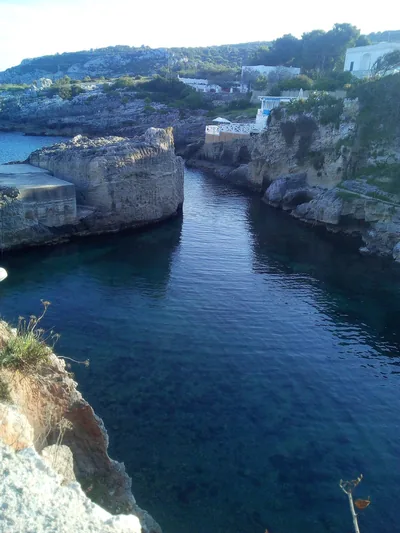 Sea and cavesMarina di NovaglieMarina di Novaglie belongs to three municipalities and is lapped by the
dark-blue sea, which foams on the cliffs and on the rocky walls of the
caves. Alessano 2.8 km away
Beaches nearby
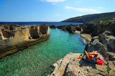 Rocks and cliffsMarina SerraWild rocky shore with a shallow natural pool, below the Torre di Palàne, as far as Torre Nasparo.Free Excellent water Blue Flag town Protected area Tricase · Adriatic 2.4 km away
- Rocks and cliffsMarina di NovaglieSmall landing place in the rock between Corsano and Gagliano, with rocky shore, a little bay with some sand and caves to see by boat.Beach clubs Excellent water Protected area Corsano, Gagliano del Capo · Adriatic 2.6 km away
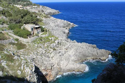 Rocks and cliffsCioloRocky gully running down to the sea below the coast road bridge, with a tiny cove and large sea caves.Free Excellent water Protected area Gagliano del Capo · Adriatic 4.9 km away
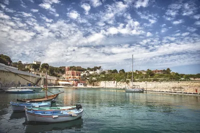 Rocks and cliffsTricase PortoLow rocky coast with caves and coves, two small harbours and an islet a few strokes away, from the Serra del Mito to San Nicola.Free Excellent water Blue Flag town Protected area Tricase · Adriatic 5.8 km away
Sources and licences
The data comes from public sources; before swimming check the signs and the town’s bathing ordinances.
- ARPA Puglia – Monitoraggio delle acque di balneazione (CC BY 4.0)
- Regione Puglia – Aree di balneazione e classificazione 2024 (CC BY 4.0)
- Regione Puglia – Piano Regionale delle Coste (SIT Puglia) (CC BY 4.0)
- © OpenStreetMap contributors (ODbL 1.0)
- Regione Puglia – Parchi e riserve naturali (rev. 11/2022) (CC BY 4.0)
- Regione Puglia – Perimetrazione dei siti Natura 2000 (12/2023) (CC BY 4.0)
- salentosagreeventi.it – luoghi (foto e testi già pubblicati) (come indicato sulle foto)
- Wind forecast: MET Norway (CC BY 4.0).
- Photos: Gbrc · Regione Puglia
- Data updated: Sunday, 25 October 2026.