
Rocks and cliffs Blue Flag town Excellent water Protected area
Marina Serra
Tricase (LE)· Sea: Adriatic
The beach at a glance
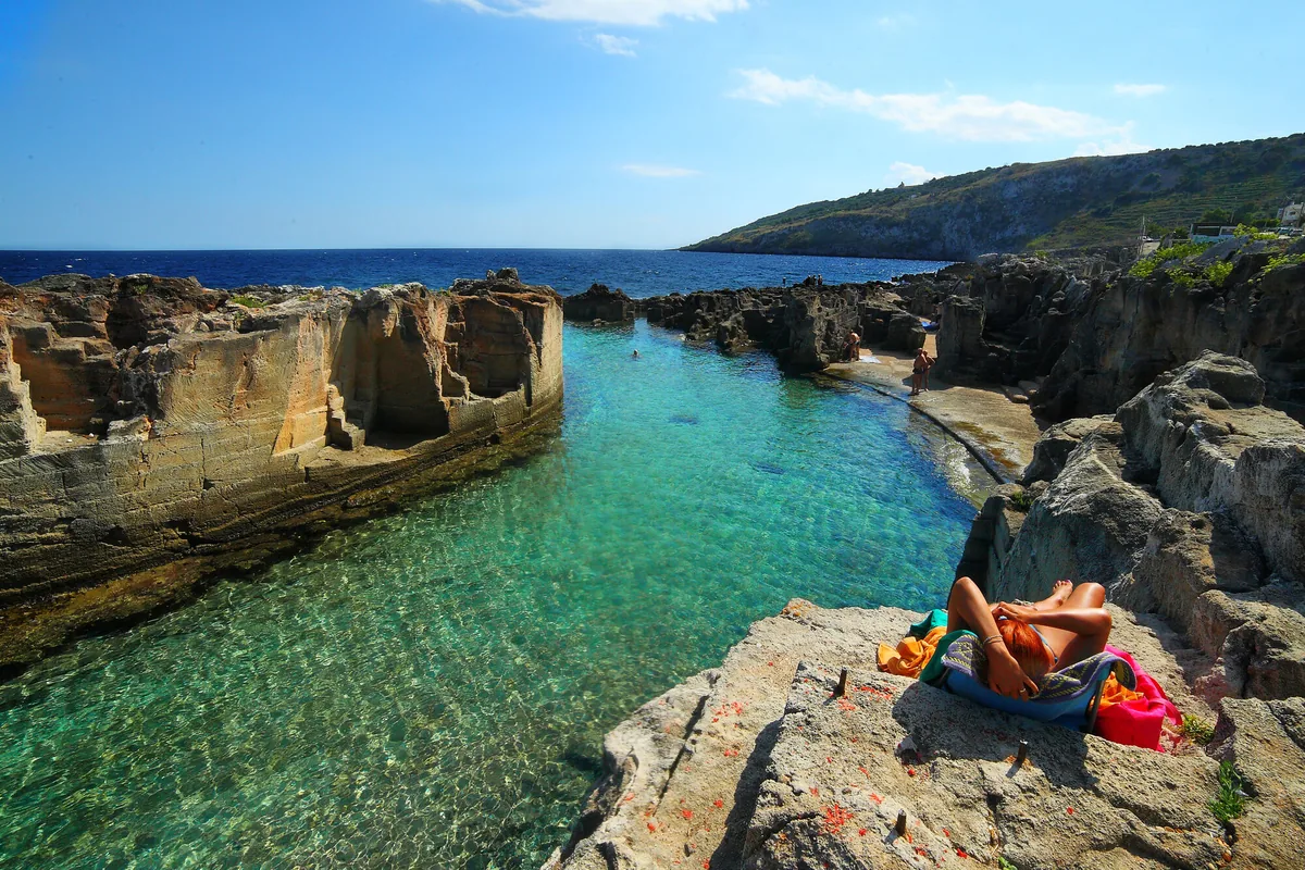
Wild rocky shore with a shallow natural pool, below the Torre di Palàne, as far as Torre Nasparo.
- Type of coast
- Rocks and cliffs
- Rocks 3,290 m
- Man-made 51 m
- Length
- 3,341 m
- Seafront
- 459 m free0 m leased to beach clubs
- Water quality
- Excellent · classification 2024
- Off season: latest samples of the 2026 season
- Latest samples:
- Thu 9 Jul: within limits
- Thu 11 Jun: within limits
- Thu 14 May: within limits
- Sun 19 Apr: within limits
- Blue Flag town
- Tricase has the Blue Flag this year
- Protected area
- Parco naturale regionale Costa Otranto-S.Maria di Leuca e Bosco di Tricase
- Natura 2000 network
- ZSC Costa Otranto - Santa Maria di Leuca (IT9150002)
About the beach
Marina Serra is a rocky coast over three kilometres long, overlooked by the 16th-century Torre di Palàne, which to the south reaches the seaside district of Tiggiano, below Torre Nasparo. There is no sand: you stay on the rock, so you will need water shoes. Almost the whole beachfront is free.
The best-known spot is the natural pool between the rock walls: the water is shallow and the way down is easy. Nearby there are caves that can only be reached by swimming, such as the Grotta Matrona, a collapse cave shaped by the waves, about 500 square metres in size. Towards Torre Nasparo, a Spanish tower from the late 16th century 126 metres above the sea, the rocky shore becomes more rugged and the ways into the sea less easy. The coast is in the Costa Otranto-Santa Maria di Leuca e Bosco di Tricase regional nature park. It is part of the Costa Otranto - Santa Maria di Leuca Natura 2000 site.
The first car park is a few steps from the sea. The coast faces east: with north (tramontana), south (ostro), south-west (libeccio), west (ponente) and north-west (maestrale) winds it is sheltered, with north-east (grecale), east (levante) and south-east (scirocco) winds the sea gets rough. Tricase is a Blue Flag municipality.
On the map
Stretch of beach
Events nearby
In the coming days within 5 km.
Yuts And Culture
Yuts and Culture in concert: funk and soul of the '70s reimagined.
Tricase Nobilissima
A guided tour through Palazzo Gallone, the Matrice Church, and the ancient streets of Tricase
Salento International Film Festival 2026
International independent cinema in the heart of Salento
Things to see nearby
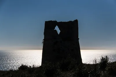 Sea and cavesMarina di Tiggiano - Torre NasparoThe marina of Torre Nasparo is a balcony in front of the Adriatic sea,
watched by an ancient Spanish tower. Tiggiano very close
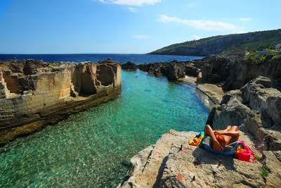 Sea and cavesMarina SerraMarina Serra, surrounded by cliffs, marine caves and small fjords, boasts a
natural pool nestled amid the rocks, with crystal clear water. Tricase very close
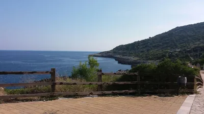 Sea and cavesFunnovojereAlong the “salt routes” it is possible to reach the locality Funnovojere,
which overlooks the blue Adriatic Sea with its rocky cliffs. Corsano 2.1 km away
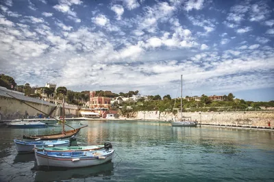 Sea and cavesTricase PortoTricase Porto, with its caves and small bays, the small island and the
beautiful cliffs, is the perfect place to discover by boat the coastline of
Capo di Leuca. Tricase 2.5 km away
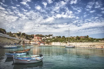 Sea and cavesPorticciolo di Marina di Porto - TricaseThe Marina di Porto harbor in Tricase features a surfaced, banked-out mooring, a banked-out section of shoreline and an internal dock. Tricase 2.8 km away
- Museums and theatresThe permanent cultural centre on sea ancient traditionsFounded and run by the association Magna Grecia Mare, is the centre of many cultural initiatives. Tricase 2.8 km away
Beaches nearby
- Rocks and cliffsFunnovojereRugged rocky shore of Corsano with old salt pans in the rock, terraces of vines and olives and easy access at Chineddi and Sprunu.Free Excellent water Protected area Corsano · Adriatic 2.4 km away
- Rocks and cliffsTricase PortoLow rocky coast with caves and coves, two small harbours and an islet a few strokes away, from the Serra del Mito to San Nicola.Free Excellent water Blue Flag town Protected area Tricase · Adriatic 3.6 km away
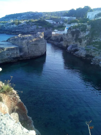 Rocks and cliffsMarina di NovaglieSmall landing place in the rock between Corsano and Gagliano, with rocky shore, a little bay with some sand and caves to see by boat.Beach clubs Excellent water Protected area Corsano, Gagliano del Capo · Adriatic 4.9 km away
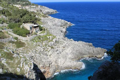 Rocks and cliffsCioloRocky gully running down to the sea below the coast road bridge, with a tiny cove and large sea caves.Free Excellent water Protected area Gagliano del Capo · Adriatic 7.1 km away
Sources and licences
The data comes from public sources; before swimming check the signs and the town’s bathing ordinances.
- ARPA Puglia – Monitoraggio delle acque di balneazione (CC BY 4.0)
- Regione Puglia – Aree di balneazione e classificazione 2024 (CC BY 4.0)
- Regione Puglia – Piano Regionale delle Coste (SIT Puglia) (CC BY 4.0)
- © OpenStreetMap contributors (ODbL 1.0)
- Regione Puglia – Ricognizione dei Piani comunali delle coste (A.D. 142/2025, SIT Puglia) (CC BY 4.0)
- Regione Puglia – Parchi e riserve naturali (rev. 11/2022) (CC BY 4.0)
- Regione Puglia – Perimetrazione dei siti Natura 2000 (12/2023) (CC BY 4.0)
- Wikimedia Commons (foto: autore e licenza su ogni foto) (CC0, PD, CC BY, CC BY-SA)
- salentosagreeventi.it – luoghi (foto e testi già pubblicati) (come indicato sulle foto)
- FEE Italia – Bandiera Blu 2026 (dato pubblico (elenco dei comuni premiati))
- Wind forecast: MET Norway (CC BY 4.0).
- Photos: Roberto Rocca · Regione Puglia
- Photos: Paolo Laku · Regione Puglia
- Photos: Falk2, CC BY-SA 4.0 · Wikimedia Commons
- Photos: Falk2, CC BY-SA 4.0 · Wikimedia Commons
- Photos: Falk2, CC BY-SA 4.0 · Wikimedia Commons
- Photos: Yoyonuka, CC BY-SA 4.0 · Wikimedia Commons
- Photos: Yoyonuka, CC BY-SA 4.0 · Wikimedia Commons
- Photos: Yoyonuka, CC BY-SA 4.0 · Wikimedia Commons
- Photos: Yoyonuka, CC BY-SA 4.0 · Wikimedia Commons
- Photos: Yoyonuka, CC BY-SA 4.0 · Wikimedia Commons
- Data updated: Sunday, 25 October 2026.