
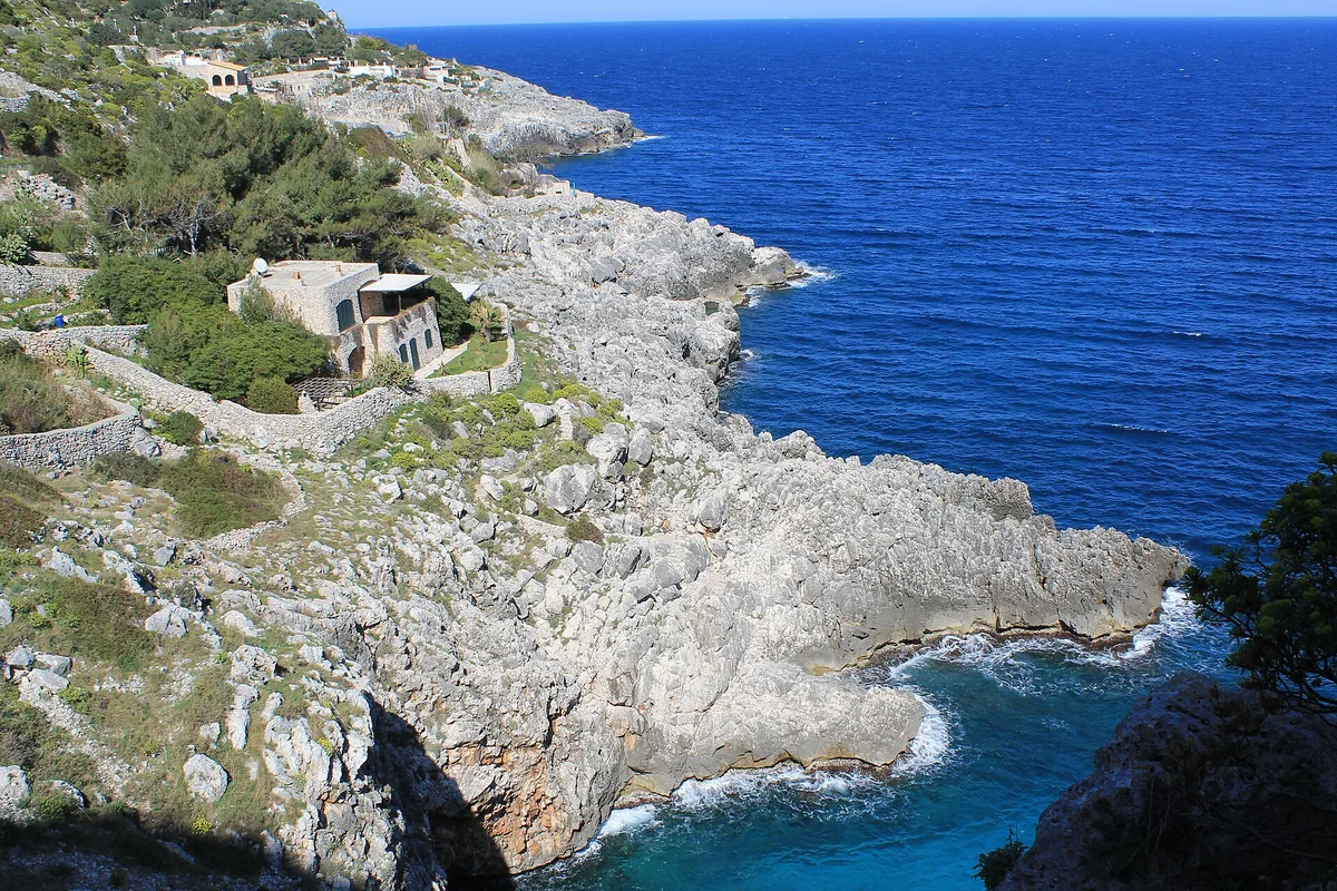
The beach at a glance
Rocky gully running down to the sea below the coast road bridge, with a tiny cove and large sea caves.
- Type of coast
- Rocks and cliffs
- Rocks 1,987 m
- Cliff 1,230 m
- Length
- 3,217 m
- Seafront
- 188 m free0 m leased to beach clubs
- Water quality
- Excellent · classification 2024
- Off season: latest samples of the 2026 season
- Latest samples:
- Thu 9 Jul: within limits
- Thu 11 Jun: within limits
- Thu 14 May: within limits
- Sun 19 Apr: within limits
- Protected area
- Parco naturale regionale Costa Otranto-S.Maria di Leuca e Bosco di Tricase
- Natura 2000 network
- ZSC Costa Otranto - Santa Maria di Leuca (IT9150002)
About the beach
The Ciolo is a small canyon that runs down to the cobalt-blue sea, in the municipality of Gagliano del Capo; the name comes from the 'ciole', the crows that circle over the rocky ridges. At the bottom is a tiny cove, a few metres wide, used by fishermen as a landing: the shore is partly concreted over and the seabed, sandy at first, becomes very deep after a few strokes. There are no beach clubs.
The most experienced divers leap from the coast road bridge, over thirty metres high. A few hundred metres away opens the Grotta Grande del Ciolo, with an entrance more than thirty metres high and, inside, a small freshwater lake with emerald reflections; on the other side of the fjord is the Grotta Piccola, flooded and accessible from the sea. You will need water shoes and it is not a place for small children. The area is in the Costa Otranto-Santa Maria di Leuca e Bosco di Tricase regional nature park. It is part of the Costa Otranto - Santa Maria di Leuca Natura 2000 site.
There are car parks nearby. The coast faces east: with north (tramontana), south (ostro), south-west (libeccio), west (ponente) and north-west (maestrale) winds it is sheltered, with north-east (grecale), east (levante) and south-east (scirocco) winds the sea gets rough.
On the map
Stretch of beach
Events nearby
In the coming days within 5 km.
No events within 5 km in the coming days.
Things to see nearby
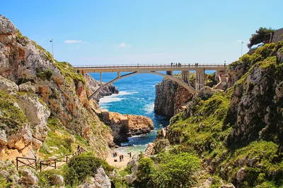 Sea and cavesCanale del CioloThe Ciolo fjord, which overlooks a wonderful landscape, keeps a small beach
and wonderful marine caves, washed by cobalt blue water. Gagliano del Capo very close
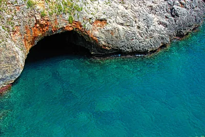 Sea and cavesGrotta Grande del Ciolo (or Bocca del Pozzo)The huge cave Grotta del Ciolo, a wonderful natural cave, keeps a nice
small lake with emerald reflections. Gagliano del Capo very close
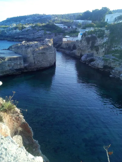 Sea and cavesMarina di NovaglieMarina di Novaglie belongs to three municipalities and is lapped by the
dark-blue sea, which foams on the cliffs and on the rocky walls of the
caves. Alessano 2.1 km away
Beaches nearby
- Rocks and cliffsMarina di NovaglieSmall landing place in the rock between Corsano and Gagliano, with rocky shore, a little bay with some sand and caves to see by boat.Beach clubs Excellent water Protected area Corsano, Gagliano del Capo · Adriatic 2.3 km away
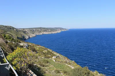 Rocks and cliffsLitorale di Gagliano del CapoAlmost five kilometres of cliffs between the Ciolo and Santa Maria di Leuca, with no beaches or beach clubs, in the coastal park.Free Excellent water Protected area Gagliano del Capo · Adriatic 3 km away
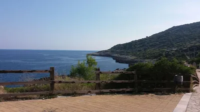 Rocks and cliffsFunnovojereRugged rocky shore of Corsano with old salt pans in the rock, terraces of vines and olives and easy access at Chineddi and Sprunu.Free Excellent water Protected area Corsano · Adriatic 4.9 km away
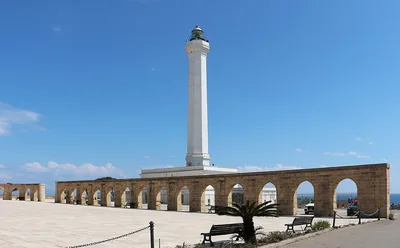 MixedPunta MelisoCoast of rocks and cliffs below the Leuca lighthouse, with no sand: you get into the water from the rock, in the coastal park.Free Excellent water Protected area Gagliano del Capo · Adriatic 5.3 km away
Sources and licences
The data comes from public sources; before swimming check the signs and the town’s bathing ordinances.
- ARPA Puglia – Monitoraggio delle acque di balneazione (CC BY 4.0)
- Regione Puglia – Aree di balneazione e classificazione 2024 (CC BY 4.0)
- Regione Puglia – Piano Regionale delle Coste (SIT Puglia) (CC BY 4.0)
- © OpenStreetMap contributors (ODbL 1.0)
- Regione Puglia – Ricognizione dei Piani comunali delle coste (A.D. 142/2025, SIT Puglia) (CC BY 4.0)
- Regione Puglia – Parchi e riserve naturali (rev. 11/2022) (CC BY 4.0)
- Regione Puglia – Perimetrazione dei siti Natura 2000 (12/2023) (CC BY 4.0)
- Wikimedia Commons (foto: autore e licenza su ogni foto) (CC0, PD, CC BY, CC BY-SA)
- Wind forecast: MET Norway (CC BY 4.0).
- Photos: Patrick Nouhailler's…, CC BY-SA 3.0 · Wikimedia Commons
- Photos: Patrick Nouhailler's…, CC BY-SA 3.0 · Wikimedia Commons
- Photos: Patrick Nouhailler's…, CC BY-SA 3.0 · Wikimedia Commons
- Photos: Patrick Nouhailler's…, CC BY-SA 3.0 · Wikimedia Commons
- Photos: Patrick Nouhailler's…, CC BY-SA 3.0 · Wikimedia Commons
- Photos: Patrick Nouhailler's…, CC BY-SA 3.0 · Wikimedia Commons
- Photos: Falk2, CC BY-SA 4.0 · Wikimedia Commons
- Photos: Annalisa Masella, CC BY-SA 4.0 · Wikimedia Commons
- Photos: Patrick Nouhailler's…, CC BY-SA 3.0 · Wikimedia Commons
- Photos: Patrick Nouhailler's…, CC BY-SA 3.0 · Wikimedia Commons
- Data updated: Sunday, 25 October 2026.