
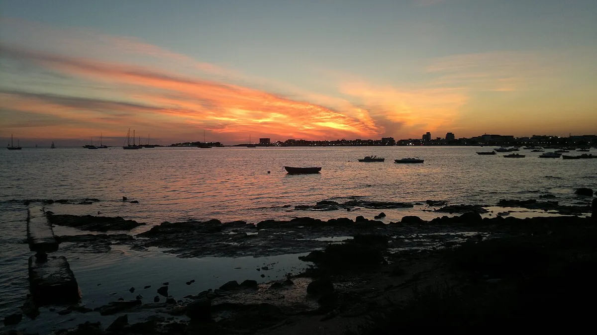
The beach at a glance
Peninsula of sand and low rocks closing off the port of Porto Cesareo to the south, with free stretches and shallow water.
- Type of coast
- Sand
- Sand 510 m
- Rocks 134 m
- Length
- 644 m
- Seafront
- 100% free
- 644 m free0 m leased to beach clubs
- Water quality
- Excellent · classification 2024
- Off season: latest samples of the 2026 season
- ARPA bathing areas:
- PUNTA LIDO LA STREAExcellentWed 15 Jul: within limits
- LIDO LA STREAExcellentThu 16 Jul: within limits
- LIDO LA STREA-STRADA PANORAMICAExcellentThu 16 Jul: within limits
- Protected area
- Area marina protetta Porto Cesareo
- Natura 2000 network
- ZPS Porto Cesareo (IT9150042)
- Coastal erosion
- medium
About the beach
La Strea is the tongue of land that closes off the inlet of Porto Cesareo to the south and shelters the port. Around the peninsula about five hundred metres of sand alternate with stretches of low rocks and quays; in our data the sandy beachfront is free, with no beach clubs. The seabed is sandy and shallow, suitable for children, and the beach is recommended for families. On the rocks it is best to have water shoes.
The peninsula is part of the Palude del Conte e Duna Costiera nature reserve, which also includes the islets off the town such as the Isola dei Conigli, and the sea is in the Porto Cesareo marine protected area, where rules on anchoring and fishing apply. Less than a kilometre away are Torre Cesarea, a large square 16th-century tower, and the small harbour with its colourful boats and fish market. The beach is subject to erosion.
The nearest car park is about half a kilometre away. The coast faces west: with north (tramontana), north-east (grecale), east (levante), south-east (scirocco) and south (ostro) winds it is sheltered, with south-west (libeccio), west (ponente) and north-west (maestrale) winds the sea gets rough. It is part of the Porto Cesareo Natura 2000 site.
On the map
Stretch of beach
Events nearby
In the coming days within 5 km.
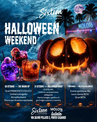
Halloween Weekend at Sixteen Aperifood: Three Days of Music and Horror Vibes
Three days of DJ sets, themed cocktails, and horror vibes for Halloween.
Things to see nearby
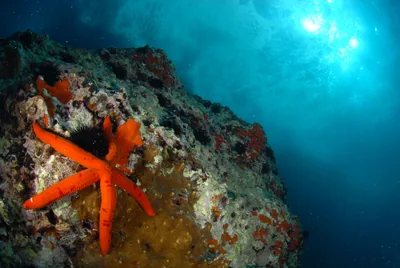 Sea and cavesProtected Marine Area of Porto CesareoWith its crystalline, turquoise waters stretching from Punta Prosciutto to
Torre Inserraglio, Porto Cesareo boasts Italy's third largest protected
marine area. Porto Cesareo 1 km away
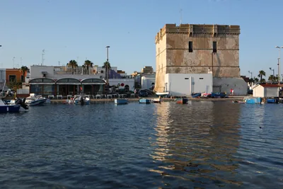 Castles, towers and palacesTorre CesareaWith a quadrangular shape, Torre Cesarea erected in about 1500 to defend
the coast from continued attacks from the sea. Porto Cesareo 1 km away
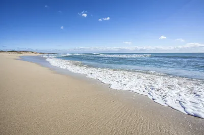 Sea and cavesPorto Cesareo and Isola dei ConigliSoft and fine sand, Caribbean sea and a small island to discover: the
beaches of Porto Cesareo overlook the crystal clear Ionian Sea. Porto Cesareo 1 km away
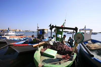 Sea and cavesPorto CesareoPorto Cesareo is a natural inlet, protected on the south side by the La Strega peninsula. Porto Cesareo 1.2 km away
- Museums and theatresMuseum of Marine BiologyWith more than 900 exhibits, the Parenzan Museum of Marine Biology in Porto Cesareo allows visitors to dive into the fascinating underwater world, discovering marine flora and fauna. Porto Cesareo 1.3 km away
Beaches nearby
- SandPorto CesareoThe town on the sea, with small stretches of sand between rocks and quays and the Isola dei Conigli a few strokes away, in the protected area.Free · beach clubs Excellent water Protected area Porto Cesareo · Ionian very close
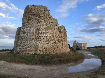 SandTorre Chianca – Scala di FurnoSmall sandy bays and low rocks between Porto Cesareo and Torre Lapillo, with shallow water and the sunken Roman columns.Free · 6 beach clubs Excellent water Protected area Porto Cesareo · Ionian 2.3 km away
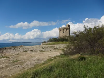 Rocks and cliffsTorre SquillaceCoast of low rocks with a little white sandy beach near the road, between Sant'Isidoro and Porto Cesareo, in the protected area.1 beach club Excellent water Blue Flag town Protected area Nardò · Ionian 2.9 km away
 SandSant'IsidoroInlet of very fine sand with shallow water, sheltered by an islet, among rocks and a tower, in the marine protected area.Free · 1 beach club Excellent water Blue Flag town Protected area Nardò · Ionian 4.7 km away
Sources and licences
The data comes from public sources; before swimming check the signs and the town’s bathing ordinances.
- ARPA Puglia – Monitoraggio delle acque di balneazione (CC BY 4.0)
- Regione Puglia – Aree di balneazione e classificazione 2024 (CC BY 4.0)
- Regione Puglia – Piano Regionale delle Coste (SIT Puglia) (CC BY 4.0)
- © OpenStreetMap contributors (ODbL 1.0)
- Regione Puglia – Ricognizione dei Piani comunali delle coste (A.D. 142/2025, SIT Puglia) (CC BY 4.0)
- Regione Puglia – Parchi e riserve naturali (rev. 11/2022) (CC BY 4.0)
- Regione Puglia – Perimetrazione dei siti Natura 2000 (12/2023) (CC BY 4.0)
- Wikimedia Commons (foto: autore e licenza su ogni foto) (CC0, PD, CC BY, CC BY-SA)
- Wind forecast: MET Norway (CC BY 4.0).
- Photos: nega arts, CC BY-SA 3.0 · Wikimedia Commons
- Data updated: Sunday, 25 October 2026.