
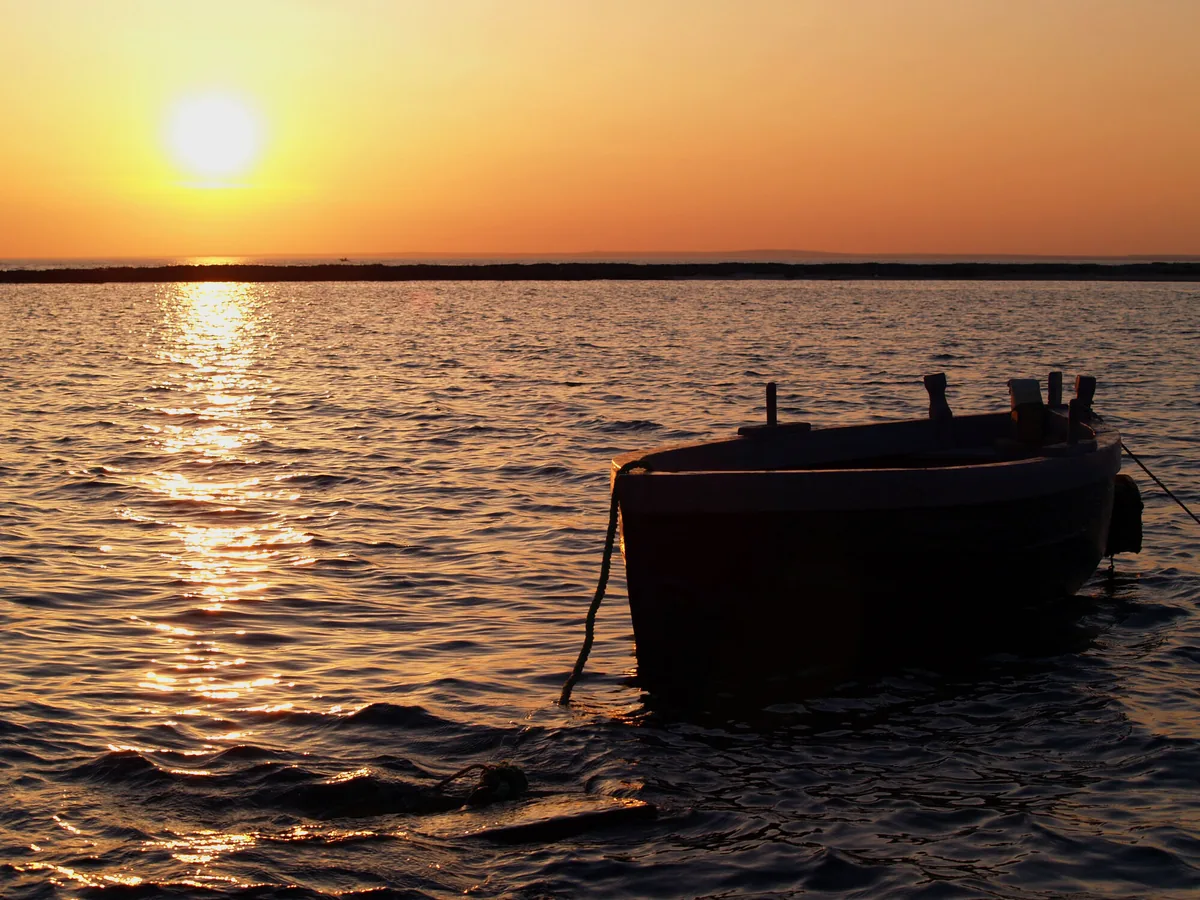
The beach at a glance
Inlet of very fine sand with shallow water, sheltered by an islet, among rocks and a tower, in the marine protected area.
- Type of coast
- Sand
- Sand 568 m
- Rocks 205 m
- Man-made 163 m
- Length
- 936 m
- Seafront
- 75% free
- 672 m free220 m leased to beach clubs
- Water quality
- Excellent · classification 2024
- Off season: latest samples of the 2026 season
- Latest samples:
- Wed 15 Jul: within limits
- Wed 17 Jun: within limits
- Wed 20 May: within limits
- Wed 22 Apr: within limits
- Blue Flag town
- Nardò has the Blue Flag this year
- Protected area
- Area marina protetta Porto Cesareo
- Natura 2000 network
- ZPS Porto Cesareo (IT9150042)
About the beach
Sant'Isidoro is a bay of very fine sand on the Nardò coast, between a small village and a holiday village. Around it the coast is rocky and partly artificial; the sand covers just over half a kilometre, largely free, with one beach club. The water is shallow, suitable for children and for those who cannot swim, and in summer the beach is very busy.
A small islet in front of the bay shelters it and can be reached by swimming. The sea is fed by spring water rising from the karst underground. On the coast stands the tower of Sant'Isidoro, a square-based watchtower that communicated with Torre Squillace. The whole bay is in the Porto Cesareo marine protected area, where rules on anchoring and fishing apply.
The nearest car park is a few steps away. Nardò is a Blue Flag municipality. The bay faces west: with north (tramontana), north-east (grecale), east (levante), south-east (scirocco) and south (ostro) winds it is sheltered, with south-west (libeccio), west (ponente) and north-west (maestrale) winds the sea gets rough. It is part of the Porto Cesareo Natura 2000 site.
On the map
Stretch of beachBeach club
Beach clubs
On this stretch of beach or less than 300 m away.
Lido L'Oasi
Bar
Events nearby
In the coming days within 5 km.
No events within 5 km in the coming days.
Things to see nearby
 Sea and cavesSant'IsidoroThe beautiful bay of Sant’Isidoro, inside a marine protected area, offers
really fine sand, a transparent sea and a small island, which can be
reached swimming. Nardò very close
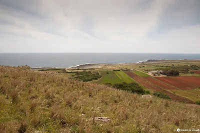 Sea and cavesSerra CicoraThe low cliff, wild and primitive, in the heart of the Regional Park “Porto
Selvaggio e Palude del Capitano. Nardò 1.8 km away
Beaches nearby
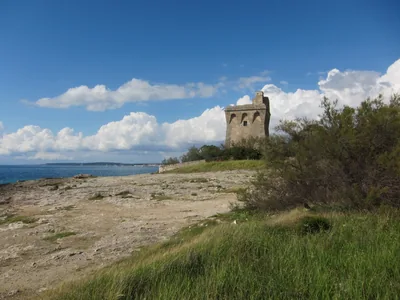 Rocks and cliffsTorre SquillaceCoast of low rocks with a little white sandy beach near the road, between Sant'Isidoro and Porto Cesareo, in the protected area.1 beach club Excellent water Blue Flag town Protected area Nardò · Ionian 1.8 km away
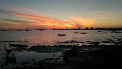 SandSpiaggia della StreaPeninsula of sand and low rocks closing off the port of Porto Cesareo to the south, with free stretches and shallow water.Free Excellent water Protected area Porto Cesareo · Ionian 4.7 km away
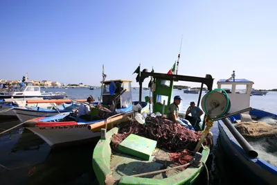 SandPorto CesareoThe town on the sea, with small stretches of sand between rocks and quays and the Isola dei Conigli a few strokes away, in the protected area.Free · beach clubs Excellent water Protected area Porto Cesareo · Ionian 5.3 km away
- Rocks and cliffsSerra CicoraLong, low and rugged rocky shore between Torre Uluzzo and Torre Inserraglio, hard to reach, in the Porto Selvaggio park.1 beach club Excellent water Blue Flag town Protected area Nardò · Ionian 5.8 km away
Sources and licences
The data comes from public sources; before swimming check the signs and the town’s bathing ordinances.
- ARPA Puglia – Monitoraggio delle acque di balneazione (CC BY 4.0)
- Regione Puglia – Aree di balneazione e classificazione 2024 (CC BY 4.0)
- Regione Puglia – Piano Regionale delle Coste (SIT Puglia) (CC BY 4.0)
- © OpenStreetMap contributors (ODbL 1.0)
- Regione Puglia – Ricognizione dei Piani comunali delle coste (A.D. 142/2025, SIT Puglia) (CC BY 4.0)
- Regione Puglia – Parchi e riserve naturali (rev. 11/2022) (CC BY 4.0)
- Regione Puglia – Perimetrazione dei siti Natura 2000 (12/2023) (CC BY 4.0)
- Pugliapromozione – DMS Puglia, open data (stabilimenti balneari, luoghi di interesse) (CC BY 4.0)
- Wikimedia Commons (foto: autore e licenza su ogni foto) (CC0, PD, CC BY, CC BY-SA)
- salentosagreeventi.it – luoghi (foto e testi già pubblicati) (come indicato sulle foto)
- FEE Italia – Bandiera Blu 2026 (dato pubblico (elenco dei comuni premiati))
- Wind forecast: MET Norway (CC BY 4.0).
- Photos: Nunzio Pacella · Regione Puglia
- Photos: Gianluca Dimonopoli, CC0 · Wikimedia Commons
- Photos: Luca Margheriti, CC BY-SA 3.0 · Wikimedia Commons
- Photos: nega arts, CC BY-SA 3.0 · Wikimedia Commons
- Photos: Luca Margheriti, CC BY-SA 3.0 · Wikimedia Commons
- Photos: Luca Margheriti, CC BY-SA 3.0 · Wikimedia Commons
- Photos: Luca Margheriti, CC BY-SA 3.0 · Wikimedia Commons
- Photos: Luca Margheriti, CC BY-SA 3.0 · Wikimedia Commons
- Photos: Luca Margheriti, CC BY-SA 3.0 · Wikimedia Commons
- Photos: Luca Margheriti, CC BY-SA 3.0 · Wikimedia Commons
- Data updated: Sunday, 25 October 2026.