
Rocks and cliffs Excellent water Protected area
Torre Minervino
Santa Cesarea Terme (LE)· Sea: Adriatic
The beach at a glance
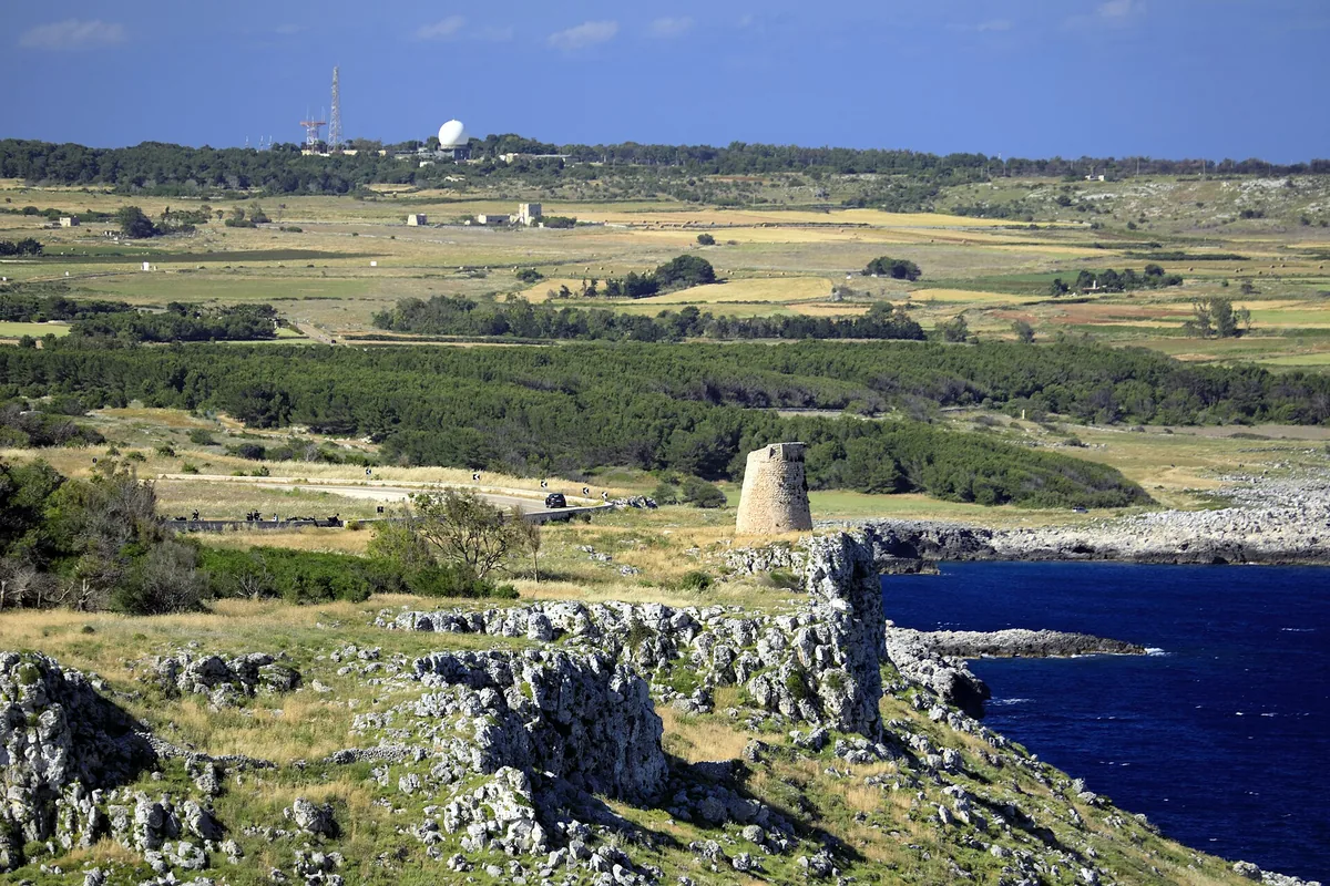
High rocky coast between Porto Badisco and Santa Cesarea, with no beaches, guarded by Torre Minervino and Torre Specchia di Guardia.
- Type of coast
- Rocks and cliffs
- Rocks 4,701 m
- Length
- 4,701 m
- Water quality
- Excellent · classification 2024
- Off season: latest samples of the 2026 season
- ARPA bathing areas:
- 400 MT NORD TORRE MINERVINOExcellentWed 8 Jul: within limits
- TORRE SPECCHIA LA GUARDIAExcellentWed 8 Jul: within limits
- Protected area
- Parco naturale regionale Costa Otranto-S.Maria di Leuca e Bosco di Tricase
- Natura 2000 network
- ZSC Costa Otranto - Santa Maria di Leuca (IT9150002)
About the beach
Between Porto Badisco and Santa Cesarea Terme the coast is high and rocky: almost five kilometres with no beach and no beach clubs, with modest inlets as far as the cove of Malepasso. In the Terrarossa area stands Torre Minervino, built in the 16th century against raids from the sea and named after the Universitas, the town community of Minervino, which paid for its construction; further south, 115 metres above the sea, is Torre Specchia di Guardia, below which the coast road winds down through the pine wood.
From Torre Minervino the view reaches as far as Punta Palascìa. To get down to the sea you have to walk over the rock: you will need water shoes and caution, and it is not a stretch suitable for children. The area is part of the Costa Otranto-Santa Maria di Leuca e Bosco di Tricase regional nature park, where protection rules apply. It is part of the Costa Otranto - Santa Maria di Leuca Natura 2000 site.
The nearest car park is a few hundred metres from the coast. The coast faces east: with north (tramontana), south (ostro), south-west (libeccio), west (ponente) and north-west (maestrale) winds it is sheltered, with north-east (grecale), east (levante) and south-east (scirocco) winds the sea gets rough.
On the map
Stretch of beach
Events nearby
In the coming days within 5 km.
No events within 5 km in the coming days.
Things to see nearby
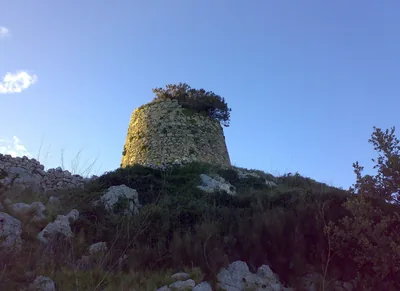 Castles, towers and palacesTorre Specchia di GuardiaThis tower was built in the 16th century to defend the coast and overlooks
the rocky coast and the naturally growing flora. Santa Cesarea Terme 1.1 km away
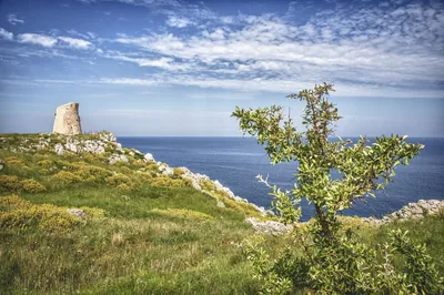 Castles, towers and palacesTorre MinervinoBuilt to defend the east coast of Salento, the Tower is a part of the
system of towers of Santa Cesarea Terme. Santa Cesarea Terme 1.4 km away
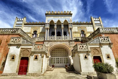 Castles, towers and palacesVilla SticchiVilla Sticchi looms over the Adriatic Sea with its eastern dome and has
been shaping the skyline of Santa Cesarea Terme since the 19th century. Santa Cesarea Terme 2 km away
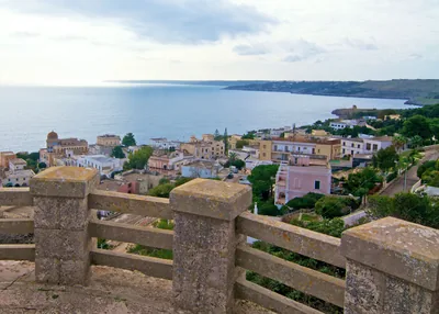 Nature and gardensParco BelvedereJust a few meters from the beautiful Adriatic coast, the Belvedere Park
pine forest is a gathering place for vacationers and a location for events. Santa Cesarea Terme 2.4 km away
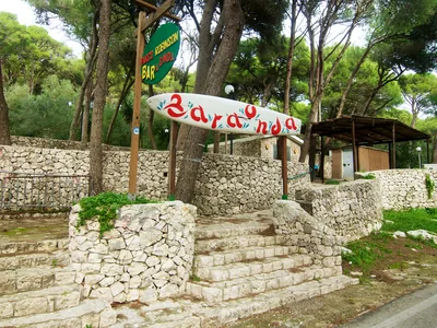 Nature and gardensRobinson ParkPine canopies provide coolness in Santa Cesarea's Robinson Park, from which
there is a magnificent view a short distance from the sea. Santa Cesarea Terme 2.4 km away
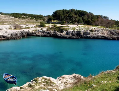 Sea and cavesPorto BadiscoThe nice small beach of Porto Badisco, nestled amid the cliffs and the
yellow brooms, is the perfect place to dive in the crystal clear sea and to
taste the delicious sea-urchins. Otranto 2.9 km away
Beaches nearby
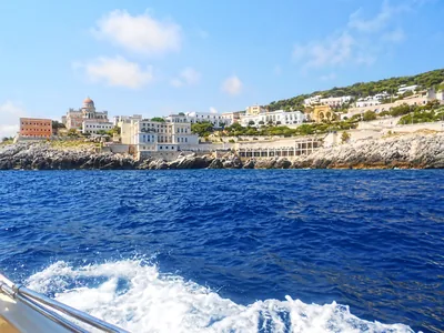 Rocks and cliffsSanta Cesarea TermeSheer rocky shore with steps, natural pools in old quarries and sulphurous thermal waters, below the town's villas.2 beach clubs Excellent water Natura 2000 Santa Cesarea Terme · Adriatic 2.7 km away
- Rocks and cliffsPorto BadiscoDeep inlet between rocks and broom with a small beach in the middle, where legend has it that Aeneas landed.Beach clubs Excellent water Protected area Otranto · Adriatic 3 km away
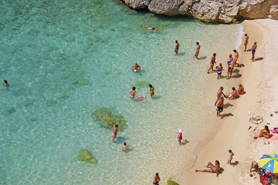 Rocks and cliffsPorto MiggianoSmall cove between twenty-metre cliffs, reached by about a hundred steps, below the 16th-century tower.Free Excellent water Protected area Santa Cesarea Terme · Adriatic 3.8 km away
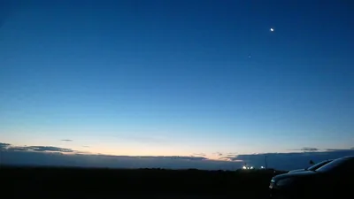 Rocks and cliffsPunta PalascìaRugged rocky coast below the lighthouse of Punta Palascìa, the easternmost point of Italy, as far as Torre Sant'Emiliano.Free Excellent water Protected area Otranto · Adriatic 5.7 km away
Sources and licences
The data comes from public sources; before swimming check the signs and the town’s bathing ordinances.
- ARPA Puglia – Monitoraggio delle acque di balneazione (CC BY 4.0)
- Regione Puglia – Aree di balneazione e classificazione 2024 (CC BY 4.0)
- Regione Puglia – Piano Regionale delle Coste (SIT Puglia) (CC BY 4.0)
- © OpenStreetMap contributors (ODbL 1.0)
- Regione Puglia – Parchi e riserve naturali (rev. 11/2022) (CC BY 4.0)
- Regione Puglia – Perimetrazione dei siti Natura 2000 (12/2023) (CC BY 4.0)
- Wikimedia Commons (foto: autore e licenza su ogni foto) (CC0, PD, CC BY, CC BY-SA)
- Wind forecast: MET Norway (CC BY 4.0).
- Photos: Falk2, CC BY-SA 4.0 · Wikimedia Commons
- Photos: paolo dagani, CC BY 3.0 · Wikimedia Commons
- Data updated: Sunday, 25 October 2026.