
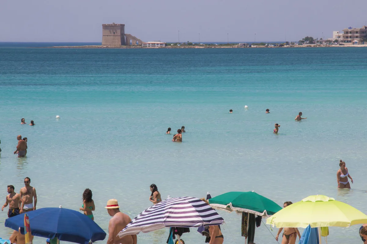
The beach at a glance
Long beach of very fine pale sand with dunes, shallow water, free stretches and beach clubs, north of Porto Cesareo.
- Type of coast
- Sand
- Sand 2,933 m
- Rocks 1,248 m
- Length
- 4,181 m
- Seafront
- 68% free
- 2,826 m free1,355 m leased to beach clubs
- Water quality
- Excellent · classification 2024
- Off season: latest samples of the 2026 season
- ARPA bathing areas:
- BACINO GRANDEExcellentThu 16 Jul: within limits
- TORRE CAPILLOExcellentThu 16 Jul: within limits
- TORRE CAPILLO-ALLA TORREExcellentThu 16 Jul: within limits
- Protected area
- Area marina protetta Porto Cesareo
- Natura 2000 network
- ZPS Porto Cesareo (IT9150042)
- ZSC Porto Cesareo (IT9150028)
- Coastal erosion
- medium
About the beach
Torre Lapillo has a beach of very fine pale sand that stretches north of Porto Cesareo as far as the Bacino Grande, with a long ridge of dunes and a few stretches of low rocks. The beach clubs alternate with long stretches of free beach, which cover almost two thirds of the beachfront. The seabed is shallow and sandy, suitable for children to play: to swim you have to go out a little way. The pebbles smoothed by the storms give the water emerald-green glints.
At the southern end of the bay stands the 16th-century tower with its large three-arched staircase, on the inlet known as dell'uomo morto (of the dead man): it houses the environmental education centre of the Palude del Conte e Duna Costiera reserve. To the north are the ruins of Torre Castiglione, among the spunnulate, karst hollows formed by the collapse of cavities. The sea is in the Porto Cesareo marine protected area, where rules on anchoring and fishing apply; the beach is subject to erosion.
The car parks are close by. The beach faces south-west: with the north wind (tramontana) the sea turns flat, and it is also sheltered with north-east (grecale), east (levante), south-east (scirocco) and north-west (maestrale) winds; with south (ostro), south-west (libeccio) and west (ponente) winds it gets rough. It is part of the Porto Cesareo Natura 2000 site.
On the map
Stretch of beachBeach club
Beach clubs
On this stretch of beach or less than 300 m away.
Lido La Pineta
- Services for people with disabilities: parcheggi riservati
- Parking
Lido Max
- Services for people with disabilities: sedia JOB
- Parking
Lido Congedo
Lido Canne
Orange Sun
Bar · Ristorante
Bahia del Sol
7 more beach clubs
Lido Stella Maris
Bar
- Services for people with disabilities: sedia JOB
- Parking
Bacino Grande
Bar · Ristorante
- Services for people with disabilities: parcheggi riservati
- Parking
Lido Club Bassamarea
Hookipa
Belvedere Lido S.r.l
- Parking
Goa
Elios Lido
Bar · Punto ristoro · Ristorante
- Services for people with disabilities: parcheggi riservati
- Pets allowed
- Parking
Events nearby
In the coming days within 5 km.

Halloween Weekend at Sixteen Aperifood: Three Days of Music and Horror Vibes
Three days of DJ sets, themed cocktails, and horror vibes for Halloween.
Things to see nearby
 Sea and cavesTorre LapilloTransparent water with emerald green shades and fine sand: the seaside of
Torre Lapillo must be discovered, with its public and private beaches. Porto Cesareo very close
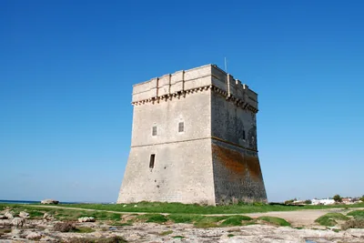 Castles, towers and palacesTorre ChiancaGuarding the homonymous cove, Torre Chianca is located on the coast north
of Porto Cesareo. Porto Cesareo 1.8 km away
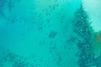 ArchaeologyGreek-Roman columns of Torre ChiancaIn Torre Chianca, just a short distance from the coast, these columns is
visible from the surface on days when the sea is calm. Porto Cesareo 1.9 km away
- ArchaeologyScalo di FurnoNot far from Porto Cesareo, the archeological site has unraveled treasures and artifacts of a human settlement dating back to the Bronze Age. Porto Cesareo 2.5 km away
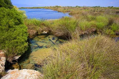 Nature and gardensRegional Nature Reserve Palude del Conte e Duna CostieraThe reserve of Porto Cesareo, a complex mosaic of ecosystems, appears amid
“spunnulate”, watchtowers and cyclamens. Porto Cesareo 2.5 km away
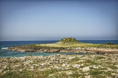 Castles, towers and palacesTorre CastiglioneLocated on the Ionian coast, very little remains of this watchtower today. Porto Cesareo 3.3 km away
Beaches nearby
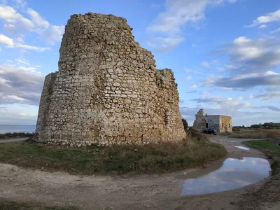 SandTorre Chianca – Scala di FurnoSmall sandy bays and low rocks between Porto Cesareo and Torre Lapillo, with shallow water and the sunken Roman columns.Free · 6 beach clubs Excellent water Protected area Porto Cesareo · Ionian 2.6 km away
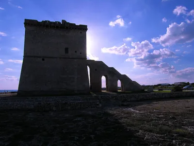 MixedTorre CastiglioneCoast of low rocks with stretches of sand, the ruins of the tower and the spunnulate, in the Porto Cesareo marine protected area.Free · 3 beach clubs Excellent water Protected area Porto Cesareo · Ionian 3.2 km away
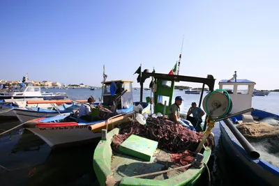 SandPorto CesareoThe town on the sea, with small stretches of sand between rocks and quays and the Isola dei Conigli a few strokes away, in the protected area.Free · beach clubs Excellent water Protected area Porto Cesareo · Ionian 4.2 km away
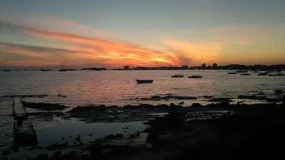 SandSpiaggia della StreaPeninsula of sand and low rocks closing off the port of Porto Cesareo to the south, with free stretches and shallow water.Free Excellent water Protected area Porto Cesareo · Ionian 4.9 km away
Sources and licences
The data comes from public sources; before swimming check the signs and the town’s bathing ordinances.
- ARPA Puglia – Monitoraggio delle acque di balneazione (CC BY 4.0)
- Regione Puglia – Aree di balneazione e classificazione 2024 (CC BY 4.0)
- Regione Puglia – Piano Regionale delle Coste (SIT Puglia) (CC BY 4.0)
- © OpenStreetMap contributors (ODbL 1.0)
- Regione Puglia – Ricognizione dei Piani comunali delle coste (A.D. 142/2025, SIT Puglia) (CC BY 4.0)
- Regione Puglia – Parchi e riserve naturali (rev. 11/2022) (CC BY 4.0)
- Regione Puglia – Perimetrazione dei siti Natura 2000 (12/2023) (CC BY 4.0)
- Pugliapromozione – DMS Puglia, open data (stabilimenti balneari, luoghi di interesse) (CC BY 4.0)
- Wikimedia Commons (foto: autore e licenza su ogni foto) (CC0, PD, CC BY, CC BY-SA)
- salentosagreeventi.it – luoghi (foto e testi già pubblicati) (come indicato sulle foto)
- Wind forecast: MET Norway (CC BY 4.0).
- Photos: Paolo Laku · Regione Puglia
- Photos: Hydruntum, CC BY-SA 3.0 · Wikimedia Commons
- Photos: cip&ciop, CC BY 3.0 · Wikimedia Commons
- Data updated: Sunday, 25 October 2026.