
The beach at a glance
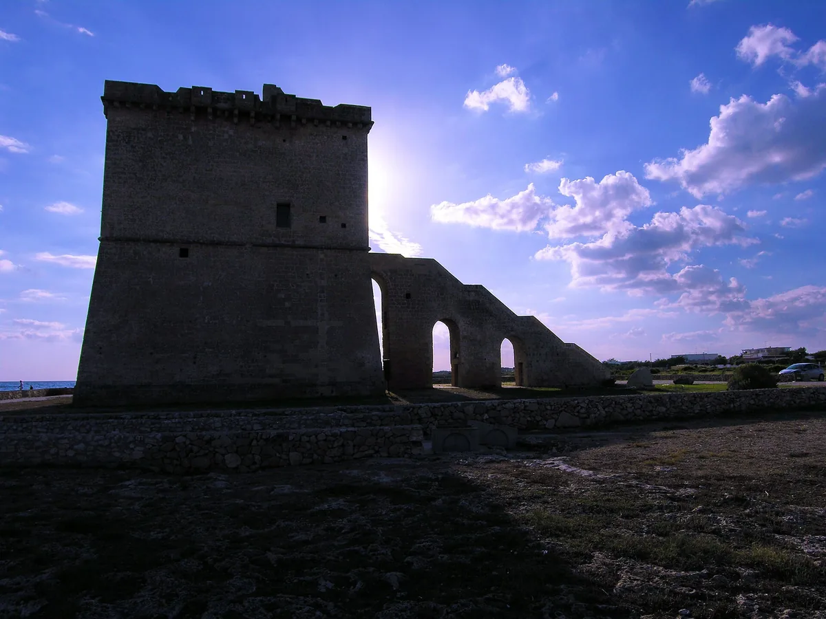
Coast of low rocks with stretches of sand, the ruins of the tower and the spunnulate, in the Porto Cesareo marine protected area.
- Type of coast
- Mixed
- Sand 900 m
- Rocks 4,766 m
- Man-made 92 m
- Length
- 5,926 m
- Seafront
- 69% free
- 1,939 m free866 m leased to beach clubs
- Water quality
- Excellent · classification 2024
- Off season: latest samples of the 2026 season
- ARPA bathing areas:
- TORRE CASTIGLIONEExcellentThu 16 Jul: within limits
- AL LAGHETTOExcellentThu 16 Jul: within limits
- Protected area
- Area marina protetta Porto Cesareo
- Riserva naturale regionale orientata Palude del conte e duna costiera - Porto Cesareo
- Natura 2000 network
- ZPS Porto Cesareo (IT9150042)
- ZSC Porto Cesareo (IT9150028)
- ZSC Palude del Conte, dune di Punta Prosciutto (IT9150027)
About the beach
The Torre Castiglione stretch, which also includes the Al Laghetto area, runs for almost six kilometres between Torre Lapillo and Torre Colimena. It is a coast largely of low rock, with about 900 metres of sand; just over half the beachfront is free and there are a few beach clubs. The water is shallow and suitable for children too.
On a small rocky peninsula stand the ruins of the tower, built around 1568 as part of the coastal lookout system ordered by Charles V. Behind it open the spunnulate, karst hollows formed by the collapse of underground cavities, included in the Palude del Conte e Duna Costiera reserve, which borders the Porto Cesareo marine protected area: at sea, rules on anchoring and fishing apply.
The car parks are a short distance from the shore. On the rocks you will need water shoes. The coast faces south: with north (tramontana), north-east (grecale) and north-west (maestrale) winds the sea stays calm, with south-east (scirocco), south (ostro) and south-west (libeccio) winds it gets rough. It is part of the Porto Cesareo and Palude del Conte, dune di Punta Prosciutto Natura 2000 sites.
On the map
Stretch of beachBeach club
Beach clubs
On this stretch of beach or less than 300 m away.
Events nearby
In the coming days within 5 km.
No events within 5 km in the coming days.
Things to see nearby
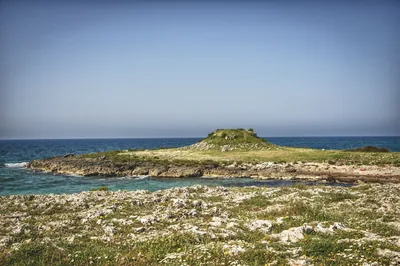 Castles, towers and palacesTorre CastiglioneLocated on the Ionian coast, very little remains of this watchtower today. Porto Cesareo very close
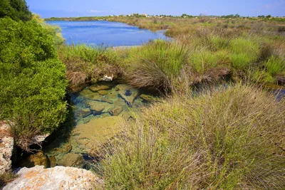 Nature and gardensRegional Nature Reserve Palude del Conte e Duna CostieraThe reserve of Porto Cesareo, a complex mosaic of ecosystems, appears amid
“spunnulate”, watchtowers and cyclamens. Porto Cesareo very close
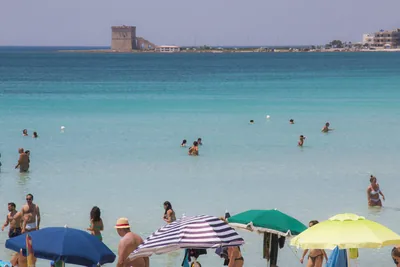 Sea and cavesTorre LapilloTransparent water with emerald green shades and fine sand: the seaside of
Torre Lapillo must be discovered, with its public and private beaches. Porto Cesareo 2.5 km away
Beaches nearby
- SandTorre LapilloLong beach of very fine pale sand with dunes, shallow water, free stretches and beach clubs, north of Porto Cesareo.Free · 13 beach clubs Excellent water Protected area Porto Cesareo · Ionian 3.2 km away
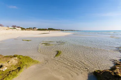 SandPunta ProsciuttoLong beach of white sand, largely free, among dunes and scrub, with shallow water, in the Palude del Conte reserve.Free · 3 beach clubs Excellent water Protected area Porto Cesareo · Ionian 3.5 km away
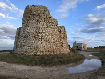 SandTorre Chianca – Scala di FurnoSmall sandy bays and low rocks between Porto Cesareo and Torre Lapillo, with shallow water and the sunken Roman columns.Free · 6 beach clubs Excellent water Protected area Porto Cesareo · Ionian 5.5 km away
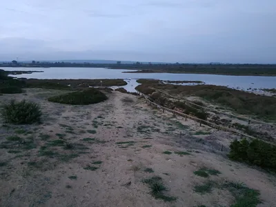 SandTorre ColimenaBay of soft sand, all free, with rocky shore towards the tower and the Salina dei Monaci behind, in a nature reserve.Free Excellent water Blue Flag town Protected area Manduria · Ionian 6.3 km away
Sources and licences
The data comes from public sources; before swimming check the signs and the town’s bathing ordinances.
- ARPA Puglia – Monitoraggio delle acque di balneazione (CC BY 4.0)
- Regione Puglia – Aree di balneazione e classificazione 2024 (CC BY 4.0)
- Regione Puglia – Piano Regionale delle Coste (SIT Puglia) (CC BY 4.0)
- © OpenStreetMap contributors (ODbL 1.0)
- Regione Puglia – Ricognizione dei Piani comunali delle coste (A.D. 142/2025, SIT Puglia) (CC BY 4.0)
- Regione Puglia – Parchi e riserve naturali (rev. 11/2022) (CC BY 4.0)
- Regione Puglia – Perimetrazione dei siti Natura 2000 (12/2023) (CC BY 4.0)
- Pugliapromozione – DMS Puglia, open data (stabilimenti balneari, luoghi di interesse) (CC BY 4.0)
- Wikimedia Commons (foto: autore e licenza su ogni foto) (CC0, PD, CC BY, CC BY-SA)
- Wind forecast: MET Norway (CC BY 4.0).
- Photos: cip&ciop, CC BY 3.0 · Wikimedia Commons
- Data updated: Sunday, 25 October 2026.