
Sand Blue Flag town Excellent water Protected areaFor families
Torre Colimena
Manduria (TA)· Sea: Ionian
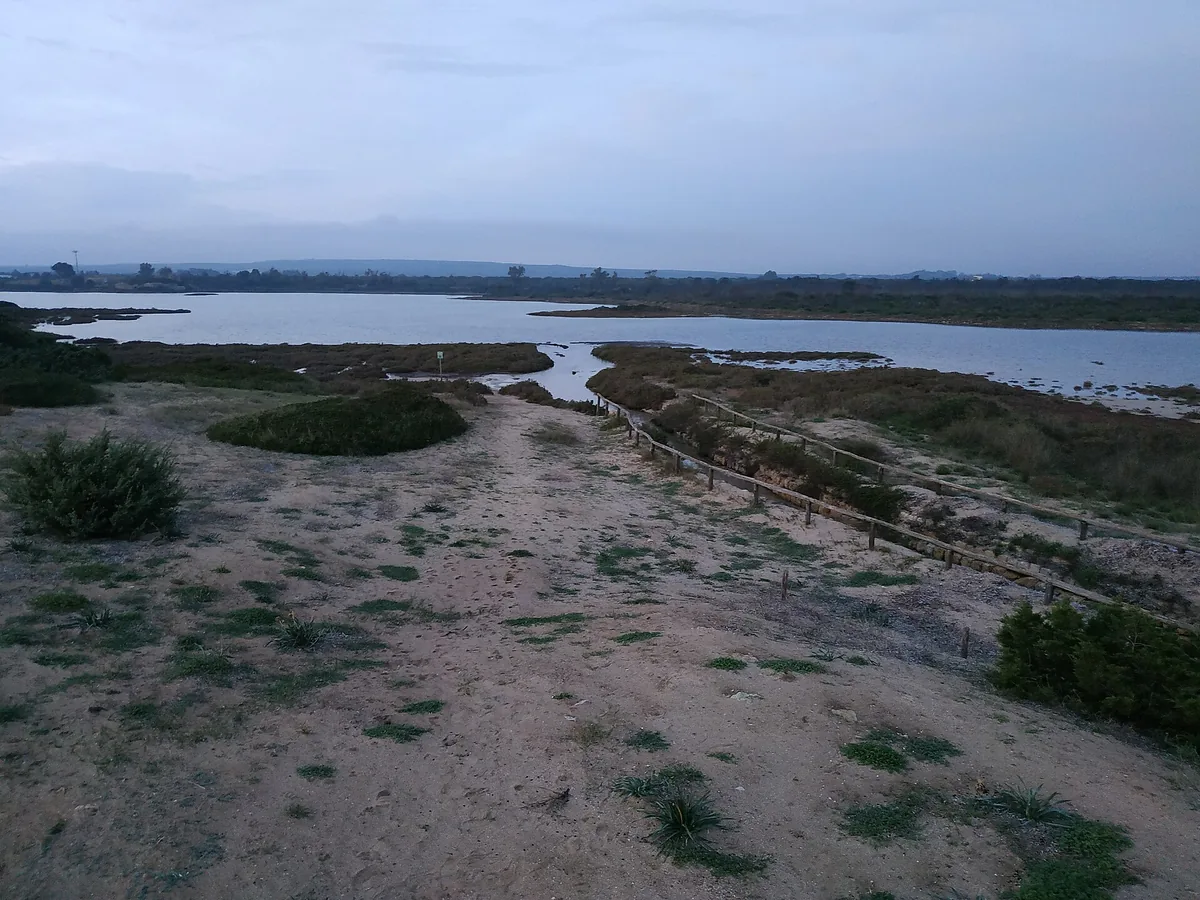
The beach at a glance
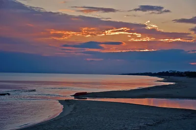
Bay of soft sand, all free, with rocky shore towards the tower and the Salina dei Monaci behind, in a nature reserve.
- Type of coast
- Sand
- Sand 2,952 m
- Rocks 677 m
- Man-made 61 m
- Length
- 3,730 m
- Seafront
- 100% free
- 3,730 m free0 m leased to beach clubs
- Water quality
- Excellent · classification 2024
- Off season: latest samples of the 2026 season
- ARPA bathing areas:
- SPIAGGIA LIBERA TORRE COLUMENAExcellentTue 14 Jul: within limits
- SPIAGGIA LIBERA ZONA VECCHIA SALINAExcellentTue 14 Jul: within limits
- Blue Flag town
- Manduria has the Blue Flag this year
- Protected area
- Riserva naturale regionale orientata Riserve del Litorale Tarantino Orientale
- Natura 2000 network
- ZSC Torre Colimena (IT9130001)
- Coastal erosion
- medium
About the beach
The bay of Torre Colimena, a village belonging to Manduria, extends for almost four kilometres: almost three of soft sand and the rest rocky shore, which takes the place of the beach as you get closer to the 16th-century tower. The beachfront is all free, with no beach clubs, and the seabed slopes gently: suitable for children to play.
Just north of the tower lies the Salina Vecchia, also called dei Monaci, about 25 hectares of brackish water enclosed by dunes, used according to the Region as far back as Roman times to extract salt and now visited by pink flamingos. The area is part of the Litorale Tarantino Orientale regional nature reserve: respect the reserve's rules and do not disturb the birds.
There are car parks a few steps from the shore. As there are no beach clubs, bring a sunshade and water. Facing south, it is sheltered with north (tramontana), north-east (grecale) and north-west (maestrale) winds; with south-east (scirocco) and south-west (libeccio) winds the sea gets rough. The beach is affected by erosion. Manduria is a Blue Flag municipality. It is part of the Torre Colimena Natura 2000 site.
On the map
Stretch of beach
Events nearby
In the coming days within 5 km.
No events within 5 km in the coming days.
Things to see nearby
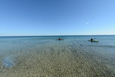 Sea and cavesTorre Colimena and Salina dei MonaciWith its soft sand and the sea beds which gently slope down a few steps
away from the jagged cliff, the Bay of Torre Colimena keeps the ancient
Salina dei Monaci (Salt pan of the Monks), where pink flamingos fly. Manduria very close
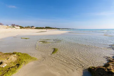 Sea and cavesPunta ProsciuttoThe long and unspoiled beach of Punta Prosciutto stretches inside the
Nature Park “Palude del Conte e Duna Costiera”, offering a corner of
paradise, lapped by shallow and crystal clear water. Porto Cesareo 1.6 km away
Beaches nearby
- SandPunta ProsciuttoLong beach of white sand, largely free, among dunes and scrub, with shallow water, in the Palude del Conte reserve.Free · 3 beach clubs Excellent water Protected area Porto Cesareo · Ionian 2.8 km away
- SandSpecchiaricaBeach of fine sand behind the dunes, all free, from the Corsica area to the mouth of the Chidro, with shallow water.Free Excellent water Blue Flag town Natura 2000 Manduria · Ionian 3.3 km away
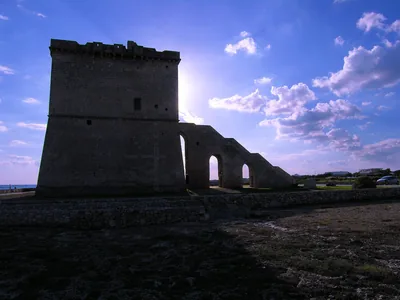 MixedTorre CastiglioneCoast of low rocks with stretches of sand, the ruins of the tower and the spunnulate, in the Porto Cesareo marine protected area.Free · 3 beach clubs Excellent water Protected area Porto Cesareo · Ionian 6.3 km away
 SandSan Pietro in BevagnaBeach of soft sand over four kilometres long, almost all free, with shallow water and the sanctuary of San Pietro.Free · 2 beach clubs Excellent water Blue Flag town Natura 2000 Manduria · Ionian 6.5 km away
Sources and licences
The data comes from public sources; before swimming check the signs and the town’s bathing ordinances.
- ARPA Puglia – Monitoraggio delle acque di balneazione (CC BY 4.0)
- Regione Puglia – Aree di balneazione e classificazione 2024 (CC BY 4.0)
- Regione Puglia – Piano Regionale delle Coste (SIT Puglia) (CC BY 4.0)
- © OpenStreetMap contributors (ODbL 1.0)
- Regione Puglia – Ricognizione dei Piani comunali delle coste (A.D. 142/2025, SIT Puglia) (CC BY 4.0)
- Regione Puglia – Parchi e riserve naturali (rev. 11/2022) (CC BY 4.0)
- Regione Puglia – Perimetrazione dei siti Natura 2000 (12/2023) (CC BY 4.0)
- Wikimedia Commons (foto: autore e licenza su ogni foto) (CC0, PD, CC BY, CC BY-SA)
- salentosagreeventi.it – luoghi (foto e testi già pubblicati) (come indicato sulle foto)
- FEE Italia – Bandiera Blu 2026 (dato pubblico (elenco dei comuni premiati))
- Wind forecast: MET Norway (CC BY 4.0).
- Photos: Florixc, CC0 · Wikimedia Commons
- Photos: Ralf Steinberger, CC BY 2.0 · Wikimedia Commons
- Photos: Acidi Colori · Regione Puglia
- Photos: Livioandronico2013, CC BY-SA 4.0 · Wikimedia Commons
- Photos: Hannibal1994, CC BY-SA 4.0 · Wikimedia Commons
- Photos: Graziano_Cannoletta, CC BY-SA 4.0 · Wikimedia Commons
- Photos: Acquario51, CC BY-SA 4.0 · Wikimedia Commons
- Photos: Arcabruno, CC BY-SA 4.0 · Wikimedia Commons
- Photos: Graziano_Cannoletta, CC BY-SA 4.0 · Wikimedia Commons
- Photos: No machine-readable author provided. The Doc assumed (based on copyright claims)., CC BY-SA 3.0 · Wikimedia Commons
- Data updated: Sunday, 25 October 2026.