
Mixed Blue Flag town Excellent waterFor families
Spiaggia della Mezzaluna
Carovigno (BR)· Sea: Adriatic
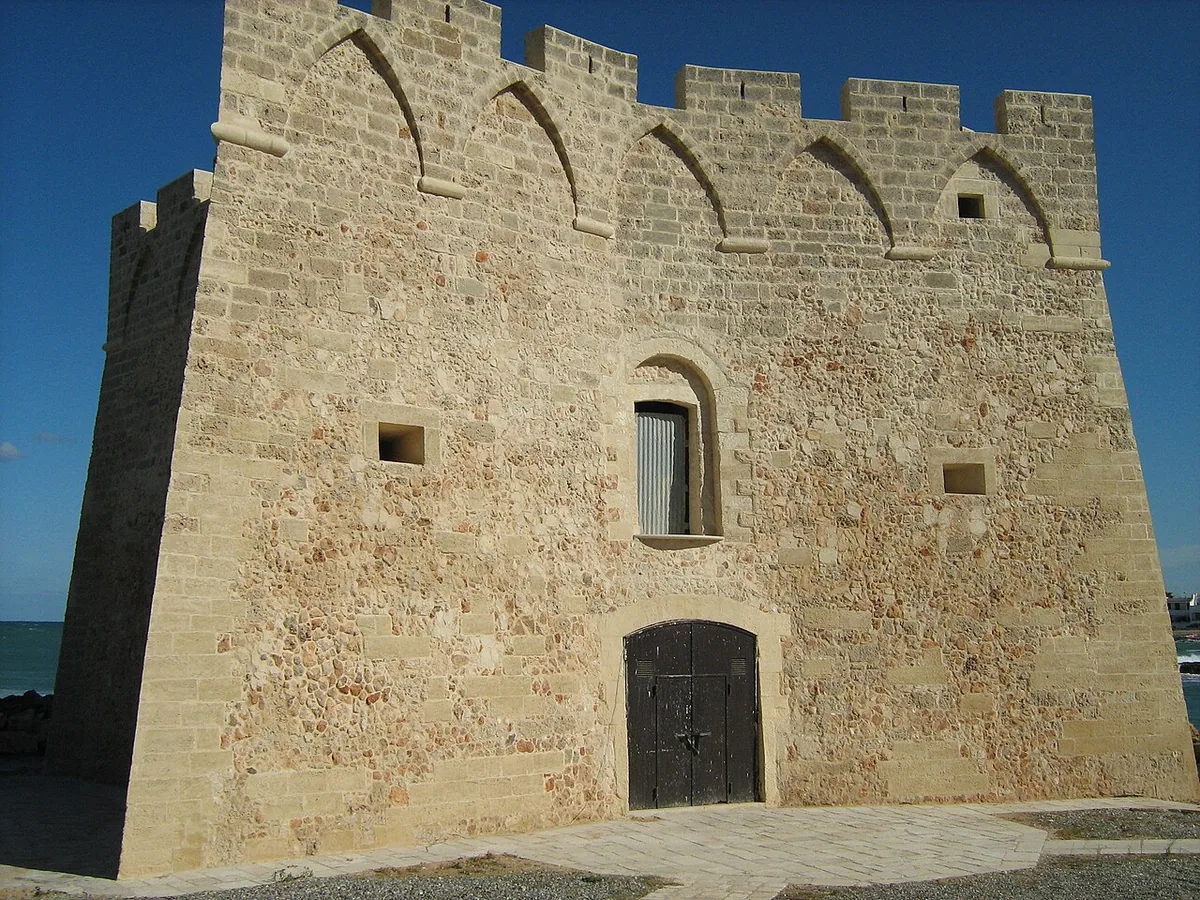
The beach at a glance
Rocky shore north of Torre Santa Sabina, with the diving spots of La Gola and the small crescent-shaped Mezzaluna beach.
- Type of coast
- Mixed
- Sand 131 m
- Rocks 53 m
- Cliff 6,942 m
- Length
- 7,125 m
- Seafront
- 68% free
- 992 m free457 m leased to beach clubs
- Water quality
- Excellent · classification 2024
- Off season: latest samples of the 2026 season
- ARPA bathing areas:
- DI FRONTE ALLA STRADA MASSERIA MONACELLAExcellentWed 15 Jul: within limits
- TORRE S SABINA - "LA NOSTRA FAMIGLIA"ExcellentWed 15 Jul: within limits
- TORRE S SABINA - DX "LA NOSTRA FAMIGLIA"ExcellentWed 15 Jul: within limits
- Blue Flag town
- Carovigno has the Blue Flag this year
About the beach
This stretch of the Carovigno coast runs from the rocky shore north of Torre Santa Sabina to the Mezzaluna beach, and for most of its seven kilometres it is cliff. At the northern end is La Gola, with high, steep rocks to dive from; to the south, in the Carisciola area, a small stream crosses the Mezzaluna, a little crescent-shaped sandy beach, partly free and partly with facilities, with shallow water.
Further on are the free beach of the Isoletta and the Scoglio del Cavallo, a rocky islet that looks like a horse. There are two beach clubs, with a JOB chair and reserved parking for people with disabilities.
The nearest car park is a few hundred metres away. On the rocky shore access is on foot and you will need water shoes. The coast faces north-east: north (tramontana), north-east (grecale) and east (levante) winds make the sea rough, with south-east (scirocco), south (ostro), south-west (libeccio), west (ponente) and north-west (maestrale) winds it is sheltered.
On the map
Stretch of beachBeach club
Beach clubs
On this stretch of beach or less than 300 m away.
TBEACH Mezzaluna
- Services for people with disabilities: sedia JOB
- Parking
Solarium Cliff
- Services for people with disabilities: parcheggi riservati
Events nearby
In the coming days within 5 km.
No events within 5 km in the coming days.
Things to see nearby
- Sea and cavesTorre Santa Sabina/MezzalunaTorre Santa Sabina, with its wonderful cliffs and sandy beaches, awaits visitors to dive in the Adriatic Sea. Carovigno 1 km away
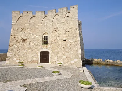 Castles, towers and palacesTorre Santa SabinaTorre Santa Sabina, imbued with the scent of salt, is a characteristic
building by the coast, a few steps away from the town centre of the borough
of Carovigno. Carovigno 1.2 km away
Beaches nearby
- MixedTorre Santa SabinaThe village with its tower, small harbour and Camerini beach: sand, rocks and shallow water, almost all free.Free · 1 beach club Excellent water Blue Flag town Carovigno · Adriatic 1.8 km away
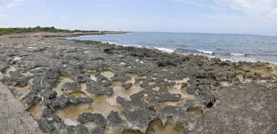 MixedTorre PozzellaCoast of low cliffs between Santa Lucia and Lamaforca, with small sandy coves and rocks.Beach clubs Excellent water Blue Flag town Ostuni · Adriatic 2.2 km away
- SandPantanagianniSandy beach among dunes and scrub, largely free, with low rocks as far as the small cove of Torre Morgicchio.Free · 1 beach club Excellent water Blue Flag town Carovigno · Adriatic 3.4 km away
- MixedCosta MerlataCoast of low cliffs and rocks on the Ostuni seafront, with a few small sandy coves.Free · beach clubs Excellent water Blue Flag town Ostuni · Adriatic 3.8 km away
Sources and licences
The data comes from public sources; before swimming check the signs and the town’s bathing ordinances.
- ARPA Puglia – Monitoraggio delle acque di balneazione (CC BY 4.0)
- Regione Puglia – Aree di balneazione e classificazione 2024 (CC BY 4.0)
- Regione Puglia – Piano Regionale delle Coste (SIT Puglia) (CC BY 4.0)
- © OpenStreetMap contributors (ODbL 1.0)
- Regione Puglia – Ricognizione dei Piani comunali delle coste (A.D. 142/2025, SIT Puglia) (CC BY 4.0)
- Pugliapromozione – DMS Puglia, open data (stabilimenti balneari, luoghi di interesse) (CC BY 4.0)
- Wikimedia Commons (foto: autore e licenza su ogni foto) (CC0, PD, CC BY, CC BY-SA)
- salentosagreeventi.it – luoghi (foto e testi già pubblicati) (come indicato sulle foto)
- FEE Italia – Bandiera Blu 2026 (dato pubblico (elenco dei comuni premiati))
- Wind forecast: MET Norway (CC BY 4.0).
- Photos: Roberto Sernicola, CC BY 3.0 · Wikimedia Commons
- Photos: Acquario51, CC BY-SA 4.0 · Wikimedia Commons
- Photos: Acquario51, CC BY-SA 4.0 · Wikimedia Commons
- Photos: PicsAngelo, CC BY-SA 4.0 · Wikimedia Commons
- Photos: Francesca Zullino, CC BY 3.0 · Wikimedia Commons
- Photos: Maleficox, CC BY-SA 3.0 · Wikimedia Commons
- Photos: Sofiamammoliti, CC BY-SA 4.0 · Wikimedia Commons
- Data updated: Sunday, 25 October 2026.