
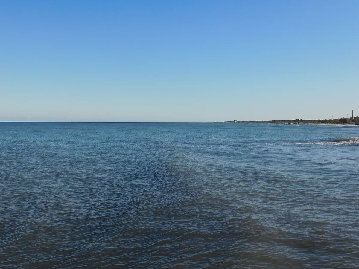
The beach at a glance
Over seven kilometres of even sand, with dunes and long free stretches, from the Lago Grande to south of Frigole.
- Type of coast
- Sand
- Sand 6,137 m
- Man-made 1,157 m
- Length
- 7,633 m
- Seafront
- 85% free
- 6,443 m free1,169 m leased to beach clubs
- Water quality
- Excellent · classification 2024
- Off season: latest samples of the 2026 season
- ARPA bathing areas:
- LAGO GRANDEExcellentMon 6 Jul: within limits
- FRIGOLE-STAB.MARINARELLAExcellentMon 6 Jul: within limits
- FRIGOLE-SPIAGGIA LIBERAExcellentMon 6 Jul: within limits
- FRIGOLE-CAMPEGGIO PINIMARExcellentMon 6 Jul: within limits
- Blue Flag town
- Lecce has the Blue Flag this year
- Natura 2000 network
- ZSC Aquatina di Frigole (IT9150003)
- ZSC Torre Veneri (IT9150025)
- Coastal erosion
- medium
About the beach
The Frigole coastline is a long strip of even sand: over seven kilometres, from the Lago Grande area to the campsite south of the village, with about six kilometres of actual beach and a few stretches of sea defences. Dunes run alongside the sand for two and a half kilometres.
The beach is largely free, for over 80% of the seafront; the seven beach clubs are spread along the coast and some offer a bar, restaurant, boardwalks or a JOB chair. The sand and the space make it suitable for families. Less than a kilometre from the coast is the San Cataldo nature reserve, with its pine wood of Aleppo pine and eucalyptus planted in the early 20th century, when the coastal marshes were drained. It is part of the Aquatina di Frigole and Torre Veneri Natura 2000 sites.
The coast faces north-east: with south-east (scirocco), south (ostro), south-west (libeccio), west (ponente) and north-west (maestrale) winds the sea is sheltered, while north (tramontana), north-east (grecale) and east (levante) winds make it rough. Lecce is a Blue Flag municipality.
On the map
Stretch of beachBeach club
Beach clubs
On this stretch of beach or less than 300 m away.
Lido Pantarei
Lido Enea
Bar · Ristorante
Lido Esposito
- Services for people with disabilities: passerelle
- Parking
Granchio Rosso
- Services for people with disabilities: sedia JOB
- Parking
Lido La Staffa
- Services for people with disabilities: parcheggi riservati
- Parking
Lido Smeraldo
1 more beach club
Stabilimento Balneare Molo 13 - Area sosta Camper
Events nearby
In the coming days within 5 km.
No events within 5 km in the coming days.
Things to see nearby
- Nature and gardensSan Cataldo Nature ReserveNatural riserva of San Cataldo is a protected natural area of the region of Puglia established in 1977. Lecce 1.1 km away
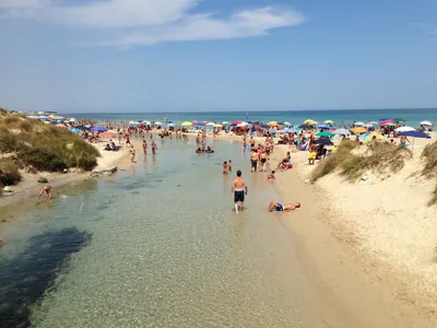 Sea and cavesTorre ChiancaOn the border of the Nature Park of Rauccio, Torre Chianca is the
background of the Idume river which flows into the Adriatic Sea, which
caresses the long white sandy beaches. Lecce 5.1 km away
Beaches nearby
- SandTorre ChiancaFour kilometres of white sand with dunes, beach clubs and long free stretches, below the 16th-century tower, in the Rauccio park.Free · 5 beach clubs Excellent water Blue Flag town Protected area Lecce · Adriatic 5.1 km away
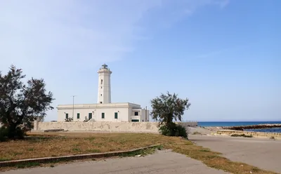 SandSan CataldoThe sandy beach of the people of Lecce: kilometres of beach clubs and free stretches between the groynes, from the dock to the Rotonda.Free · 5 beach clubs Excellent water Blue Flag town Natura 2000 Lecce, Vernole · Adriatic 6.4 km away
- SandSpiaggiabellaTwo kilometres of sand and dunes, almost all free, in the Rauccio park, between Torre Rinalda and Torre Chianca.Free · 2 beach clubs Excellent water Blue Flag town Protected area Lecce · Adriatic 7.6 km away
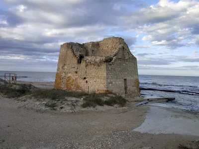 SandTorre RinaldaAlmost four kilometres of sand fringed by dunes, largely free, in the Bosco e paludi di Rauccio park.Free · 1 beach club Excellent water Blue Flag town Protected area Lecce · Adriatic 9.9 km away
Sources and licences
The data comes from public sources; before swimming check the signs and the town’s bathing ordinances.
- ARPA Puglia – Monitoraggio delle acque di balneazione (CC BY 4.0)
- Regione Puglia – Aree di balneazione e classificazione 2024 (CC BY 4.0)
- Regione Puglia – Piano Regionale delle Coste (SIT Puglia) (CC BY 4.0)
- © OpenStreetMap contributors (ODbL 1.0)
- Regione Puglia – Ricognizione dei Piani comunali delle coste (A.D. 142/2025, SIT Puglia) (CC BY 4.0)
- Regione Puglia – Perimetrazione dei siti Natura 2000 (12/2023) (CC BY 4.0)
- Pugliapromozione – DMS Puglia, open data (stabilimenti balneari, luoghi di interesse) (CC BY 4.0)
- Wikimedia Commons (foto: autore e licenza su ogni foto) (CC0, PD, CC BY, CC BY-SA)
- FEE Italia – Bandiera Blu 2026 (dato pubblico (elenco dei comuni premiati))
- Wind forecast: MET Norway (CC BY 4.0).
- Photos: Paride81 at Italian Wikipedia, CC BY-SA 3.0 · Wikimedia Commons
- Photos: SebastianoColetta97, CC BY-SA 4.0 · Wikimedia Commons
- Data updated: Sunday, 25 October 2026.