
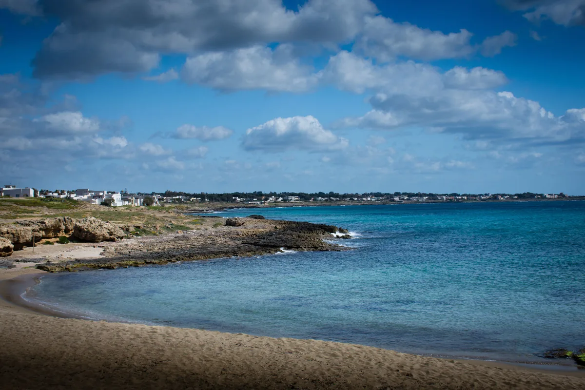
The beach at a glance
Low rocky shore of flat rocks, almost all free and easy to walk on, with seabeds full of life, as far as Posto Li Sorci.
- Type of coast
- Rocks and cliffs
- Rocks 4,159 m
- Length
- 4,159 m
- Seafront
- 86% free
- 1,419 m free237 m leased to beach clubs
- Water quality
- Excellent · classification 2024
- Off season: latest samples of the 2026 season
- ARPA bathing areas:
- MARINA DI MANCAVERSAExcellentTue 14 Jul: within limits
- GALLIPOLI-POSTO LI SORCIExcellentTue 14 Jul: within limits
About the beach
Marina di Mancaversa, a village belonging to Taviano, looks out over the Ionian between Torre Suda and Punta Pizzo, and this stretch reaches as far as Posto Li Sorci, on the same low coast. For about four kilometres the shore is made of low, flat rocks, easy to walk across to the water; here and there small sandy coves open up. Almost the whole beachfront is free, with only one beach club. For the rocks you will need water shoes.
The seabed is rich in plant and animal life and draws divers and spearfishers; along the coast there are a few kiosks. There is also a short stretch of sand known as Mare dei Cavalli, where local people once brought their horses to wash them. The name Mancaversa may come from «versante mancino», meaning the left-hand side of Gallipoli. The stretch lies within the Isola di Sant'Andrea e litorale di Punta Pizzo regional nature park, where the protection rules apply.
The car parks are close by, the first a few steps away. The coast faces south-west: with north (tramontana), north-east (grecale), east (levante), south-east (scirocco) and north-west (maestrale) winds the sea is calm, with south (ostro), south-west (libeccio) and west (ponente) winds it gets rough.
On the map
Stretch of beachBeach club
Beach clubs
On this stretch of beach or less than 300 m away.
Events nearby
In the coming days within 5 km.

Il Parco d'Autunno – Pumpkin Festival
Four autumn weekends with a pumpkin theme at Raffo Parco Gondar, with family activities and a food area.
Things to see nearby
 Sea and cavesMarina di MancaversaMarina di Mancaversa, with its low and rocky cliffs and sandy coves, offers
wonderful sea beds with clear water. Taviano very close
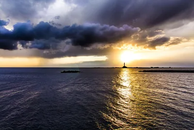 Nature and gardensRegional Nature Park Litorale di Punta Pizzo e Isola di Sant'AndreaThe Island of Sant’Andrea, inside the Park of Punta Pizzo, has the only
colony of nesting Audouin’s gull along the Adriatic and Ionian coast in
Italy. Gallipoli 2.4 km away
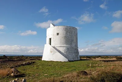 Castles, towers and palacesTorre del PizzoBuilt under the dominion of Charles V, Torre del Pizzo rises to defend the
Ionian coast of Salento. Gallipoli 2.6 km away
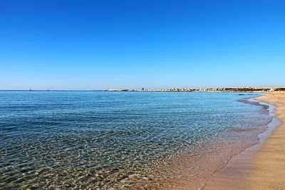 Sea and cavesPunta PizzoThe rocky coast, the sandy beach and the sea with wonderful reflections,
Punta Pizzo stands out in the heart of the nature park. Gallipoli 3.2 km away
Beaches nearby
- SandPunta PizzoRocky point with small beaches and a long stretch of sand beyond the pine wood, among scrub and a 16th-century tower, in the park.Free · 1 beach club Excellent water Blue Flag town Protected area Gallipoli · Ionian 2.5 km away
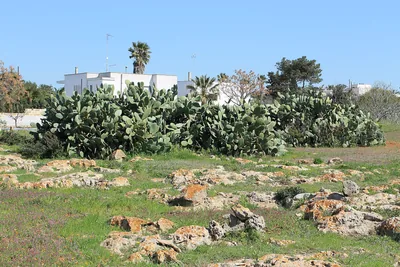 Rocks and cliffsTorre SudaCoast of low rocks between Capilungo and Mancaversa, with Posto Racale: no sand, you get into the water from the rock.Free Excellent water Racale · Ionian 3.3 km away
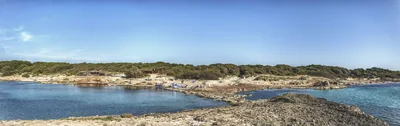 Rocks and cliffsPunta della SuinaTwo small sandy bays among low dunes, pine wood and rocks, facing the Scoglio Tondo, in the Punta Pizzo park.Free · 2 beach clubs Excellent water Blue Flag town Protected area Gallipoli · Ionian 3.8 km away
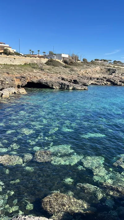 Rocks and cliffsCapilungoCoast of low rocks and small bays, all free and easy to reach, from the Pilella to the Sinfonò tower.Free Excellent water Alliste · Ionian 6.6 km away
Sources and licences
The data comes from public sources; before swimming check the signs and the town’s bathing ordinances.
- ARPA Puglia – Monitoraggio delle acque di balneazione (CC BY 4.0)
- Regione Puglia – Aree di balneazione e classificazione 2024 (CC BY 4.0)
- Regione Puglia – Piano Regionale delle Coste (SIT Puglia) (CC BY 4.0)
- © OpenStreetMap contributors (ODbL 1.0)
- Regione Puglia – Ricognizione dei Piani comunali delle coste (A.D. 142/2025, SIT Puglia) (CC BY 4.0)
- Pugliapromozione – DMS Puglia, open data (stabilimenti balneari, luoghi di interesse) (CC BY 4.0)
- Wikimedia Commons (foto: autore e licenza su ogni foto) (CC0, PD, CC BY, CC BY-SA)
- salentosagreeventi.it – luoghi (foto e testi già pubblicati) (come indicato sulle foto)
- Wind forecast: MET Norway (CC BY 4.0).
- Photos: — · Regione Puglia
- Photos: DrTrumpet, CC BY 3.0 · Wikimedia Commons
- Photos: DrTrumpet, CC BY 3.0 · Wikimedia Commons
- Data updated: Sunday, 25 October 2026.