
The beach at a glance
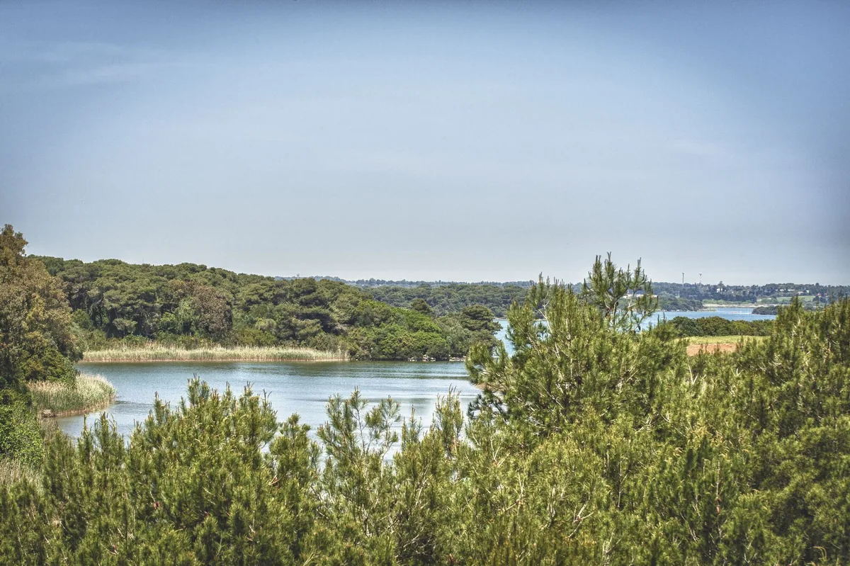
Long beach of very fine sand with high dunes, pine wood and shallow water, in front of the Alimini lakes, with beach clubs and free stretches.
- Type of coast
- Sand
- Sand 4,067 m
- Rocks 131 m
- Cliff 132 m
- Man-made 103 m
- Length
- 4,540 m
- Seafront
- 53% free
- 2,395 m free2,145 m leased to beach clubs
- Water quality
- Excellent · classification 2024
- Off season: latest samples of the 2026 season
- ARPA bathing areas:
- VILLAGGIO VALTUR-A NORD SCARICOExcellentTue 7 Jul: within limits
- VILLAGGIO VALTUR-A SUD SCARICOExcellentTue 7 Jul: within limits
- SERRA DEGLI ALIMINI-A SUD SCARICOExcellentTue 7 Jul: within limits
- SERRA DEGLI ALIMINI A NORD SCARICOExcellentTue 7 Jul: within limits
3 more areas
- LAGHI ALIMINI-COLONIA TRIESTEExcellentTue 7 Jul: within limits
- FOCE LAGO ALIMINI GRANDEExcellentTue 7 Jul: within limits
- LIDO DEI PINIExcellentTue 7 Jul: within limits
- Natura 2000 network
- ZSC Alimini (IT9150011)
- Coastal erosion
- high
About the beach
The Alimini beach is a long stretch of very fine sand, over four kilometres in this section, from the holiday village area in the north to the mouth of the Alimini Grande and beyond, to the south. It is separated from the lakes behind, where swimming is not allowed, by the pine wood and a chain of dunes that in places reaches twelve metres in height.
The water is a clear green-blue and the very shallow seabed is ideal for children. There are about twenty beach clubs, taking up about half the beachfront; in the northern part they alternate with a campsite, holiday villages and wide stretches of free beach. Some have a bar, restaurant, services for children or a JOB chair. Open to almost every wind, the coast is popular with surfers. It is part of the Alimini Natura 2000 site.
Next to the woods there are organised car parks: from there you reach the beach in a few minutes along the footpaths or by shuttle bus. The beach faces east: with north (tramontana), south (ostro), south-west (libeccio), west (ponente) and north-west (maestrale) winds it is sheltered, with north-east (grecale), east (levante) and south-east (scirocco) winds the sea gets rough. The dunes are subject to severe erosion: please respect them.
On the map
Stretch of beachBeach club
Beach clubs
On this stretch of beach or less than 300 m away.
Serra Alimini 2
Altair Beach
Serra Alimini 1
I Due Mori
Bar · Ristorante · Cassaforte / cassette di sicurezza · Punto ristoro
- Pets allowed
Ficodindia
Lido Acqua Chiara
- Services for people with disabilities: sedia JOB
15 more beach clubs
Lido Tropea
- Services for people with disabilities: parcheggi riservati
Riva del Sole
Lido Le Dune
2 Laghi
Ristorante · Bar
- Services for people with disabilities: sedia JOB
- Parking
Bagno Lucia
- Services for people with disabilities: carrozzine
- Parking
Lido Universo
Bar · Punto ristoro · Servizi per bambini (es. baby sitting)
- Services for people with disabilities: sedia JOB
- Pets allowed
- Parking
Kum
Coco Bay
Balnearea
Lido Aeronautica Militare
Lido dei Pini
Lido Sirena
Bahia Beach
Spiaggia Azzurra
Aqua Speed
Events nearby
In the coming days within 5 km.
No events within 5 km in the coming days.
Things to see nearby
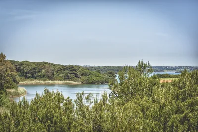 Sea and cavesAliminiAlimini beach, in Otranto, with its really fine sand, the dunes, the
shallow water and the transparent sea surrounded by the pine forest, is the
background for children’s games and for surfers’ performances. Otranto very close
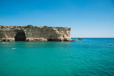 Sea and cavesBaia dei TurchiIn the bay where the Saracens landed in 1480, to conquer Otranto, nowadays
there is white sand, lapped by a dreamy sea and embellished with the
scented pine forest and the Mediterranean scrub. Otranto 2 km away
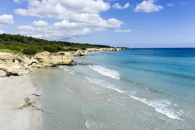 Sea and cavesFrassanitoThe beach of Frassanito, swept by winds, with its fine sand and the rocks
dropping sheer into the sea, is the perfect oasis for families, but also
for those who love water sports. Otranto 3.1 km away
Beaches nearby
- MixedBaia dei TurchiWhite sand set in the rock among pine wood and scrub, with small bays up to the Alimini and the little cove of Toraiello.Beach clubs Excellent water Natura 2000 Otranto · Adriatic 2.4 km away
- SandFrassanitoBeach of very fine white sand between high dunes and pine wood, with beach clubs and free stretches, loved by surfers and kiters.Free · 2 beach clubs Excellent water Natura 2000 Otranto · Adriatic 2.7 km away
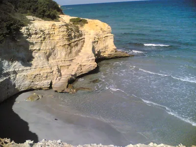 SandConca SpecchiullaCliffs with stretches of sand and dunes between Torre Sant'Andrea and Frassanito, almost all free, with only one beach club.Free · 1 beach club Excellent water Natura 2000 Otranto · Adriatic 3.5 km away
- Rocks and cliffsTorre Santo StefanoCliffs and rocks with small coves between the Baia dei Turchi and Otranto, from Vigna Vecchia to Mulino d'Acqua, with no sand.1 beach club Excellent water Natura 2000 Otranto · Adriatic 4.6 km away
Sources and licences
The data comes from public sources; before swimming check the signs and the town’s bathing ordinances.
- ARPA Puglia – Monitoraggio delle acque di balneazione (CC BY 4.0)
- Regione Puglia – Aree di balneazione e classificazione 2024 (CC BY 4.0)
- Regione Puglia – Piano Regionale delle Coste (SIT Puglia) (CC BY 4.0)
- © OpenStreetMap contributors (ODbL 1.0)
- Regione Puglia – Ricognizione dei Piani comunali delle coste (A.D. 142/2025, SIT Puglia) (CC BY 4.0)
- Regione Puglia – Perimetrazione dei siti Natura 2000 (12/2023) (CC BY 4.0)
- Pugliapromozione – DMS Puglia, open data (stabilimenti balneari, luoghi di interesse) (CC BY 4.0)
- Wikimedia Commons (foto: autore e licenza su ogni foto) (CC0, PD, CC BY, CC BY-SA)
- salentosagreeventi.it – luoghi (foto e testi già pubblicati) (come indicato sulle foto)
- Wind forecast: MET Norway (CC BY 4.0).
- Photos: Leonardo D'Angelo · Regione Puglia
- Photos: Falk2, CC BY-SA 4.0 · Wikimedia Commons
- Photos: Carlo Pelagalli, CC BY-SA 3.0 · Wikimedia Commons
- Photos: Falk2, CC BY-SA 4.0 · Wikimedia Commons
- Photos: Falk2, CC BY-SA 4.0 · Wikimedia Commons
- Data updated: Sunday, 25 October 2026.