
The beach at a glance
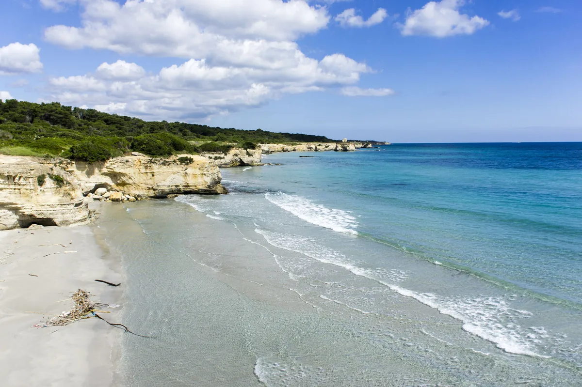
Beach of very fine white sand between high dunes and pine wood, with beach clubs and free stretches, loved by surfers and kiters.
- Type of coast
- Sand
- Sand 990 m
- Rocks 172 m
- Length
- 1,162 m
- Seafront
- 71% free
- 822 m free340 m leased to beach clubs
- Water quality
- Excellent · classification 2024
- Off season: latest samples of the 2026 season
- ARPA bathing areas:
- CAMPING FRASSANITO-A NORD SCARICOExcellentTue 7 Jul: within limits
- CAMPING FRASSANITO-A SUD SCARICOExcellentTue 7 Jul: within limits
- Natura 2000 network
- ZSC Alimini (IT9150011)
- Coastal erosion
- medium
About the beach
Frassanito is just over a kilometre of very fine white sand, backed by high dunes along its whole length and reached by crossing the Mediterranean scrub. Behind the dunes there is a thick pine wood where you can shelter in the shade. About 70% of the seafront is free and there are two beach clubs.
The seabed is mixed, sand and flat rocks, and drops fairly quickly: with children it is best to stay near the shore. The channels that carry water from the lakes into the sea make the seabed a good habitat for sea bass and striped sea bream. The brisk wind makes Frassanito a favourite with surfers, windsurfers and kitesurfers; nearby there are campsites and agriturismi. It is part of the Alimini Natura 2000 site.
The nearest car park is a few hundred metres from the beach. The coast faces east: with north (tramontana), south (ostro), south-west (libeccio), west (ponente) and north-west (maestrale) winds it is sheltered, while with north-east (grecale), east (levante) and south-east (scirocco) winds the sea gets rough.
On the map
Stretch of beachBeach club
Beach clubs
On this stretch of beach or less than 300 m away.
Events nearby
In the coming days within 5 km.
No events within 5 km in the coming days.
Things to see nearby
Beaches nearby
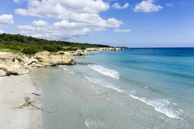
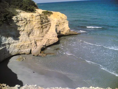 SandConca SpecchiullaCliffs with stretches of sand and dunes between Torre Sant'Andrea and Frassanito, almost all free, with only one beach club.Free · 1 beach club Excellent water Natura 2000 Otranto · Adriatic very close
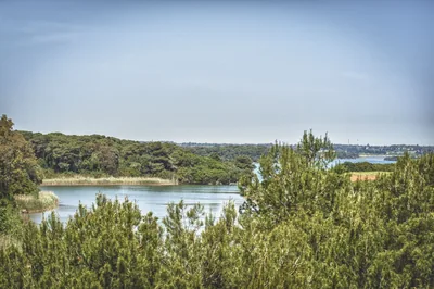 SandAliminiLong beach of very fine sand with high dunes, pine wood and shallow water, in front of the Alimini lakes, with beach clubs and free stretches.Free · 21 beach clubs Excellent water Natura 2000 Otranto · Adriatic 2.7 km away
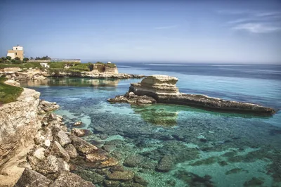 Rocks and cliffsTorre Sant'AndreaJagged limestone rock with sea stacks, small caves and a tiny beach in the minute harbour, below the chequered lighthouse.Free Excellent water Blue Flag town Melendugno · Adriatic 3.4 km away
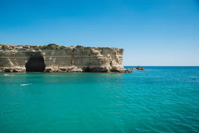 MixedBaia dei TurchiWhite sand set in the rock among pine wood and scrub, with small bays up to the Alimini and the little cove of Toraiello.Beach clubs Excellent water Natura 2000 Otranto · Adriatic 4.8 km away
Sources and licences
The data comes from public sources; before swimming check the signs and the town’s bathing ordinances.
- ARPA Puglia – Monitoraggio delle acque di balneazione (CC BY 4.0)
- Regione Puglia – Aree di balneazione e classificazione 2024 (CC BY 4.0)
- Regione Puglia – Piano Regionale delle Coste (SIT Puglia) (CC BY 4.0)
- © OpenStreetMap contributors (ODbL 1.0)
- Regione Puglia – Ricognizione dei Piani comunali delle coste (A.D. 142/2025, SIT Puglia) (CC BY 4.0)
- Regione Puglia – Perimetrazione dei siti Natura 2000 (12/2023) (CC BY 4.0)
- salentosagreeventi.it – luoghi (foto e testi già pubblicati) (come indicato sulle foto)
- Wind forecast: MET Norway (CC BY 4.0).
- Photos: — · Regione Puglia
- Data updated: Sunday, 25 October 2026.