
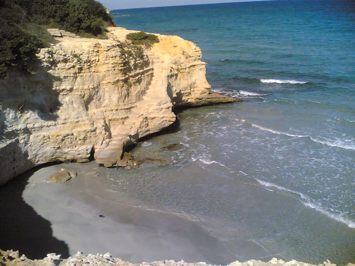
The beach at a glance
Cliffs with stretches of sand and dunes between Torre Sant'Andrea and Frassanito, almost all free, with only one beach club.
- Type of coast
- Sand
- Sand 555 m
- Rocks 185 m
- Cliff 375 m
- Length
- 1,115 m
- Seafront
- 84% free
- 942 m free173 m leased to beach clubs
- Water quality
- Excellent · classification 2024
- Off season: latest samples of the 2026 season
- Latest samples:
- Tue 7 Jul: within limits
- Tue 9 Jun: within limits
- Tue 12 May: within limits
- Thu 16 Apr: within limits
- Natura 2000 network
- ZSC Alimini (IT9150011)
- Coastal erosion
- medium
About the beach
Conca Specchiulla is a stretch of coast just over a kilometre long between Torre Sant'Andrea and Frassanito, in the municipality of Otranto. It alternates cliffs and rocks with sand, which covers about 550 metres, with dunes behind. The seafront is largely free and there is only one beach club.
To the north the coast continues with the jagged rock, sea stacks and small caves of Torre Sant'Andrea; to the south opens the sandy beach and dunes of Frassanito. The sandy stretches are fine for children too, while where there are cliffs you walk down to the sea among the rocks and need water shoes. It is part of the Alimini Natura 2000 site.
There are car parks close to the coast. The coast faces north-east: with south-east (scirocco), south (ostro), south-west (libeccio), west (ponente) and north-west (maestrale) winds it is sheltered, with north (tramontana), north-east (grecale) and east (levante) winds the sea gets rough.
On the map
Stretch of beachBeach club
Beach clubs
On this stretch of beach or less than 300 m away.
VOI Hotels Bravo Daniela
Events nearby
In the coming days within 5 km.
No events within 5 km in the coming days.
Things to see nearby
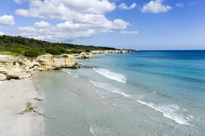 Sea and cavesFrassanitoThe beach of Frassanito, swept by winds, with its fine sand and the rocks
dropping sheer into the sea, is the perfect oasis for families, but also
for those who love water sports. Otranto very close
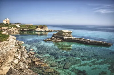 Sea and cavesTorre Sant'AndreaTorre Sant’Andrea, with its sea stacks, small coves and the jagged coast,
offers a wild and unspoiled landscape. Melendugno 2.1 km away
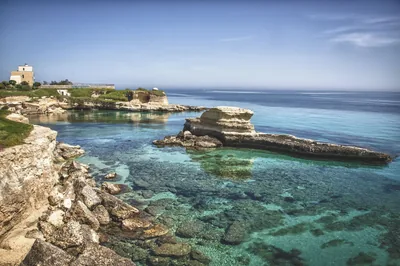 Castles, towers and palacesSant'Andrea di Missipezza LighthouseCharacteristic lighthouse daltura located in SantAndrea, marina of
Melendugno. Melendugno 2.2 km away
Beaches nearby
- SandFrassanitoBeach of very fine white sand between high dunes and pine wood, with beach clubs and free stretches, loved by surfers and kiters.Free · 2 beach clubs Excellent water Natura 2000 Otranto · Adriatic very close
- Rocks and cliffsTorre Sant'AndreaJagged limestone rock with sea stacks, small caves and a tiny beach in the minute harbour, below the chequered lighthouse.Free Excellent water Blue Flag town Melendugno · Adriatic 2.5 km away
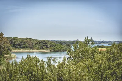 SandAliminiLong beach of very fine sand with high dunes, pine wood and shallow water, in front of the Alimini lakes, with beach clubs and free stretches.Free · 21 beach clubs Excellent water Natura 2000 Otranto · Adriatic 3.5 km away
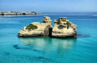 SandTorre dell'OrsoCrescent bay of very fine white sand between the tower and the cliff, with pine wood and dunes behind and the Due Sorelle offshore.8 beach clubs Excellent water Blue Flag town Natura 2000 Melendugno · Adriatic 4.2 km away
Sources and licences
The data comes from public sources; before swimming check the signs and the town’s bathing ordinances.
- ARPA Puglia – Monitoraggio delle acque di balneazione (CC BY 4.0)
- Regione Puglia – Aree di balneazione e classificazione 2024 (CC BY 4.0)
- Regione Puglia – Piano Regionale delle Coste (SIT Puglia) (CC BY 4.0)
- © OpenStreetMap contributors (ODbL 1.0)
- Regione Puglia – Ricognizione dei Piani comunali delle coste (A.D. 142/2025, SIT Puglia) (CC BY 4.0)
- Regione Puglia – Perimetrazione dei siti Natura 2000 (12/2023) (CC BY 4.0)
- Wikimedia Commons (foto: autore e licenza su ogni foto) (CC0, PD, CC BY, CC BY-SA)
- Wind forecast: MET Norway (CC BY 4.0).
- Photos: Freddyballo, CC BY-SA 3.0 · Wikimedia Commons
- Data updated: Sunday, 25 October 2026.