
Beaches in Manduria
Sand or rocks, free or with beach clubs, on the Adriatic or the Ionian: for every beach the water quality, the services and which winds leave it calm. Check today’s wind and pick the right coast.
4 beaches · Clear
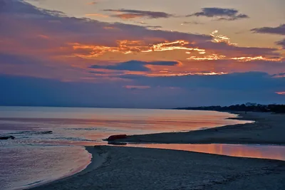 SandSan Pietro in BevagnaBeach of soft sand over four kilometres long, almost all free, with shallow water and the sanctuary of San Pietro.Free · 2 beach clubs Excellent water Blue Flag town Natura 2000 Manduria · Ionian
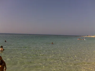 SandTorre BorracoSandy beach, all free, about two kilometres long, with a ridge of dunes behind, towards the Borraco river.Free Excellent water Blue Flag town Natura 2000 Manduria · Ionian
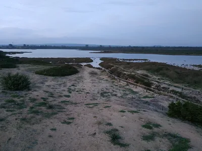 SandTorre ColimenaBay of soft sand, all free, with rocky shore towards the tower and the Salina dei Monaci behind, in a nature reserve.Free Excellent water Blue Flag town Protected area Manduria · Ionian
- SandSpecchiaricaBeach of fine sand behind the dunes, all free, from the Corsica area to the mouth of the Chidro, with shallow water.Free Excellent water Blue Flag town Natura 2000 Manduria · Ionian
Wind forecast by MET Norway (CC BY 4.0), for central Salento. Sources and licences: ARPA Puglia – Monitoraggio delle acque di balneazione (CC BY 4.0) · Regione Puglia – Aree di balneazione e classificazione 2024 (CC BY 4.0) · Regione Puglia – Piano Regionale delle Coste (SIT Puglia) (CC BY 4.0) · Regione Puglia – Ricognizione dei Piani comunali delle coste (A.D. 142/2025, SIT Puglia) (CC BY 4.0) · Regione Puglia – Parchi e riserve naturali (rev. 11/2022) (CC BY 4.0) · Regione Puglia – Perimetrazione dei siti Natura 2000 (12/2023) (CC BY 4.0) · Pugliapromozione – DMS Puglia, open data (stabilimenti balneari, luoghi di interesse) (CC BY 4.0) · © OpenStreetMap contributors (ODbL 1.0) · Wikimedia Commons (foto: autore e licenza su ogni foto) (CC0, PD, CC BY, CC BY-SA) · salentosagreeventi.it – luoghi (foto e testi già pubblicati) (come indicato sulle foto) · FEE Italia – Bandiera Blu 2026 (dato pubblico (elenco dei comuni premiati))