
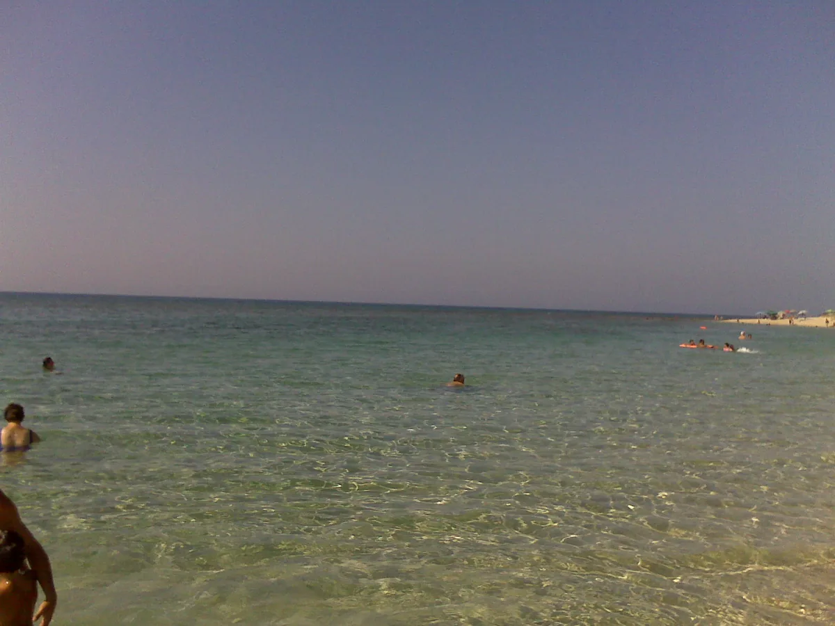
The beach at a glance
Sandy beach, all free, about two kilometres long, with a ridge of dunes behind, towards the Borraco river.
- Type of coast
- Sand
- Sand 1,798 m
- Rocks 212 m
- Length
- 2,010 m
- Seafront
- 100% free
- 2,010 m free0 m leased to beach clubs
- Water quality
- Excellent · classification 2024
- Off season: latest samples of the 2026 season
- Latest samples:
- Tue 14 Jul: within limits
- Tue 16 Jun: within limits
- Tue 19 May: within limits
- Tue 21 Apr: within limits
- Blue Flag town
- Manduria has the Blue Flag this year
- Natura 2000 network
- ZSC Duna di Campomarino (IT9130003)
- Coastal erosion
- medium
About the beach
Torre Borraco is a stretch of the Manduria coast about two kilometres long, almost all sand, with a short stretch of rock. The beach is entirely free and there are no beach clubs: it is a place for those looking for space and peace and quiet, where you bring your own sunshade and water.
Behind the shore a ridge of dunes runs along its whole length. The name recalls the Borraco, the stream that, together with the Chidro, marks the boundaries of the San Pietro in Bevagna coast, whose long sandy beach begins not far away. On the dunes, walk only along the paths, because the coastline is affected by erosion.
There are a few car parks a few steps from the beach. Facing south, it is sheltered with the northerly winds, that is north (tramontana), north-east (grecale) and north-west (maestrale), and also with east (levante) and west (ponente) winds; with south-east (scirocco), south (ostro) and south-west (libeccio) winds the sea gets rough. Manduria is a Blue Flag municipality. It is part of the Duna di Campomarino Natura 2000 site.
On the map
Stretch of beach
Events nearby
In the coming days within 5 km.
No events within 5 km in the coming days.
Things to see nearby
Beaches nearby
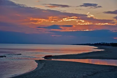 SandSan Pietro in BevagnaBeach of soft sand over four kilometres long, almost all free, with shallow water and the sanctuary of San Pietro.Free · 2 beach clubs Excellent water Blue Flag town Natura 2000 Manduria · Ionian 3.1 km away
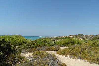 SandDune di CampomarinoLong beaches of pale sand, almost all free, below the high dunes of the Campomarino park, east of the village.Free · 1 beach club Excellent water Blue Flag town Natura 2000 Maruggio · Ionian 3.5 km away
- SandSpecchiaricaBeach of fine sand behind the dunes, all free, from the Corsica area to the mouth of the Chidro, with shallow water.Free Excellent water Blue Flag town Natura 2000 Manduria · Ionian 6.2 km away
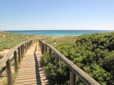 SandCampomarinoThe village beach west of the small harbour: pale sand, almost all free, and shallow water, below the Torre Moline.Free · beach clubs Excellent water Blue Flag town Natura 2000 Maruggio · Ionian 6.9 km away
Sources and licences
The data comes from public sources; before swimming check the signs and the town’s bathing ordinances.
- ARPA Puglia – Monitoraggio delle acque di balneazione (CC BY 4.0)
- Regione Puglia – Aree di balneazione e classificazione 2024 (CC BY 4.0)
- Regione Puglia – Piano Regionale delle Coste (SIT Puglia) (CC BY 4.0)
- © OpenStreetMap contributors (ODbL 1.0)
- Regione Puglia – Ricognizione dei Piani comunali delle coste (A.D. 142/2025, SIT Puglia) (CC BY 4.0)
- Regione Puglia – Perimetrazione dei siti Natura 2000 (12/2023) (CC BY 4.0)
- Wikimedia Commons (foto: autore e licenza su ogni foto) (CC0, PD, CC BY, CC BY-SA)
- FEE Italia – Bandiera Blu 2026 (dato pubblico (elenco dei comuni premiati))
- Wind forecast: MET Norway (CC BY 4.0).
- Photos: Umbria ws, CC BY-SA 3.0 · Wikimedia Commons
- Photos: Umbria ws, CC BY-SA 3.0 · Wikimedia Commons
- Photos: Umbria ws, CC BY-SA 3.0 · Wikimedia Commons
- Photos: Umbria ws, CC BY-SA 3.0 · Wikimedia Commons
- Photos: Andreafistetto, CC BY 4.0 · Wikimedia Commons
- Data updated: Sunday, 25 October 2026.