
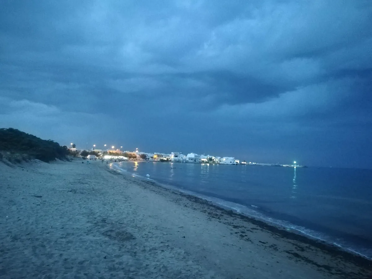
The beach at a glance
Long sandy beaches with dunes and a few rocks in the seaside district of Torchiarolo, almost all free.
- Type of coast
- Sand
- Sand 1,443 m
- Rocks 346 m
- Cliff 120 m
- Man-made 451 m
- Length
- 2,359 m
- Seafront
- 94% free
- 1,993 m free117 m leased to beach clubs
- Water quality
- Excellent · classification 2024
- Off season: latest samples of the 2026 season
- ARPA bathing areas:
- TORRE S GENNARO LIDO S GENNAROExcellentTue 14 Jul: within limits
- TORRE S GENNARO LIDO PRESEPEExcellentTue 14 Jul: within limits
- Coastal erosion
- high
About the beach
Torre San Gennaro is the seaside district of Torchiarolo: over two kilometres of coast with long sandy stretches, partly backed by dunes and Mediterranean scrub, alternating with rocks and short low ridges. The beachfront is almost all free, with a few stretches with facilities.
The village takes its name from a 16th-century coastal tower, no longer visible today, which communicated by sight with Torre Mattarelle to the north and Torre Specchiolla to the south. In the early 20th century the first fishing families settled around the tower. In 2020 a monk seal pup was rescued on the beach.
The nearest car park is a few hundred metres away. This coast is highly exposed to erosion: the dunes are fragile and should be left alone. On the rocks you will need water shoes. The beach faces north-east: with north (tramontana), north-east (grecale) and east (levante) winds the sea gets rough, with south-east (scirocco), south (ostro), south-west (libeccio), west (ponente) and north-west (maestrale) winds it is sheltered.
On the map
Stretch of beach
Events nearby
In the coming days within 5 km.
No events within 5 km in the coming days.
Things to see nearby
Beaches nearby
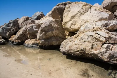 SandCampo di MareThe seaside district of San Pietro Vernotico: a largely free sandy beach, with stretches of high coast and a few beach clubs.Free · 3 beach clubs Excellent water San Pietro Vernotico · Adriatic 1.2 km away
- SandLendinusoContinuous sandy beach backed by dunes, from Lendinuso to the Canuta area, almost all free.Free · beach clubs Excellent water Torchiarolo · Adriatic 2.4 km away
- SandCeranoSandy beach below the cliffs, at the foot of the Bosco di Cerano reserve, south of Brindisi.Free · 1 beach club Excellent water Protected area Brindisi · Adriatic 3.8 km away
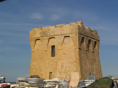 SandCasalabateFour kilometres of sand with dunes and low rocky shore, almost all free, from Masseria Romatelle to Torre Specchiolla.Free · 2 beach clubs Excellent water Blue Flag town Lecce · Adriatic 4.8 km away
Sources and licences
The data comes from public sources; before swimming check the signs and the town’s bathing ordinances.
- ARPA Puglia – Monitoraggio delle acque di balneazione (CC BY 4.0)
- Regione Puglia – Aree di balneazione e classificazione 2024 (CC BY 4.0)
- Regione Puglia – Piano Regionale delle Coste (SIT Puglia) (CC BY 4.0)
- © OpenStreetMap contributors (ODbL 1.0)
- Regione Puglia – Ricognizione dei Piani comunali delle coste (A.D. 142/2025, SIT Puglia) (CC BY 4.0)
- Wikimedia Commons (foto: autore e licenza su ogni foto) (CC0, PD, CC BY, CC BY-SA)
- salentosagreeventi.it – luoghi (foto e testi già pubblicati) (come indicato sulle foto)
- Wind forecast: MET Norway (CC BY 4.0).
- Photos: Frecciaverde, CC BY-SA 4.0 · Wikimedia Commons
- Photos: Frecciaverde, CC BY-SA 4.0 · Wikimedia Commons
- Data updated: Sunday, 25 October 2026.