
The beach at a glance
Sandy beach below the cliffs, at the foot of the Bosco di Cerano reserve, south of Brindisi.
- Type of coast
- Sand
- Sand 258 m
- Cliff 13 m
- Man-made 100 m
- Length
- 370 m
- Seafront
- 100% free
- 370 m free0 m leased to beach clubs
- Water quality
- Excellent · classification 2024
- Off season: latest samples of the 2026 season
- ARPA bathing areas:
- CERANO - SC.CENT.LE BR S. 500 MT NORDExcellentTue 14 Jul: within limits
- CERANO - SC. CENT.LE BR S. 500 MT SUDExcellentTue 14 Jul: within limits
- CERANO - LIDO CERANOExcellentTue 14 Jul: within limits
- Protected area
- Riserva naturale regionale orientata Bosco di Cerano
- Natura 2000 network
- ZSC Bosco Tramazzone (IT9140001)
- Coastal erosion
- medium
About the beach
At Cerano, on the coast south of Brindisi, the sandy beach stretches out at the foot of a cliff. There are free stretches and one beach club.
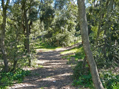
Behind it lies the Bosco di Cerano regional nature reserve, also called Tramazzone, between Brindisi and San Pietro Vernotico. The regional records describe it as the last remnant of the forest that once covered much of the coast, with holm oaks, elms and hop hornbeams; some sixty species of birds live there. Rules protecting plants and wildlife apply in the reserve. It is part of the Bosco Tramazzone Natura 2000 site.
The nearest car park is about a kilometre away: you get there on foot and walk down from the cliff. According to the data the beach is suitable for families. The coast is subject to erosion: best not to linger beneath the cliffs. The beach faces north-east: with north (tramontana), north-east (grecale) and east (levante) winds the sea gets rough, with south-east (scirocco), south (ostro), south-west (libeccio), west (ponente) and north-west (maestrale) winds it is sheltered.
On the map
Stretch of beachBeach club
Beach clubs
On this stretch of beach or less than 300 m away.
C-Beach
Events nearby
In the coming days within 5 km.
No events within 5 km in the coming days.
Things to see nearby
Beaches nearby
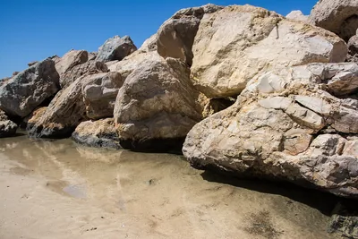 SandCampo di MareThe seaside district of San Pietro Vernotico: a largely free sandy beach, with stretches of high coast and a few beach clubs.Free · 3 beach clubs Excellent water San Pietro Vernotico · Adriatic 2.6 km away
- MixedLe SalinelleCoast of low cliffs and pebbles south of the port of Brindisi, in the Salina di Punta della Contessa park.Free Excellent water Protected area Brindisi · Adriatic 2.9 km away
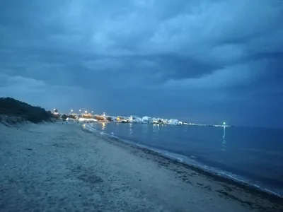 SandTorre San GennaroLong sandy beaches with dunes and a few rocks in the seaside district of Torchiarolo, almost all free.Free · beach clubs Excellent water Torchiarolo · Adriatic 3.8 km away
- SandLendinusoContinuous sandy beach backed by dunes, from Lendinuso to the Canuta area, almost all free.Free · beach clubs Excellent water Torchiarolo · Adriatic 6.1 km away
Sources and licences
The data comes from public sources; before swimming check the signs and the town’s bathing ordinances.
- ARPA Puglia – Monitoraggio delle acque di balneazione (CC BY 4.0)
- Regione Puglia – Aree di balneazione e classificazione 2024 (CC BY 4.0)
- Regione Puglia – Piano Regionale delle Coste (SIT Puglia) (CC BY 4.0)
- © OpenStreetMap contributors (ODbL 1.0)
- Regione Puglia – Ricognizione dei Piani comunali delle coste (A.D. 142/2025, SIT Puglia) (CC BY 4.0)
- Regione Puglia – Parchi e riserve naturali (rev. 11/2022) (CC BY 4.0)
- Regione Puglia – Perimetrazione dei siti Natura 2000 (12/2023) (CC BY 4.0)
- Wind forecast: MET Norway (CC BY 4.0).
- Data updated: Sunday, 25 October 2026.