
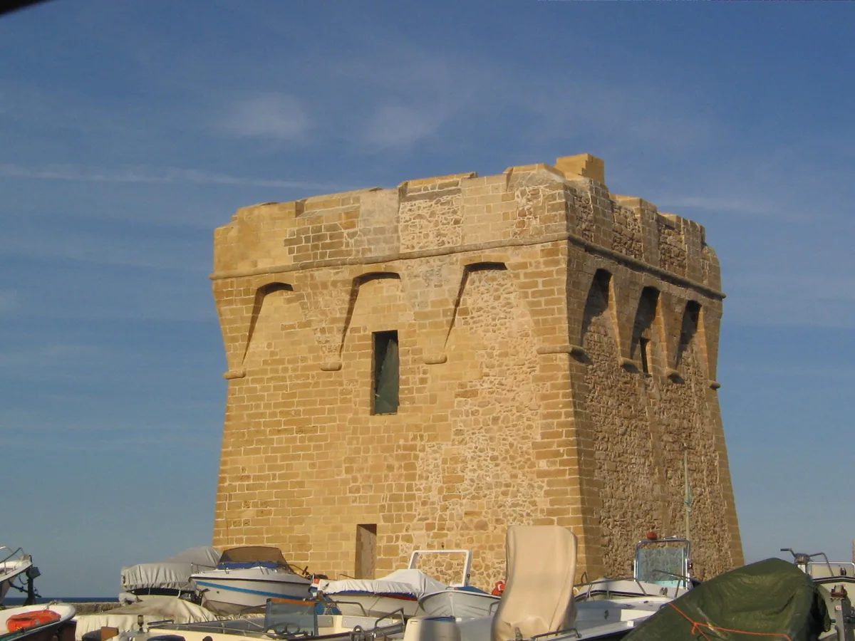
The beach at a glance
Four kilometres of sand with dunes and low rocky shore, almost all free, from Masseria Romatelle to Torre Specchiolla.
- Type of coast
- Sand
- Sand 2,404 m
- Rocks 1,721 m
- Man-made 144 m
- Length
- 4,269 m
- Seafront
- 82% free
- 2,773 m free605 m leased to beach clubs
- Water quality
- Excellent · classification 2024
- Off season: latest samples of the 2026 season
- ARPA bathing areas:
- CASALABATE,LOC.MASSERIA ROMATELLEExcellentMon 6 Jul: within limits
- CASALABATE,500 MT S.TORRE SPECCHIOLLAExcellentMon 6 Jul: within limits
- CASALABATE,SPIAGGIAExcellentMon 6 Jul: within limits
- Blue Flag town
- Lecce has the Blue Flag this year
- Coastal erosion
- medium
About the beach
Casalabate is a stretch of coastline over four kilometres long, split almost evenly between sand and low rocky shore. It includes the Masseria Romatelle beach, the rocky shore of Torre Specchiolla and the village beach, with a long stretch of dunes behind the sand. About four fifths of the seafront are free and there are only a couple of beach clubs.
In front of the small harbour the water is shallow and a few rocks break the surface: on the rock, water shoes are best. On the sandy stretches the water stays shallow near the shore, easy for families with children. Parking is no problem: there are car parks close to the coast, the nearest practically on the beach.
The coast faces north-east: with south-east (scirocco), south (ostro), south-west (libeccio), west (ponente) and north-west (maestrale) winds it is sheltered, while north (tramontana), north-east (grecale) and east (levante) winds make the sea rough. Lecce is a Blue Flag municipality.
On the map
Stretch of beachBeach club
Beach clubs
On this stretch of beach or less than 300 m away.
Q 70
- Services for people with disabilities: sedia JOB
Lido Exotic
- Services for people with disabilities: sedia JOB
- Pets allowed
- Parking
Events nearby
In the coming days within 5 km.
No events within 5 km in the coming days.
Things to see nearby
Beaches nearby
- SandLendinusoContinuous sandy beach backed by dunes, from Lendinuso to the Canuta area, almost all free.Free · beach clubs Excellent water Torchiarolo · Adriatic 2.5 km away
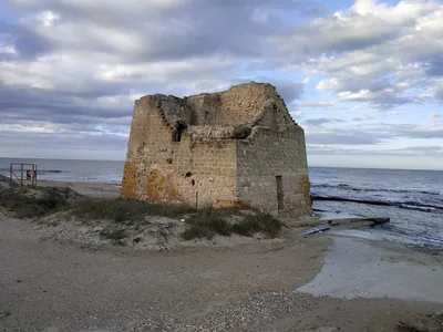 SandTorre RinaldaAlmost four kilometres of sand fringed by dunes, largely free, in the Bosco e paludi di Rauccio park.Free · 1 beach club Excellent water Blue Flag town Protected area Lecce · Adriatic 3.6 km away
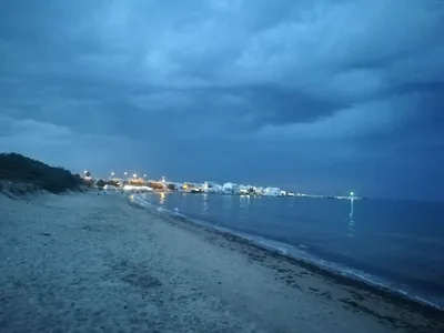 SandTorre San GennaroLong sandy beaches with dunes and a few rocks in the seaside district of Torchiarolo, almost all free.Free · beach clubs Excellent water Torchiarolo · Adriatic 4.8 km away
- SandSpiaggiabellaTwo kilometres of sand and dunes, almost all free, in the Rauccio park, between Torre Rinalda and Torre Chianca.Free · 2 beach clubs Excellent water Blue Flag town Protected area Lecce · Adriatic 5.9 km away
Sources and licences
The data comes from public sources; before swimming check the signs and the town’s bathing ordinances.
- ARPA Puglia – Monitoraggio delle acque di balneazione (CC BY 4.0)
- Regione Puglia – Aree di balneazione e classificazione 2024 (CC BY 4.0)
- Regione Puglia – Piano Regionale delle Coste (SIT Puglia) (CC BY 4.0)
- © OpenStreetMap contributors (ODbL 1.0)
- Regione Puglia – Ricognizione dei Piani comunali delle coste (A.D. 142/2025, SIT Puglia) (CC BY 4.0)
- Pugliapromozione – DMS Puglia, open data (stabilimenti balneari, luoghi di interesse) (CC BY 4.0)
- Wikimedia Commons (foto: autore e licenza su ogni foto) (CC0, PD, CC BY, CC BY-SA)
- salentosagreeventi.it – luoghi (foto e testi già pubblicati) (come indicato sulle foto)
- FEE Italia – Bandiera Blu 2026 (dato pubblico (elenco dei comuni premiati))
- Wind forecast: MET Norway (CC BY 4.0).
- Photos: — · Regione Puglia
- Photos: Colar, Public domain · Wikimedia Commons
- Photos: Florixc, CC0 · Wikimedia Commons
- Data updated: Sunday, 25 October 2026.