
Rocks and cliffs Blue Flag town Excellent waterFor families
Torre Canne nord
Fasano (BR)· Sea: Adriatic
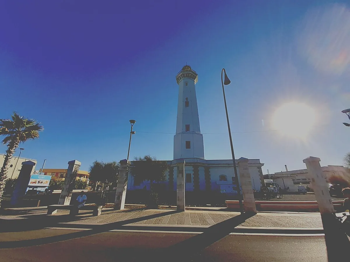
The beach at a glance
Low rocky shore with a few sandy coves north of the Torre Canne lighthouse, largely free.
- Type of coast
- Rocks and cliffs
- Sand 449 m
- Rocks 2,508 m
- Length
- 2,957 m
- Seafront
- 70% free
- 1,299 m free559 m leased to beach clubs
- Water quality
- Excellent · classification 2024
- Off season: latest samples of the 2026 season
- ARPA bathing areas:
- TORRE CANNE NORD PRIMA DI CASE BIANCHEExcellentThu 16 Jul: within limits
- TORRE CANNE NORD PRIMA DELLA CASA GRIGIAExcellentThu 16 Jul: within limits
- TORRE CANNE DI FRONTE AL FAROExcellentThu 16 Jul: within limits
- Blue Flag town
- Fasano has the Blue Flag this year
About the beach
North of the Torre Canne lighthouse the coast turns into low rocky shore: almost three kilometres of flat rock with a few sandy coves. Most of the beachfront is free, with only one beach club, which also has a JOB chair for people with reduced mobility.
The landmark is the lighthouse, an octagonal tower built in the late 1920s and the symbol of the village; it stands where the watchtower that gave the place its name used to be. The remains of a prehistoric village have been documented on the point, and in the village there are the small harbour and the spa fed by spring water.
There are plenty of car parks a short walk away. On the rocks it is best to have water shoes; in the coves the sandy seabed is also suitable for children. This stretch faces north-east: with north (tramontana), north-east (grecale) and east (levante) winds the sea gets choppy, with south-east (scirocco), south (ostro), south-west (libeccio), west (ponente) and north-west (maestrale) winds it is sheltered.
On the map
Stretch of beachBeach club
Beach clubs
On this stretch of beach or less than 300 m away.
Lido
- Services for people with disabilities: sedia JOB
Events nearby
In the coming days within 5 km.
No events within 5 km in the coming days.
Things to see nearby
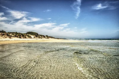 Sea and cavesTorre CanneFine sand, shallow and clear water: the beach of Torre Canne, in the Itria
Valley, is a place full of surprises, where you can combine fun with relax. Fasano 1 km away
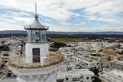 Castles, towers and palacesLighthouse of Torre CanneAn octagonal tower in the heart of Torre Canne, built starting from 1927. Fasano 1 km away
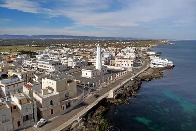 Sea and cavesPorto di Torre CanneTorre Canne has a small fishing port with a paved pier, a jetty and a section of paved shoreline. Fasano 1.1 km away
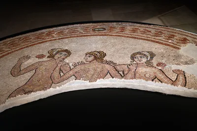 Museums and theatres"Giuseppe Andreassi" National Archaeological Museum of EgnaziaOne of Puglia’s most important archaeological sites is located near Fasano
and it includes the National Museum, which safeguards precious artefacts
dating from the Bronze Age to the Middle Ages. Fasano 1.9 km away
Beaches nearby
- SandTorre CanneThe village's fine sandy beach, from the harbour to the beach clubs, with many free stretches and shallow water for children.Free · 2 beach clubs Excellent water Blue Flag town Protected area Fasano · Adriatic 1.6 km away
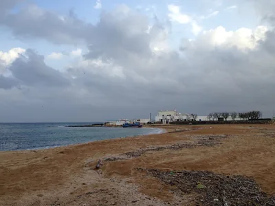 MixedLa ForcatellaLow coast between Savelletri and Torre Canne, with flat rocks and free coves of sand and pebbles, good for families.Free · 1 beach club Excellent water Blue Flag town Fasano · Adriatic 3 km away
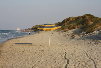 SandTorre Canne sudLong sandy beach among the dunes of the Dune costiere park, almost entirely free, with shallow water and few beach clubs.Free · 3 beach clubs Excellent water Blue Flag town Protected area Fasano · Adriatic 4.1 km away
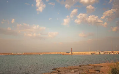 MixedSavelletriLow rocky coast around the fishing village of Savelletri, with a few sandy coves, beach clubs and free stretches.2 beach clubs Excellent water Blue Flag town Fasano · Adriatic 4.8 km away
Sources and licences
The data comes from public sources; before swimming check the signs and the town’s bathing ordinances.
- ARPA Puglia – Monitoraggio delle acque di balneazione (CC BY 4.0)
- Regione Puglia – Aree di balneazione e classificazione 2024 (CC BY 4.0)
- Regione Puglia – Piano Regionale delle Coste (SIT Puglia) (CC BY 4.0)
- © OpenStreetMap contributors (ODbL 1.0)
- Regione Puglia – Ricognizione dei Piani comunali delle coste (A.D. 142/2025, SIT Puglia) (CC BY 4.0)
- Pugliapromozione – DMS Puglia, open data (stabilimenti balneari, luoghi di interesse) (CC BY 4.0)
- Wikimedia Commons (foto: autore e licenza su ogni foto) (CC0, PD, CC BY, CC BY-SA)
- FEE Italia – Bandiera Blu 2026 (dato pubblico (elenco dei comuni premiati))
- Wind forecast: MET Norway (CC BY 4.0).
- Photos: Consuelo.Nardini, CC BY-SA 4.0 · Wikimedia Commons
- Photos: Luce61, CC BY-SA 4.0 · Wikimedia Commons
- Photos: Floliva, CC BY-SA 4.0 · Wikimedia Commons
- Photos: Valey80, CC BY-SA 4.0 · Wikimedia Commons
- Photos: Ronnyrubi17, CC BY-SA 4.0 · Wikimedia Commons
- Data updated: Sunday, 25 October 2026.