
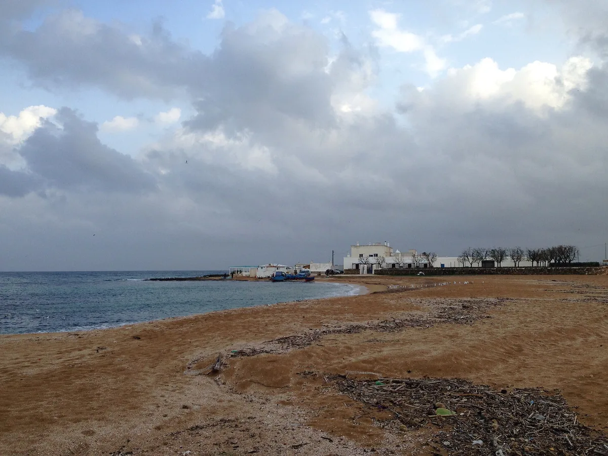
The beach at a glance
Low coast between Savelletri and Torre Canne, with flat rocks and free coves of sand and pebbles, good for families.
- Type of coast
- Mixed
- Sand 325 m
- Pebbles 156 m
- Rocks 1,844 m
- Length
- 2,325 m
- Seafront
- 82% free
- 803 m free180 m leased to beach clubs
- Water quality
- Excellent · classification 2024
- Off season: latest samples of the 2026 season
- ARPA bathing areas:
- SCARICO IMARFA 200 M. NORDExcellentThu 16 Jul: within limits
- SCARICO IMARFA 200. SUDExcellentThu 16 Jul: within limits
- LA FORCATELLA ANTISTANTE L'EDIL MARMIExcellentThu 16 Jul: within limits
- LA FORCATELLA PRIMA DELLA CASA BIANCAExcellentThu 16 Jul: within limits
- Blue Flag town
- Fasano has the Blue Flag this year
About the beach
La Forcatella is the stretch of low coast between Savelletri and Torre Canne: over two kilometres of flat rocks broken up by sandy coves and, in places, pebbly ones. The coves are free; there is only one beach club, facing onto the rocks.
The small harbours of Savelletri and Torre Canne are about two kilometres away, one on each side, and that is where you will find restaurants and services. The regional records also list the Forcatella area as a stopping place for campervans.
The car parks are close to the sea. In the coves the seabed is sandy and slopes gently, which makes it a good place for children too; to move about on the rocks you will need water shoes. Facing north-east, the coast takes the full force of the north (tramontana), north-east (grecale) and east (levante) winds, which raise the waves; with south-east (scirocco), south (ostro), south-west (libeccio), west (ponente) and north-west (maestrale) winds, on the other hand, the sea stays flat and it is the right day to come.
On the map
Stretch of beachBeach club
Beach clubs
On this stretch of beach or less than 300 m away.
Lido Balneare Cala Pescatore
Events nearby
In the coming days within 5 km.
No events within 5 km in the coming days.
Things to see nearby
Beaches nearby
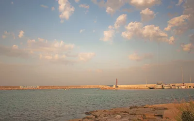 MixedSavelletriLow rocky coast around the fishing village of Savelletri, with a few sandy coves, beach clubs and free stretches.2 beach clubs Excellent water Blue Flag town Fasano · Adriatic 1.8 km away
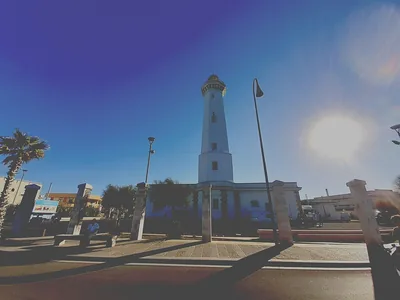 Rocks and cliffsTorre Canne nordLow rocky shore with a few sandy coves north of the Torre Canne lighthouse, largely free.Free · 1 beach club Excellent water Blue Flag town Fasano · Adriatic 3 km away
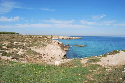 Rocks and cliffsEgnaziaLow rocky shore with small sandy coves below the Egnazia archaeological area, with free stretches and one beach club.Free · 1 beach club Excellent water Blue Flag town Fasano · Adriatic 4.1 km away
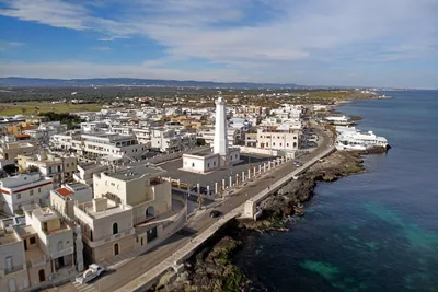 SandTorre CanneThe village's fine sandy beach, from the harbour to the beach clubs, with many free stretches and shallow water for children.Free · 2 beach clubs Excellent water Blue Flag town Protected area Fasano · Adriatic 4.5 km away
Sources and licences
The data comes from public sources; before swimming check the signs and the town’s bathing ordinances.
- ARPA Puglia – Monitoraggio delle acque di balneazione (CC BY 4.0)
- Regione Puglia – Aree di balneazione e classificazione 2024 (CC BY 4.0)
- Regione Puglia – Piano Regionale delle Coste (SIT Puglia) (CC BY 4.0)
- © OpenStreetMap contributors (ODbL 1.0)
- Regione Puglia – Ricognizione dei Piani comunali delle coste (A.D. 142/2025, SIT Puglia) (CC BY 4.0)
- Wikimedia Commons (foto: autore e licenza su ogni foto) (CC0, PD, CC BY, CC BY-SA)
- FEE Italia – Bandiera Blu 2026 (dato pubblico (elenco dei comuni premiati))
- Wind forecast: MET Norway (CC BY 4.0).
- Photos: paolo dagani, CC BY 3.0 · Wikimedia Commons
- Photos: paolo dagani, CC BY 3.0 · Wikimedia Commons
- Data updated: Sunday, 25 October 2026.