
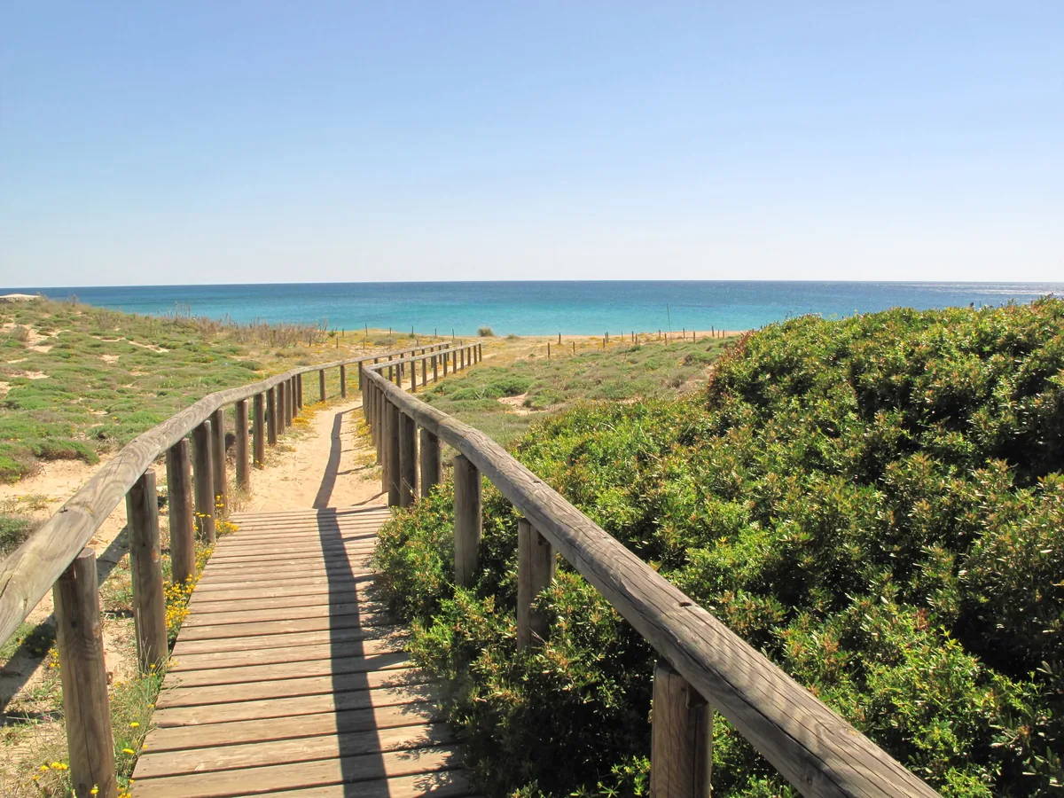
The beach at a glance
The village beach west of the small harbour: pale sand, almost all free, and shallow water, below the Torre Moline.
- Type of coast
- Sand
- Sand 1,132 m
- Length
- 1,132 m
- Seafront
- 87% free
- 985 m free147 m leased to beach clubs
- Water quality
- Excellent · classification 2024
- Off season: latest samples of the 2026 season
- ARPA bathing areas:
- CAMPOMARINO-MOLO SINISTROExcellentTue 14 Jul: within limits
- SPIAGGIA LIBERA ONDA VERDEExcellentTue 14 Jul: within limits
- Blue Flag town
- Maruggio has the Blue Flag this year
- Natura 2000 network
- ZSC Duna di Campomarino (IT9130003)
- Coastal erosion
- medium
About the beach
This is the beach of Campomarino, Maruggio's seaside village: just over a kilometre of pale sand west of the harbour pier, also called the spiaggia d'Ayala. Almost the whole beachfront is free, the water is shallow and clear and good for children; behind it a ridge of dunes remains.
The village, lived in mainly in summer, grew up in the 20th century around the Torre Moline, a coastal lookout which, with the Palazzo Seminarile, forms the historic core. The harbour, the only fishing and tourist port on the Ionian coast between Taranto and Porto Cesareo, is divided by a central pier into a basin for fishing boats and a marina. Finds from the classical, Roman and late antique periods are known in the waters off the coast.
There are car parks a few hundred metres away. The beach faces south: it is sheltered with north (tramontana), north-east (grecale) and north-west (maestrale) winds, while with south-east (scirocco), south (ostro) and south-west (libeccio) winds the sea gets rough. Maruggio is a Blue Flag municipality. It is part of the Duna di Campomarino Natura 2000 site.
On the map
Stretch of beach
Events nearby
In the coming days within 5 km.
No events within 5 km in the coming days.
Things to see nearby
Beaches nearby
- SandSpiaggia della CommendaLong sandy beach, almost all free, with dunes behind, from Campomarino towards Acquadolce, with few beach clubs.Free · 3 beach clubs Excellent water Blue Flag town Natura 2000 Maruggio · Ionian 2.1 km away
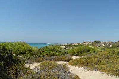 SandDune di CampomarinoLong beaches of pale sand, almost all free, below the high dunes of the Campomarino park, east of the village.Free · 1 beach club Excellent water Blue Flag town Natura 2000 Maruggio · Ionian 3.4 km away
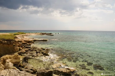 MixedTorre OvoCoast of rocks and low cliffs around the tower, with rocky coves, the remains of an ancient landing place and clear sea.Free Excellent water Natura 2000 Torricella · Ionian 4.3 km away
- SandMarina di Lizzano estLong beach of pale sand, almost all free, with dunes and scrub behind, between Marina di Lizzano and Torre Ovo.Free · beach clubs Excellent water Lizzano · Ionian 5.8 km away
Sources and licences
The data comes from public sources; before swimming check the signs and the town’s bathing ordinances.
- ARPA Puglia – Monitoraggio delle acque di balneazione (CC BY 4.0)
- Regione Puglia – Aree di balneazione e classificazione 2024 (CC BY 4.0)
- Regione Puglia – Piano Regionale delle Coste (SIT Puglia) (CC BY 4.0)
- © OpenStreetMap contributors (ODbL 1.0)
- Regione Puglia – Ricognizione dei Piani comunali delle coste (A.D. 142/2025, SIT Puglia) (CC BY 4.0)
- Regione Puglia – Perimetrazione dei siti Natura 2000 (12/2023) (CC BY 4.0)
- Wikimedia Commons (foto: autore e licenza su ogni foto) (CC0, PD, CC BY, CC BY-SA)
- salentosagreeventi.it – luoghi (foto e testi già pubblicati) (come indicato sulle foto)
- FEE Italia – Bandiera Blu 2026 (dato pubblico (elenco dei comuni premiati))
- Wind forecast: MET Norway (CC BY 4.0).
- Photos: Peppe Allegretta · Regione Puglia
- Photos: Emma Romanazzi Dazzi, CC BY-SA 4.0 · Wikimedia Commons
- Photos: Saggittarius A, CC BY-SA 4.0 · Wikimedia Commons
- Photos: Saggittarius A, CC BY-SA 4.0 · Wikimedia Commons
- Data updated: Sunday, 25 October 2026.