
The beach at a glance
Sandy beach north of Gallipoli with stretches of low rocks, largely free and with a few beach clubs.
- Type of coast
- Mixed
- Sand 1,287 m
- Rocks 856 m
- Length
- 2,143 m
- Seafront
- 65% free
- 1,160 m free616 m leased to beach clubs
- Water quality
- Excellent · classification 2024
- Off season: latest samples of the 2026 season
- Latest samples:
- Wed 15 Jul: within limits
- Wed 17 Jun: within limits
- Wed 20 May: within limits
- Wed 22 Apr: within limits
- Blue Flag town
- Gallipoli has the Blue Flag this year
- Coastal erosion
- low
About the beach
Rivabella is the beach that opens north of Gallipoli, next to Torre Sabea. Over just over two kilometres of coast it alternates about one kilometre and three hundred metres of sand with stretches of low rocks. About two thirds of the beachfront are free, mostly on the rock, while much of the sand is taken up by a few beach clubs, several of which list aids for people with disabilities. It is suitable for families; on the rocks it is best to have water shoes.
A few steps away is Torre Sabea, a small 16th-century defensive tower in the Crocefisso area, restored after a long period of neglect. Inland, on the Altolido ridge towards Lido Conchiglie, is the abbey of San Mauro, what remains of a Basilian monastery, with 13th-century frescoes.
There are plenty of car parks, the first a few steps away. Gallipoli is a Blue Flag municipality. The beach faces west: with north (tramontana), north-east (grecale), east (levante), south-east (scirocco) and south (ostro) winds it is sheltered, with south-west (libeccio), west (ponente) and north-west (maestrale) winds the sea gets rough.
On the map
Stretch of beachBeach club
Beach clubs
On this stretch of beach or less than 300 m away.
Lido Mare Azzurro
- Services for people with disabilities: passerelle
Lido La Bussola
- Services for people with disabilities: carrozzine
Lido Rivabella
Bar · Punto ristoro
- Services for people with disabilities: sedia JOB
- Pets allowed
Oasi Beach
Holiday Beach s.r.l.
Bar · Punto ristoro
- Services for people with disabilities: sedia JOB
- Parking
Lido Rosa dei Venti
- Services for people with disabilities: parcheggi riservati
- Pets allowed
- Parking
Events nearby
In the coming days within 5 km.
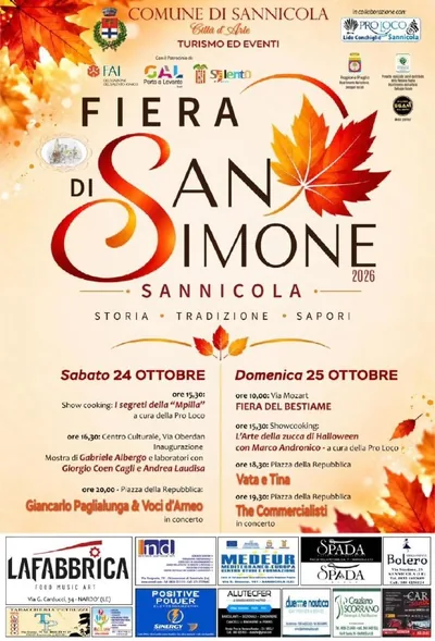
Fiera di San Simone
Autumn market in Sannicola: tradition, colors, live music and handmade products.

Halloween vs Dia de los Muertos
Night of celebration with three stages, music, and thematic scenery.

Valentina Persia - Nata con la Guêpière
Humor and personal storytelling for a theatrical evening.
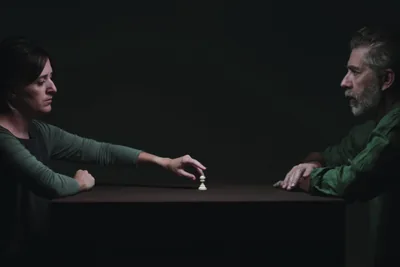
AI on Trial
Reflection and debate on artificial intelligence in Gallipoli.
Canto Libero - Tribute to the Songs of Battisti and Mogol
Things to see nearby
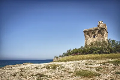 Castles, towers and palacesTorre SabeaBuilt in the 16th century, this watchtower stands on the Gallipoli coast. Gallipoli very close
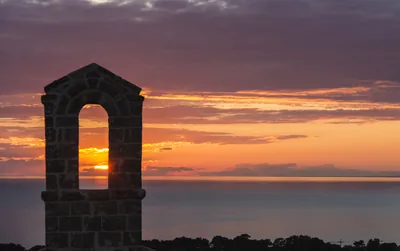 Churches and cryptsSan Mauro AbbeyThe small church of San Mauro is the precious testament of a basilian
monastery and stands on the highest point of the greenhouse of Sannicola,
overlooking the sea. Sannicola 1.6 km away
- Sea and cavesPorto Gaio di GallipoliPorto Gaio is a small private dock northeast of Gallipoli harbor, equipped for pleasure boats. Gallipoli 2.3 km away
Beaches nearby
- Rocks and cliffsTorre SabeaShort stretch of low rocks north of Gallipoli, below the small 16th-century tower in the Crocefisso area.Beach clubs Excellent water Blue Flag town Gallipoli · Ionian 1.1 km away
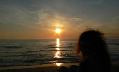 SandLido ConchiglieSandy beach almost two kilometres long below the Altolido ridge, with free stretches, a few beach clubs and stretches of high coast.Free · 4 beach clubs Excellent water Blue Flag town Natura 2000 Gallipoli · Ionian 2 km away
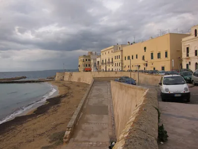 Rocks and cliffsGallipoli – FontanelleShort stretch of low rocky shore between Baia Verde and the port of Gallipoli, right by the seafront and the town.1 beach club Excellent water Blue Flag town Gallipoli · Ionian 4 km away
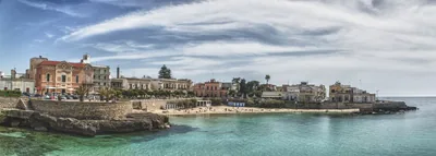 Rocks and cliffsSanta Maria al BagnoSmall sandy beach in the village, among low rocks with steps for diving, as far as the Quattro Colonne and the Reggia.1 beach club Excellent water Blue Flag town Natura 2000 Nardò, Galatone · Ionian 4.6 km away
Sources and licences
The data comes from public sources; before swimming check the signs and the town’s bathing ordinances.
- ARPA Puglia – Monitoraggio delle acque di balneazione (CC BY 4.0)
- Regione Puglia – Aree di balneazione e classificazione 2024 (CC BY 4.0)
- Regione Puglia – Piano Regionale delle Coste (SIT Puglia) (CC BY 4.0)
- © OpenStreetMap contributors (ODbL 1.0)
- Regione Puglia – Ricognizione dei Piani comunali delle coste (A.D. 142/2025, SIT Puglia) (CC BY 4.0)
- Pugliapromozione – DMS Puglia, open data (stabilimenti balneari, luoghi di interesse) (CC BY 4.0)
- FEE Italia – Bandiera Blu 2026 (dato pubblico (elenco dei comuni premiati))
- Wind forecast: MET Norway (CC BY 4.0).
- Data updated: Sunday, 25 October 2026.