
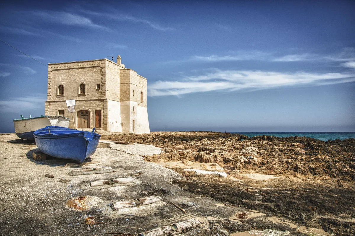
The beach at a glance
Sandy beaches and low rocks below Torre San Leonardo, in the Dune costiere park, almost all free.
- Type of coast
- Sand
- Sand 1,150 m
- Rocks 1,930 m
- Length
- 3,173 m
- Seafront
- 94% free
- 2,889 m free194 m leased to beach clubs
- Water quality
- Excellent · classification 2024
- Off season: latest samples of the 2026 season
- ARPA bathing areas:
- TORRE S LEONARDO DOPPIO CANCELLOExcellentThu 16 Jul: within limits
- PILONE LIDO CAMPING PILONEExcellentThu 16 Jul: within limits
- PILONE S LIBERA (PRIMA DEL DISTR AGIP)ExcellentThu 16 Jul: within limits
- Blue Flag town
- Ostuni has the Blue Flag this year
- Protected area
- Parco naturale regionale Dune costiere da Torre Canne a Torre S.Leonardo
- Natura 2000 network
- ZSC Litorale Brindisino (IT9140002)
- Coastal erosion
- medium
About the beach
From Torre San Leonardo to Pilone the coast alternates beaches of very fine sand, backed by dunes and Mediterranean scrub, with stretches of low rocky shore. In all there are about three kilometres, almost entirely free; there are three beach clubs and two of them offer a JOB chair so that people with reduced mobility can swim.
The 16th-century tower of San Leonardo overlooks the free beaches. The whole stretch lies within the Dune costiere da Torre Canne a Torre San Leonardo regional nature park, and the coast has been under landscape protection since 1975. It is part of the Litorale Brindisino Natura 2000 site. According to the naturalist Cosimo De Giorgi, in 1889 the Pilone area marked the northern boundary of the Salento peninsula.
The sandy seabed slopes gently and is suitable for children; on the rocks, water shoes are best. The car parks are very close. Rules protecting the dunes and vegetation apply in the park. With north (tramontana), north-east (grecale) and east (levante) winds the sea gets rough; with south-east (scirocco), south (ostro), south-west (libeccio), west (ponente) and north-west (maestrale) winds you are sheltered.
On the map
Stretch of beachBeach club
Beach clubs
On this stretch of beach or less than 300 m away.
Events nearby
In the coming days within 5 km.
No events within 5 km in the coming days.
Things to see nearby
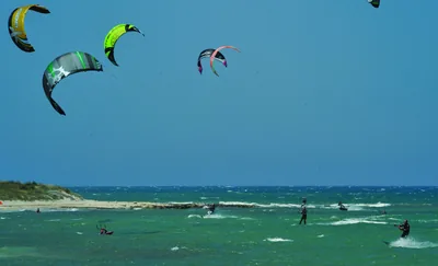 Sea and cavesRosa MarinaThe sandy beaches of Rosa Marina, surrounded by the Mediterranean scrub,
are the perfect place for those who are looking for a relaxing area, but
also for windsurf and kitesurf lovers. Ostuni very close
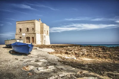 Sea and cavesPiloneBlue sea and dunes dotted with Mediterranean scrub, a few kilometres away
from Ostuni, the beaches in the locality Pilone offer amazing views. Ostuni very close
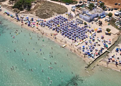 Sea and cavesMorelli BeachThe beach of Morelli river, with its pristine beaches, freshwater springs
and rare Mediterranean plants, is a peaceful place in the heart of the Dune
Costiere park. Ostuni 1.4 km away
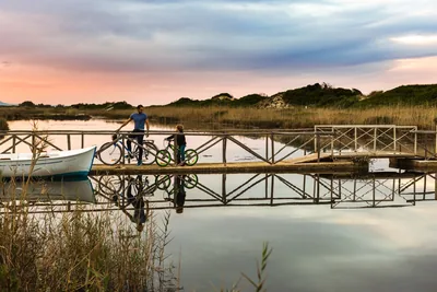 Nature and gardensRegional Nature Park Dune Costiere da Torre Canne a Torre San LeonardoIn the land of Regina tomato and Cappelli wheat, the park is a landscape to
experience, amid beaches, dolmens, lame (typical gullies in Puglia) of
karst origin and small lakes, populated by herons and little egrets. Ostuni 2.2 km away
Beaches nearby
- SandRosa MarinaFine sand among dunes and scrub in front of the Rosa Marina village, with low rocks and long free stretches.Free · beach clubs Excellent water Blue Flag town Natura 2000 Ostuni · Adriatic 1.2 km away
- SandLido MorelliWhite sandy beach at the mouth of the Fiume Morelli, among the dunes of the Dune costiere park, almost entirely free.Free · 3 beach clubs Excellent water Blue Flag town Protected area Ostuni · Adriatic 1.6 km away
- MixedMonticelliStretch of low, free rocky coast on the Ostuni seafront, with no sand and no beach clubs, for those who love the rocks.Free Excellent water Blue Flag town Ostuni · Adriatic 2.6 km away
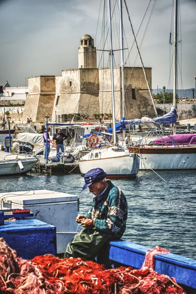 MixedDiana MarinaLow rocky shore next to the small harbour of Villanova, with a scrap of sand and free access to the sea.Free Excellent water Blue Flag town Ostuni · Adriatic 3.4 km away
Sources and licences
The data comes from public sources; before swimming check the signs and the town’s bathing ordinances.
- ARPA Puglia – Monitoraggio delle acque di balneazione (CC BY 4.0)
- Regione Puglia – Aree di balneazione e classificazione 2024 (CC BY 4.0)
- Regione Puglia – Piano Regionale delle Coste (SIT Puglia) (CC BY 4.0)
- © OpenStreetMap contributors (ODbL 1.0)
- Regione Puglia – Ricognizione dei Piani comunali delle coste (A.D. 142/2025, SIT Puglia) (CC BY 4.0)
- Regione Puglia – Parchi e riserve naturali (rev. 11/2022) (CC BY 4.0)
- Regione Puglia – Perimetrazione dei siti Natura 2000 (12/2023) (CC BY 4.0)
- Pugliapromozione – DMS Puglia, open data (stabilimenti balneari, luoghi di interesse) (CC BY 4.0)
- salentosagreeventi.it – luoghi (foto e testi già pubblicati) (come indicato sulle foto)
- FEE Italia – Bandiera Blu 2026 (dato pubblico (elenco dei comuni premiati))
- Wind forecast: MET Norway (CC BY 4.0).
- Photos: Leonardo D'Angelo · Regione Puglia
- Data updated: Sunday, 25 October 2026.