
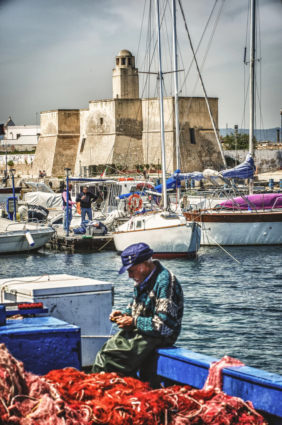
The beach at a glance
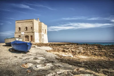
Low rocky shore next to the small harbour of Villanova, with a scrap of sand and free access to the sea.
- Type of coast
- Mixed
- Sand 70 m
- Rocks 1,982 m
- Man-made 49 m
- Length
- 2,101 m
- Seafront
- 307 m free0 m leased to beach clubs
- Water quality
- Excellent · classification 2024
- Off season: latest samples of the 2026 season
- Latest samples:
- Thu 16 Jul: within limits
- Thu 18 Jun: within limits
- Fri 22 May: within limits
- Fri 24 Apr: within limits
- Blue Flag town
- Ostuni has the Blue Flag this year
About the beach
Diana Marina is the stretch of rocky coast that runs for just over two kilometres close to the small harbour of Villanova, on the Ostuni seafront. It is almost all low rock; there is little sand, barely a few dozen metres, and there are no beach clubs: access to the sea is free.
The harbour of Villanova, a stone's throw away, is protected by two piers and overlooked by a castle of Angevin origin, with a lighthouse-shaped turret. The village stands near the route of the ancient Via Traiana, where Petrolla once stood, the settlement replaced by Villanova at the end of the 13th century. In the village you will find bars and restaurants.
To get into the water from the rocks you will need water shoes. There are several car parks a few hundred metres away. The coast faces north: with north (tramontana), north-east (grecale) and north-west (maestrale) winds the sea gets rough, with east (levante), south-east (scirocco), south (ostro), south-west (libeccio) and west (ponente) winds it stays sheltered.
On the map
Stretch of beach
Events nearby
In the coming days within 5 km.
No events within 5 km in the coming days.
Things to see nearby
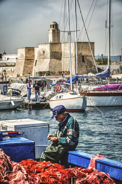 Sea and cavesPorto di Villanova di OstuniOstuni's tourist marina in Villanova is enclosed between two piers with some berths for pleasure craft. Ostuni very close
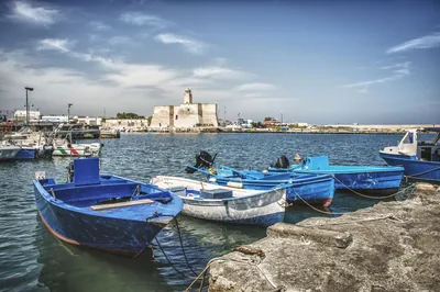 Sea and cavesVillanovaFrom the shades of the sea to the lively tourist port: the beach of
Villanova appears a few step away from the “white town”. Ostuni 2.1 km away
Beaches nearby
- MixedMonticelliStretch of low, free rocky coast on the Ostuni seafront, with no sand and no beach clubs, for those who love the rocks.Free Excellent water Blue Flag town Ostuni · Adriatic very close
- MixedVillanovaRocky coast with small coves around the small harbour of Villanova and its castle, with free stretches and beach clubs.Free · beach clubs Excellent water Blue Flag town Ostuni · Adriatic 2.1 km away
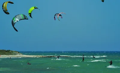 SandRosa MarinaFine sand among dunes and scrub in front of the Rosa Marina village, with low rocks and long free stretches.Free · beach clubs Excellent water Blue Flag town Natura 2000 Ostuni · Adriatic 2.2 km away
 SandPiloneSandy beaches and low rocks below Torre San Leonardo, in the Dune costiere park, almost all free.Free · 3 beach clubs Excellent water Blue Flag town Protected area Ostuni · Adriatic 3.4 km away
Sources and licences
The data comes from public sources; before swimming check the signs and the town’s bathing ordinances.
- ARPA Puglia – Monitoraggio delle acque di balneazione (CC BY 4.0)
- Regione Puglia – Aree di balneazione e classificazione 2024 (CC BY 4.0)
- Regione Puglia – Piano Regionale delle Coste (SIT Puglia) (CC BY 4.0)
- © OpenStreetMap contributors (ODbL 1.0)
- Regione Puglia – Ricognizione dei Piani comunali delle coste (A.D. 142/2025, SIT Puglia) (CC BY 4.0)
- Wikimedia Commons (foto: autore e licenza su ogni foto) (CC0, PD, CC BY, CC BY-SA)
- salentosagreeventi.it – luoghi (foto e testi già pubblicati) (come indicato sulle foto)
- FEE Italia – Bandiera Blu 2026 (dato pubblico (elenco dei comuni premiati))
- Wind forecast: MET Norway (CC BY 4.0).
- Photos: Leonardo D'Angelo · Regione Puglia
- Photos: Davide Mauro, CC BY-SA 4.0 · Wikimedia Commons
- Photos: Stefano Caldarone, CC BY-SA 4.0 · Wikimedia Commons
- Photos: Carlo Pelagalli, CC BY-SA 3.0 · Wikimedia Commons
- Photos: Stefano Caldarone, CC BY-SA 4.0 · Wikimedia Commons
- Data updated: Sunday, 25 October 2026.