
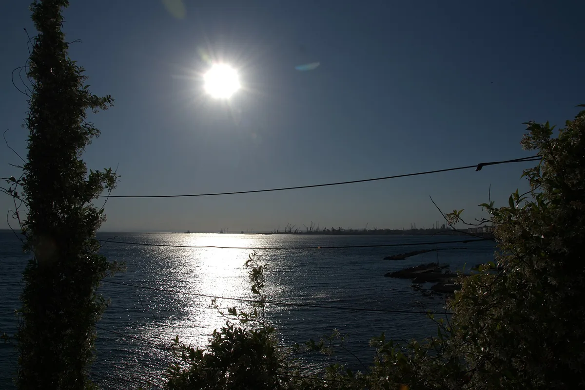
The beach at a glance
Sandy beaches in the Mar Grande north of San Vito, largely free and sheltered from southerly winds.
- Type of coast
- Sand
- Sand 1,528 m
- Man-made 396 m
- Length
- 1,925 m
- Seafront
- 75% free
- 1,445 m free480 m leased to beach clubs
- Water quality
- Excellent · classification 2024
- Off season: latest samples of the 2026 season
- ARPA bathing areas:
- VILLAGGIO MONDELLO-CRAL ARSENALEExcellentMon 13 Jul: within limits
- STABILIMENTO PRAIA A MAREExcellentMon 13 Jul: within limits
- STABILIMENTO MARE CHIAROExcellentMon 13 Jul: within limits
- Coastal erosion
- medium
About the beach
North of Capo San Vito, inside Taranto's Mar Grande, the coast changes: almost two kilometres of shoreline with about 1.5 kilometres of sandy beach, alternating with stretches of artificial coast. About three quarters of the beachfront are free; the rest is taken up by bathing establishments. The beach is suitable for families too.
The Mar Grande is the stretch of sea enclosed between Capo San Vito and capo San Nicolicchio, onto which the port looks out. Just to the south is the San Vito headland, with the lighthouse run by the Italian Navy and an early modern coastal tower.
There are many car parks, the nearest a few steps from the beach. Unlike the beaches open to the Gulf of Taranto, this one faces north: with south-east (scirocco), south (ostro) and south-west (libeccio) winds, and also with east (levante) and west (ponente) winds, the sea stays calm, while with north (tramontana), north-east (grecale) and north-west (maestrale) winds it gets rough. On days with a southerly wind it is therefore a good alternative to the beaches on the eastern coast. The beach is affected by erosion.
On the map
Stretch of beachBeach club
Beach clubs
On this stretch of beach or less than 300 m away.
L'arenile
Events nearby
In the coming days within 5 km.
No events within 5 km in the coming days.
Things to see nearby
- Sea and cavesLido BrunoLido Bruno, with its fine sand and its cliff surrounded by the crystal clear and clean water of the Ionian Sea, is located not far away from the city of Taranto. Taranto 1.7 km away
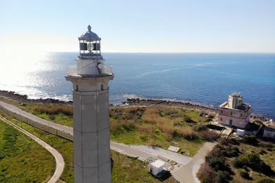 Castles, towers and palacesCapo San Vito LighthouseImposing white tower overlooking Capo San Vito in Taranto. Taranto 1.8 km away
Beaches nearby
- SandCapo San VitoRocky cape with a lighthouse south of the port of Taranto: cliffs, rocks and a few small beaches, with Italian Navy areas.1 beach club Excellent water Taranto · Ionian very close
- SandLido BrunoSmall hollows of fine sand among rocks and scrub, near Taranto, with sandy seabeds full of sea urchins and fish.1 beach club Excellent water Taranto · Ionian 1.7 km away
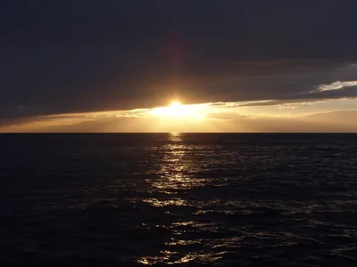 Rocks and cliffsTramontoneLong rocky shore between Porto Cupo and Lido Bruno, with short stretches of cliff and a few small sandy hollows.Free · 2 beach clubs Excellent water Natura 2000 Taranto · Ionian 4 km away
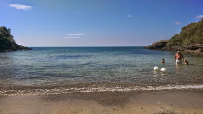 MixedBaia di Porto CupoRocky inlet in Taranto with very little sand, taken up by a bathing facility; outside it, only rocks.1 beach club Excellent water Taranto · Ionian 6.6 km away
Sources and licences
The data comes from public sources; before swimming check the signs and the town’s bathing ordinances.
- ARPA Puglia – Monitoraggio delle acque di balneazione (CC BY 4.0)
- Regione Puglia – Aree di balneazione e classificazione 2024 (CC BY 4.0)
- Regione Puglia – Piano Regionale delle Coste (SIT Puglia) (CC BY 4.0)
- © OpenStreetMap contributors (ODbL 1.0)
- Regione Puglia – Ricognizione dei Piani comunali delle coste (A.D. 142/2025, SIT Puglia) (CC BY 4.0)
- Wikimedia Commons (foto: autore e licenza su ogni foto) (CC0, PD, CC BY, CC BY-SA)
- Wind forecast: MET Norway (CC BY 4.0).
- Photos: Manuela Balestra, CC BY 4.0 · Wikimedia Commons
- Photos: Manuela Balestra, CC BY 4.0 · Wikimedia Commons
- Data updated: Sunday, 25 October 2026.