
The beach at a glance
Coast of low cliffs and pebbles south of the port of Brindisi, in the Salina di Punta della Contessa park.
- Type of coast
- Mixed
- Sand 179 m
- Pebbles 960 m
- Rocks 179 m
- Cliff 1,629 m
- Length
- 2,947 m
- Water quality
- Excellent · classification 2024
- Off season: latest samples of the 2026 season
- Latest samples:
- Tue 14 Jul: within limits
- Tue 16 Jun: within limits
- Tue 19 May: within limits
- Tue 21 Apr: within limits
- Protected area
- Parco naturale regionale Salina di Punta della Contessa
- Natura 2000 network
- ZSC/ZPS Stagni e Saline di Punta della Contessa (IT9140003)
- Coastal erosion
- medium
About the beach
Le Salinelle is a stretch of coast south of the port of Brindisi, about three kilometres long, that lies within the Salina di Punta della Contessa regional nature park. Here the shore is made up mostly of low cliffs and pebble beaches, with little sand and a few rocks. There are no beach clubs or services.
It is a wild stretch, inside a park named after the salt pan of Punta della Contessa. The coast is subject to erosion and the cliffs should be treated with respect: best not to linger beneath them. Rules protecting nature apply in the park. It is part of the Stagni e Saline di Punta della Contessa Natura 2000 site.
The data show no listed car parks near the sea, so it is worth checking beforehand and allowing for a walk; bring water shoes, water and shade. Unlike the beaches north of Brindisi, this one faces east: with north-east (grecale), east (levante) and south-east (scirocco) winds the sea gets rough, while with north (tramontana), south (ostro), south-west (libeccio), west (ponente) and north-west (maestrale) winds it is sheltered.
On the map
Stretch of beach
Events nearby
In the coming days within 5 km.
No events within 5 km in the coming days.
Things to see nearby
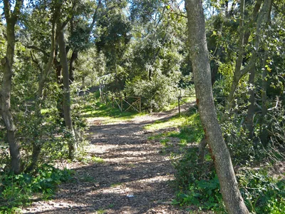
Beaches nearby
- SandCeranoSandy beach below the cliffs, at the foot of the Bosco di Cerano reserve, south of Brindisi.Free · 1 beach club Excellent water Protected area Brindisi · Adriatic 2.9 km away
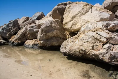 SandCampo di MareThe seaside district of San Pietro Vernotico: a largely free sandy beach, with stretches of high coast and a few beach clubs.Free · 3 beach clubs Excellent water San Pietro Vernotico · Adriatic 5 km away
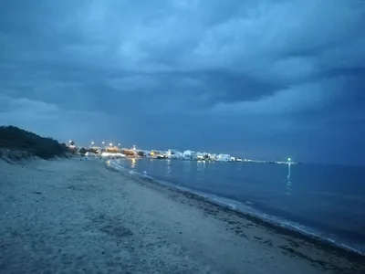 SandTorre San GennaroLong sandy beaches with dunes and a few rocks in the seaside district of Torchiarolo, almost all free.Free · beach clubs Excellent water Torchiarolo · Adriatic 6.2 km away
- SandLendinusoContinuous sandy beach backed by dunes, from Lendinuso to the Canuta area, almost all free.Free · beach clubs Excellent water Torchiarolo · Adriatic 8.5 km away
Sources and licences
The data comes from public sources; before swimming check the signs and the town’s bathing ordinances.
- ARPA Puglia – Monitoraggio delle acque di balneazione (CC BY 4.0)
- Regione Puglia – Aree di balneazione e classificazione 2024 (CC BY 4.0)
- Regione Puglia – Piano Regionale delle Coste (SIT Puglia) (CC BY 4.0)
- © OpenStreetMap contributors (ODbL 1.0)
- Regione Puglia – Parchi e riserve naturali (rev. 11/2022) (CC BY 4.0)
- Regione Puglia – Perimetrazione dei siti Natura 2000 (12/2023) (CC BY 4.0)
- Wind forecast: MET Norway (CC BY 4.0).
- Data updated: Sunday, 25 October 2026.