
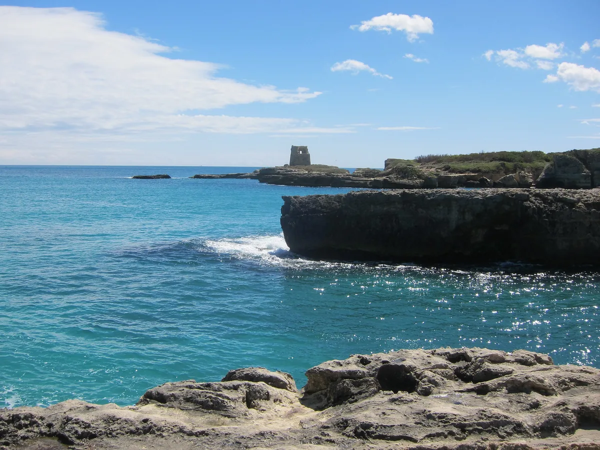
The beach at a glance
Seven kilometres of sand and dunes, almost all free, in front of the Le Cesine oasis, with Le Ficherelle and Al Ponticello.
- Type of coast
- Sand
- Sand 6,682 m
- Cliff 186 m
- Length
- 6,979 m
- Seafront
- 91% free
- 6,370 m free599 m leased to beach clubs
- Water quality
- Excellent · classification 2024
- Off season: latest samples of the 2026 season
- ARPA bathing areas:
- LE CESINEExcellentMon 6 Jul: within limits
- LE FICHERELLEExcellentMon 6 Jul: within limits
- AL PONTICELLOExcellentMon 6 Jul: within limits
- Protected area
- Riserva naturale statale Le Cesine
- Coastal erosion
- high
About the beach
The Le Cesine coastline is a long sandy beach, almost seven kilometres, with a ridge of dunes and the stretches of Le Ficherelle and Al Ponticello. It is almost all free: three beach clubs in all and over 90% of the seafront without concessions. The sand and the space make it suitable for families too.
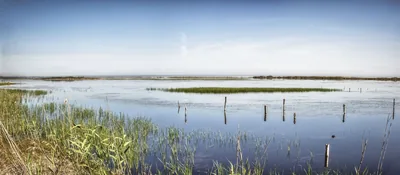
Behind it stretches the Le Cesine reserve, about 348 hectares with the oasis run by WWF: the last stretch of the marshes that once covered this coast, with two ponds separated from the sea by the dunes, herons, mallards, junipers and wild orchids. The reference point for visits is the Masseria Le Cesine, with its watchtower from the late 15th or early 16th century. Here the coast is subject to severe erosion: respect the dunes. It is part of the Le Cesine Natura 2000 site.
There are few car parks near the coast, but they are a short distance from the sand. The beach faces north-east: with south-east (scirocco), south (ostro), south-west (libeccio), west (ponente) and north-west (maestrale) winds it is sheltered, with north (tramontana), north-east (grecale) and east (levante) winds the sea gets rough.
On the map
Stretch of beachBeach club
Beach clubs
On this stretch of beach or less than 300 m away.
Events nearby
In the coming days within 5 km.
No events within 5 km in the coming days.
Things to see nearby
Beaches nearby
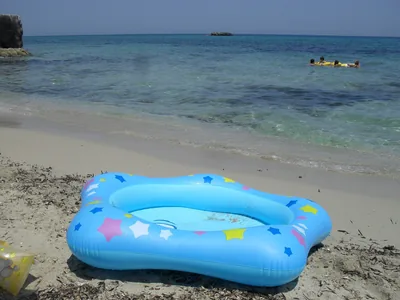 SandTorre Specchia RuggeriCliff coast with sandy coves, open to the winds and popular with surfers and kiters, north of San Foca.Free · 2 beach clubs Excellent water Blue Flag town Melendugno · Adriatic 4.5 km away
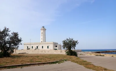 SandSan CataldoThe sandy beach of the people of Lecce: kilometres of beach clubs and free stretches between the groynes, from the dock to the Rotonda.Free · 5 beach clubs Excellent water Blue Flag town Natura 2000 Lecce, Vernole · Adriatic 6.5 km away
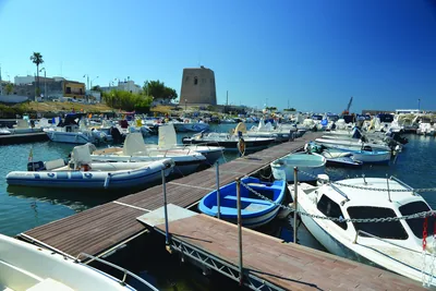 SandSan FocaTwo sandy inlets either side of the harbour, between low rocks and sea stacks, in the fishing village of San Foca.Free · 10 beach clubs Excellent water Blue Flag town Melendugno · Adriatic 7.5 km away
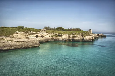 Rocks and cliffsRocaCliffs and rocks with no beach between Roca Li Posti and Roca Vecchia, with the archaeological area and the Grotta della Poesia.3 beach clubs Excellent water Blue Flag town Melendugno · Adriatic 8.7 km away
Sources and licences
The data comes from public sources; before swimming check the signs and the town’s bathing ordinances.
- ARPA Puglia – Monitoraggio delle acque di balneazione (CC BY 4.0)
- Regione Puglia – Aree di balneazione e classificazione 2024 (CC BY 4.0)
- Regione Puglia – Piano Regionale delle Coste (SIT Puglia) (CC BY 4.0)
- © OpenStreetMap contributors (ODbL 1.0)
- Regione Puglia – Ricognizione dei Piani comunali delle coste (A.D. 142/2025, SIT Puglia) (CC BY 4.0)
- Regione Puglia – Parchi e riserve naturali (rev. 11/2022) (CC BY 4.0)
- Regione Puglia – Perimetrazione dei siti Natura 2000 (12/2023) (CC BY 4.0)
- Pugliapromozione – DMS Puglia, open data (stabilimenti balneari, luoghi di interesse) (CC BY 4.0)
- Wikimedia Commons (foto: autore e licenza su ogni foto) (CC0, PD, CC BY, CC BY-SA)
- Wind forecast: MET Norway (CC BY 4.0).
- Photos: Art Anderson, CC BY-SA 3.0 · Wikimedia Commons
- Photos: Art Anderson, CC BY-SA 3.0 · Wikimedia Commons
- Photos: barbanto, CC BY-SA 3.0 · Wikimedia Commons
- Data updated: Sunday, 25 October 2026.