
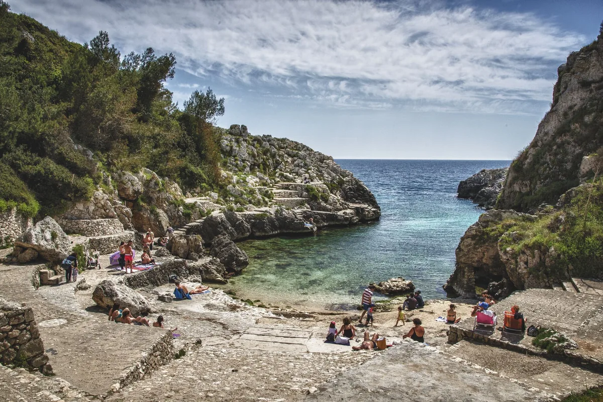
The beach at a glance
Narrow fjord between the rocks ending in a small free bay, with ice-cold freshwater springs, at Marina di Marittima.
- Type of coast
- Rocks and cliffs
- Rocks 1,797 m
- Length
- 1,797 m
- Seafront
- 287 m free0 m leased to beach clubs
- Water quality
- Excellent · classification 2024
- Off season: latest samples of the 2026 season
- Latest samples:
- Thu 9 Jul: within limits
- Thu 11 Jun: within limits
- Thu 14 May: within limits
- Sun 19 Apr: within limits
- Protected area
- Parco naturale regionale Costa Otranto-S.Maria di Leuca e Bosco di Tricase
- Natura 2000 network
- ZSC Costa Otranto - Santa Maria di Leuca (IT9150002)
About the beach
The Cala dell'Acquaviva is a small inlet at the foot of the ridge of Marittima, in the municipality of Diso. The fjord runs for a few dozen metres between rocks and vegetation and ends in a small free pebble bay. It takes its name from the freshwater springs: the ice-cold springs make the water cold and very clear, while the seabed slopes gently.
Along the edges of the gully stretches the rocky shore, where you can sunbathe or dive; you will need water shoes. All around is the coast of Marina di Marittima, almost two kilometres of points, caves and coves, with the Chianca Liscia anchorage and its smooth rocks and, to the north, the rocky shore of Pizzo Galera. The coast is dominated by Torre Lupo, one of the 16th-century towers of Marittima. It is part of the Costa Otranto - Santa Maria di Leuca Natura 2000 site.
It is easy to get there by car: there are car parks nearby. The coast faces east: inside the gully the sea is often calm, but with north-east (grecale), east (levante) and south-east (scirocco) winds it gets rough; with north (tramontana), south (ostro), south-west (libeccio), west (ponente) and north-west (maestrale) winds it is sheltered.
On the map
Stretch of beach
Events nearby
In the coming days within 5 km.
No events within 5 km in the coming days.
Things to see nearby
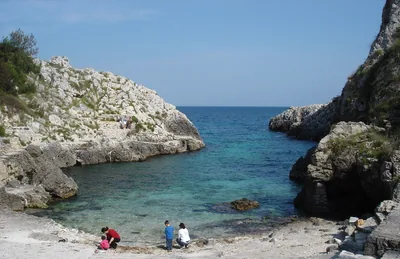 Sea and cavesMarina di MarittimaAmid picturesque coves and smoothed cliffs, Marina di Marittima is lapped
by the blue and clear sea. Diso very close
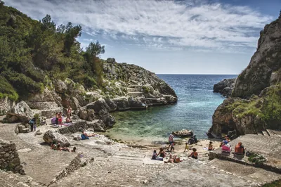 Sea and cavesCala dell'AcquavivaThe Acquaviva channel, with its cold water springs and small bays with
pebbles, flows amid the rocks and the lush vegetation. Diso very close
- Castles, towers and palacesBaldassarra Tower, Alfonso Tower, Colombaia Tower and Lupo TowerDating back to the 16th century, the four towers are a landmark in the history of Marittima. Diso 1.5 km away
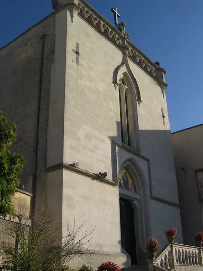 Churches and cryptsSantuario Madonna del Rosario di PompeiSanctuary of the nineteenth century also known as Beata Vergine del
Rosario, located in the heart of Castro Marina. Castro 1.8 km away
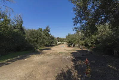 Nature and gardensParco delle Querce (Oak Tree Park)Near the residential centre of Castro Marina, is this wooded area enclosed
with stone drywall. Castro 2 km away
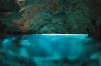 Sea and cavesMarina di AndranoAlong the Agavi promenade, in Marina di Andrano, appears the green emerald
Grotta Verde and the cliffs in the localities Fiume and La Botte. Andrano 2.2 km away
Beaches nearby
- Rocks and cliffsMarina di AndranoRocky shores and small ways into the sea along the lungomare delle Agavi, from the small harbour to the Botte, with the Grotta Verde.Free · 2 beach clubs Excellent water Protected area Andrano · Adriatic 2.1 km away
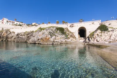 Rocks and cliffsCastro MarinaRocky shores to dive from into a sea ranging from green to blue, between the harbour, the Grotta Zinzulusa and the Sorgente.1 beach club Excellent water Blue Flag town Protected area Castro · Adriatic 2.4 km away
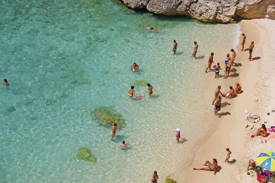 Rocks and cliffsPorto MiggianoSmall cove between twenty-metre cliffs, reached by about a hundred steps, below the 16th-century tower.Free Excellent water Protected area Santa Cesarea Terme · Adriatic 5.3 km away
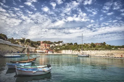 Rocks and cliffsTricase PortoLow rocky coast with caves and coves, two small harbours and an islet a few strokes away, from the Serra del Mito to San Nicola.Free Excellent water Blue Flag town Protected area Tricase · Adriatic 5.7 km away
Sources and licences
The data comes from public sources; before swimming check the signs and the town’s bathing ordinances.
- ARPA Puglia – Monitoraggio delle acque di balneazione (CC BY 4.0)
- Regione Puglia – Aree di balneazione e classificazione 2024 (CC BY 4.0)
- Regione Puglia – Piano Regionale delle Coste (SIT Puglia) (CC BY 4.0)
- © OpenStreetMap contributors (ODbL 1.0)
- Regione Puglia – Ricognizione dei Piani comunali delle coste (A.D. 142/2025, SIT Puglia) (CC BY 4.0)
- Regione Puglia – Parchi e riserve naturali (rev. 11/2022) (CC BY 4.0)
- Regione Puglia – Perimetrazione dei siti Natura 2000 (12/2023) (CC BY 4.0)
- Wikimedia Commons (foto: autore e licenza su ogni foto) (CC0, PD, CC BY, CC BY-SA)
- salentosagreeventi.it – luoghi (foto e testi già pubblicati) (come indicato sulle foto)
- Wind forecast: MET Norway (CC BY 4.0).
- Photos: Leonardo D'Angelo · Regione Puglia
- Photos: Falk2, CC BY-SA 4.0 · Wikimedia Commons
- Photos: Falk2, CC BY-SA 4.0 · Wikimedia Commons
- Photos: Luca Margheriti, CC BY-SA 3.0 · Wikimedia Commons
- Data updated: Sunday, 25 October 2026.