
Sand Blue Flag town Excellent water Protected areaFor families
Castellaneta Marina
Castellaneta (TA)· Sea: Ionian
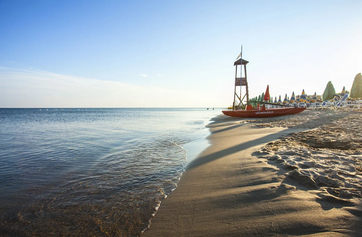
The beach at a glance
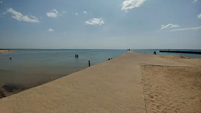
The beach in the centre of Castellaneta Marina: pale, fine sand, many beach clubs, free stretches and pine wood behind.
- Type of coast
- Sand
- Sand 2,307 m
- Length
- 2,307 m
- Seafront
- 33% free
- 755 m free1,552 m leased to beach clubs
- Water quality
- Excellent · classification 2024
- Off season: latest samples of the 2026 season
- ARPA bathing areas:
- STABILIMENTO CLUB ALBATROSExcellentMon 20 Jul: within limits
- STABILIMENTO LAMEDUSA-LA CAPANNINA-LISEAExcellentMon 20 Jul: within limits
- STABIL.LA BARCHETTA CLUB SPORTINGExcellentMon 20 Jul: within limits
- SPIAGGIA LIBERA PINETA GIOVINAZZOExcellentMon 20 Jul: within limits
- Blue Flag town
- Castellaneta has the Blue Flag this year
- Protected area
- Riserva naturale statale Stornara
- Natura 2000 network
- ZSC Pinete dell'Arco Ionico (IT9130006)
- Coastal erosion
- medium
About the beach
This is the beach in the centre of Castellaneta Marina, just over two kilometres of very fine, pale sand fringed by Mediterranean scrub and Aleppo pines. This is where the beach clubs are concentrated, taking up almost two thirds of the beachfront; the rest is free beach, such as the stretch in front of the Giovinazzo pine wood. The sandy seabed slopes slowly and is suitable for the whole family.
Several beach clubs list accessibility services, such as boardwalks, a JOB chair for swimming and reserved parking. Nearby there are hotels, restaurants and places to go in the evening. Inland, Castellaneta overlooks a ravine and preserves the birthplace of Rudolph Valentino.
The car parks are a short distance away, and there are several in the area. The coast faces south-east: with north (tramontana), north-east (grecale), north-west (maestrale), south-west (libeccio) and west (ponente) winds the sea is calm, with east (levante), south-east (scirocco) and south (ostro) winds it gets rough. The coastline is affected by erosion: respect the dunes. Castellaneta is a Blue Flag municipality. It lies within the Stornara state nature reserve. It is part of the Pinete dell'Arco Ionico Natura 2000 site.
On the map
Stretch of beachBeach club
Beach clubs
On this stretch of beach or less than 300 m away.
Lido Trocadero
- Services for people with disabilities: parcheggi riservati
- Parking
Lido La Conchiglia
- Services for people with disabilities: passerelle
Lido l'Ancora
- Services for people with disabilities: sedia JOB
Lido La Barchetta
- Services for people with disabilities: parcheggi riservati
Sporting Club
Ristorante · Bar
- Services for people with disabilities: parcheggi riservati
- Parking
Ticho'S Lido
- Services for people with disabilities: parcheggi riservati
- Parking
1 more beach club
El Patio
Bar
- Services for people with disabilities: parcheggi riservati
- Parking
Events nearby
In the coming days within 5 km.
No events within 5 km in the coming days.
Things to see nearby
Beaches nearby
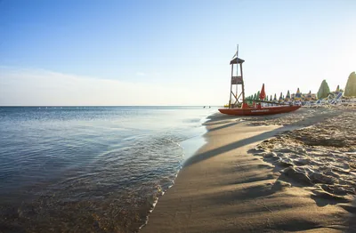
- SandRiva dei TessaliBeach of pale, fine sand backed by dunes, with free stretches and concession areas, between Riva dei Tessali and Borgo Pineto.Free · beach clubs Excellent water Blue Flag town Protected area Castellaneta · Ionian 2.2 km away
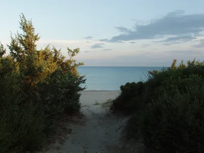 SandCastellaneta Marina – spiaggia estBeach of pale, fine sand, almost all free, among dunes, scrub and Aleppo pines, as far as the Torre della Marina.Free · 1 beach club Excellent water Blue Flag town Protected area Castellaneta · Ionian 3 km away
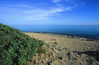 SandMarina di GinosaWide beach of golden sand from the Pineta Regina to the mouth of the Bradano, with many beach clubs, long free stretches and pine woods.Free · 18 beach clubs Blue Flag town Natura 2000 Ginosa · Ionian 5.2 km away
 SandLitorale di PalagianoUniform sandy coastline, almost all free, with dunes and pine wood behind, between the mouths of the Lenne and the Lato.Free · beach clubs Excellent water Protected area Palagiano · Ionian 7.5 km away
Sources and licences
The data comes from public sources; before swimming check the signs and the town’s bathing ordinances.
- ARPA Puglia – Monitoraggio delle acque di balneazione (CC BY 4.0)
- Regione Puglia – Aree di balneazione e classificazione 2024 (CC BY 4.0)
- Regione Puglia – Piano Regionale delle Coste (SIT Puglia) (CC BY 4.0)
- © OpenStreetMap contributors (ODbL 1.0)
- Regione Puglia – Ricognizione dei Piani comunali delle coste (A.D. 142/2025, SIT Puglia) (CC BY 4.0)
- Regione Puglia – Parchi e riserve naturali (rev. 11/2022) (CC BY 4.0)
- Regione Puglia – Perimetrazione dei siti Natura 2000 (12/2023) (CC BY 4.0)
- Pugliapromozione – DMS Puglia, open data (stabilimenti balneari, luoghi di interesse) (CC BY 4.0)
- Wikimedia Commons (foto: autore e licenza su ogni foto) (CC0, PD, CC BY, CC BY-SA)
- salentosagreeventi.it – luoghi (foto e testi già pubblicati) (come indicato sulle foto)
- FEE Italia – Bandiera Blu 2026 (dato pubblico (elenco dei comuni premiati))
- Wind forecast: MET Norway (CC BY 4.0).
- Photos: Carlos Solito · Regione Puglia
- Photos: Sunrise Sylvan, CC0 · Wikimedia Commons
- Photos: Sunrise Sylvan, CC0 · Wikimedia Commons
- Photos: Sunrise Sylvan, CC0 · Wikimedia Commons
- Photos: Sunrise Sylvan, CC0 · Wikimedia Commons
- Photos: Sunrise Sylvan, CC0 · Wikimedia Commons
- Photos: Photo2023, CC0 · Wikimedia Commons
- Photos: Sunrise Sylvan, CC0 · Wikimedia Commons
- Data updated: Sunday, 25 October 2026.