
The beach at a glance
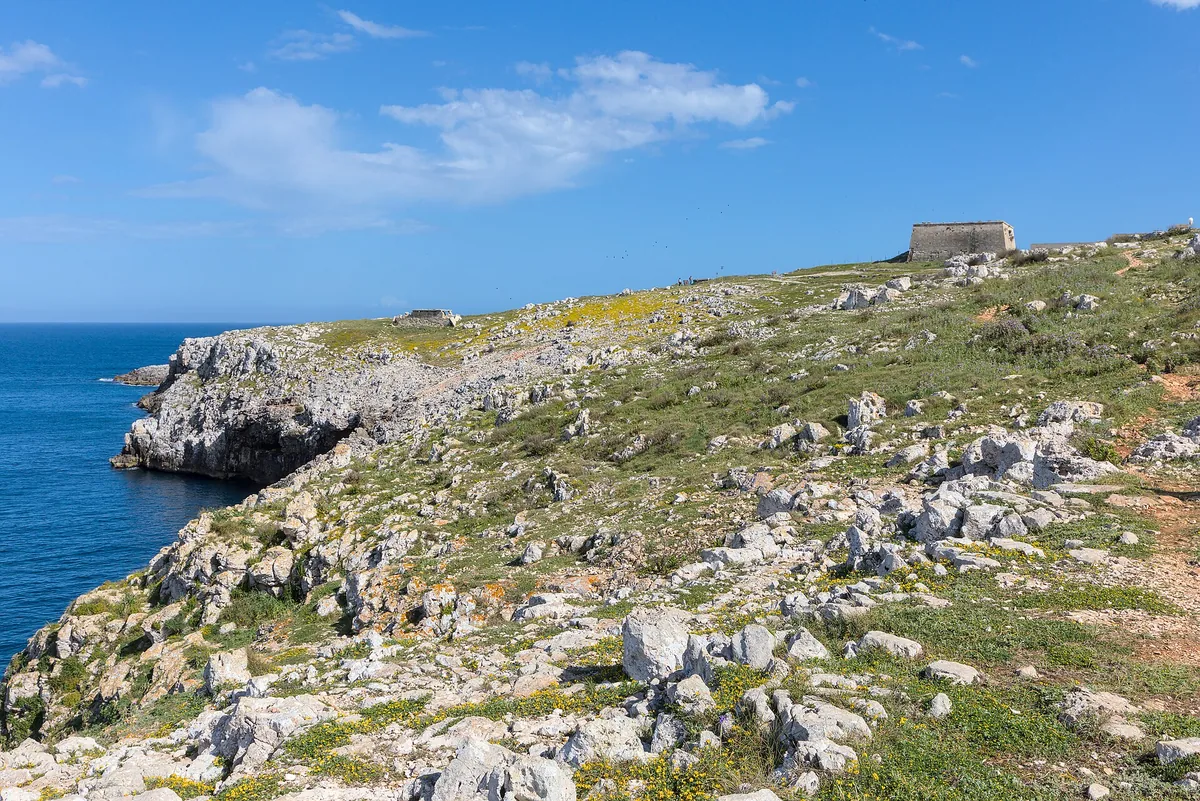
Wild coast of low rocks south of Otranto, with pine wood, freshwater springs and the bauxite quarry, in the coastal park.
- Type of coast
- Rocks and cliffs
- Rocks 6,024 m
- Cliff 1,087 m
- Length
- 7,111 m
- Water quality
- Excellent · classification 2024
- Off season: latest samples of the 2026 season
- ARPA bathing areas:
- PUNTA S.NICOLA-SUD EX SCAR. G.R.A.M.ExcellentWed 8 Jul: within limits
- PUNTA FACIExcellentWed 8 Jul: within limits
- I CAMERONIExcellentWed 8 Jul: within limits
- Protected area
- Parco naturale regionale Costa Otranto-S.Maria di Leuca e Bosco di Tricase
- Natura 2000 network
- ZSC Costa Otranto - Santa Maria di Leuca (IT9150002)
- ZSC Alimini (IT9150011)
About the beach
South of Otranto, past the Torre del Serpe, the coast turns wild: over seven kilometres of low rocks and a few stretches of cliff, from Punta San Nicola to Punta Facì and the Cameroni. There are no beach clubs or sandy beaches: you arrive on foot along the paths through the pine wood and the scrub, then have to find yourself a comfortable spot among the rocks. Water shoes are essential.
The sea ranges from cobalt blue where the water is deep to turquoise over the sand near the shore, and a few metres from the water's edge two freshwater springs well up, the 'Fiume d'oro' and the 'Fontana'. A few hundred metres from the sea stand out the red hillocks of the bauxite quarry, around a small green lake. The area is in the Costa Otranto-Santa Maria di Leuca e Bosco di Tricase regional nature park, where protection rules apply. It is part of the Costa Otranto - Santa Maria di Leuca and Alimini Natura 2000 sites.
The coast faces east and is sheltered from northerly winds: with north (tramontana), south (ostro), south-west (libeccio), west (ponente) and north-west (maestrale) winds you can swim in peace, while north-east (grecale), east (levante) and south-east (scirocco) winds make the sea rough. There are car parks a few hundred metres away.
On the map
Stretch of beach
Events nearby
In the coming days within 5 km.
Tamburellisti Di Otranto in Concert
The Tamburellisti di Otranto perform traditional Salentine pizzica.
Things to see nearby
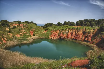 Sea and cavesOrte - Bauxite LakeBaia delle Orte, a wild and unspoiled bay, is embellished by the shades of
the sea, while not far away from the beach, stands out the red colour of
the bauxite cave. Otranto very close
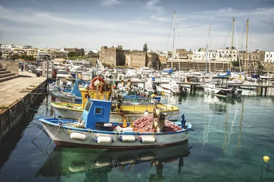 Sea and cavesPorto di OtrantoThe Otranto harbor is enclosed in a wide bay protected by the three-armed San Nicola pier. Otranto 2.1 km away
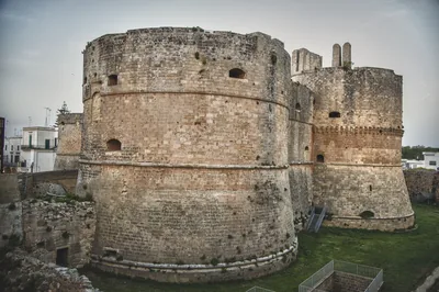 Castles, towers and palacesAragonese Castle of OtrantoKeeping vigil over Italy's most easterly town, The Castle of Otranto is a
fascinating fortress that looks eastwards in memory of past Saracen
attacks. Otranto 2.2 km away
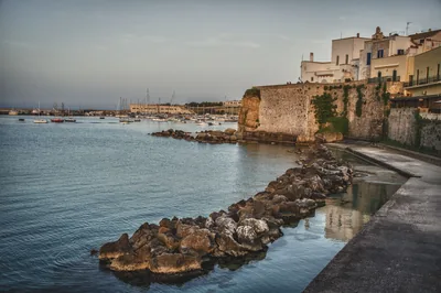 Castles, towers and palacesTown wallProtected by a town wall in the heart of Otranto. Otranto 2.2 km away
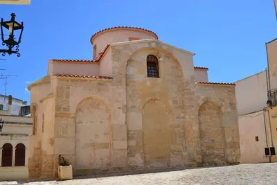 Churches and cryptsBasilica of San PietroA jewel of Byzantine art, the Church of San Pietro is one of the most
important medieval buildings in southern Italy. Otranto 2.3 km away
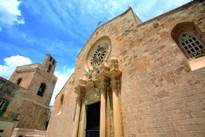 Churches and cryptsCathedral of Maria Santissima AnnunziataThe extraordinary mosaic of the Tree of Life makes a visit to the Otranto
Cathedral unique, where the memory of the bloody Turkish siege lives on in
the ossuary of the Chapel of the Holy Martyrs. Otranto 2.4 km away
Beaches nearby
- SandOtrantoTown coast of rocks and small sandy beaches, from the Castellana to the Gradoni beach, near the Idro channel.Free · 5 beach clubs Excellent water Natura 2000 Otranto · Adriatic 2.9 km away
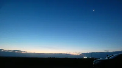 Rocks and cliffsPunta PalascìaRugged rocky coast below the lighthouse of Punta Palascìa, the easternmost point of Italy, as far as Torre Sant'Emiliano.Free Excellent water Protected area Otranto · Adriatic 3.6 km away
- Rocks and cliffsTorre Santo StefanoCliffs and rocks with small coves between the Baia dei Turchi and Otranto, from Vigna Vecchia to Mulino d'Acqua, with no sand.1 beach club Excellent water Natura 2000 Otranto · Adriatic 5 km away
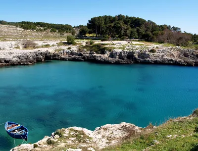 Rocks and cliffsPorto BadiscoDeep inlet between rocks and broom with a small beach in the middle, where legend has it that Aeneas landed.Beach clubs Excellent water Protected area Otranto · Adriatic 6.2 km away
Sources and licences
The data comes from public sources; before swimming check the signs and the town’s bathing ordinances.
- ARPA Puglia – Monitoraggio delle acque di balneazione (CC BY 4.0)
- Regione Puglia – Aree di balneazione e classificazione 2024 (CC BY 4.0)
- Regione Puglia – Piano Regionale delle Coste (SIT Puglia) (CC BY 4.0)
- © OpenStreetMap contributors (ODbL 1.0)
- Regione Puglia – Parchi e riserve naturali (rev. 11/2022) (CC BY 4.0)
- Regione Puglia – Perimetrazione dei siti Natura 2000 (12/2023) (CC BY 4.0)
- Wikimedia Commons (foto: autore e licenza su ogni foto) (CC0, PD, CC BY, CC BY-SA)
- Wind forecast: MET Norway (CC BY 4.0).
- Photos: Benjamin Smith, CC BY-SA 4.0 · Wikimedia Commons
- Photos: Benjamin Smith, CC BY-SA 4.0 · Wikimedia Commons
- Photos: Bultro, CC BY-SA 4.0 · Wikimedia Commons
- Photos: Bultro, CC BY-SA 4.0 · Wikimedia Commons
- Photos: Benjamin Smith, CC BY-SA 4.0 · Wikimedia Commons
- Photos: Benjamin Smith, CC BY-SA 4.0 · Wikimedia Commons
- Photos: Benjamin Smith, CC BY-SA 4.0 · Wikimedia Commons
- Photos: Benjamin Smith, CC BY-SA 4.0 · Wikimedia Commons
- Photos: Lamberto Zannotti, CC BY-SA 3.0 · Wikimedia Commons
- Data updated: Sunday, 25 October 2026.