
The beach at a glance
Rocky coast with a small harbour for boats, in Leporano: no sand, you get into the water from the rocks.
- Type of coast
- Rocks and cliffs
- Rocks 2,305 m
- Length
- 2,305 m
- Seafront
- 11 m free0 m leased to beach clubs
- Water quality
- Excellent · classification 2024
- Off season: latest samples of the 2026 season
- Latest samples:
- Mon 13 Jul: within limits
- Mon 15 Jun: within limits
- Mon 18 May: within limits
- Mon 20 Apr: within limits
- Blue Flag town
- Leporano has the Blue Flag this year
- Natura 2000 network
- ZSC Posidonieto Isola di San Pietro - Torre Canneto (IT9130008)
About the beach
Baia d'Argento, with nearby Porto Saguerra, is a stretch of Marina di Leporano just over two kilometres long, all rocky shore: there are no sandy stretches and you get into the water from the rock. You will need water shoes, and for small children the nearby sandy bays, such as Saturo and Gandoli, are easier.
Set into the rocky shore is a small harbour for small boats, with a fixed jetty and a slipway quay with a crane: boats must enter and leave at minimum speed because there are always swimmers about, and swimmers would do well to keep away from the entrance. Baia d'Argento and Saguerra are listed among the seaside spots of Leporano.
The nearest car park is a short distance away. Facing south, it is sheltered with north (tramontana), north-east (grecale) and north-west (maestrale) winds; with south-east (scirocco), south (ostro) and south-west (libeccio) winds the sea gets rough and it is better not to get into the water from the rocks. Leporano is a Blue Flag municipality. It is part of the Posidonieto Isola di San Pietro - Torre Canneto Natura 2000 site.
On the map
Stretch of beach
Events nearby
In the coming days within 5 km.
No events within 5 km in the coming days.
Things to see nearby
- Sea and cavesBaia d'Argento - Porto SaguerraPorto Saguerra, in Marina di Leporano, is an equipped dock for small boats, managed by Service Boat Baia d'Argento. Leporano very close
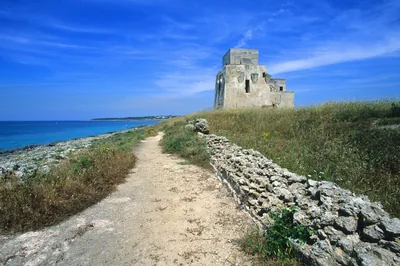 ArchaeologySaturo Archeological ParkRemains of a Roman villa and a Roman spa on a picturesque promontory of the
Ionian riviera Leporano 2.3 km away
Beaches nearby
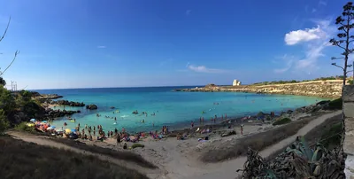 MixedPorto PirroneRocky coast with two small sandy inlets among the rocks, below a campsite, next to the Saturo archaeological park.Free Excellent water Blue Flag town Natura 2000 Leporano · Ionian 1.6 km away
- SandLe CanneSmall sandy coves among the low rocks of Marina di Pulsano, towards Leporano, with free stretches and one beach club.1 beach club Excellent water Blue Flag town Pulsano · Ionian 2.1 km away
- SandSaturoSmall bay of very pale sand among the rocks, below the headland of the Saturo archaeological park, with shallow water.Free · 1 beach club Excellent water Blue Flag town Leporano · Ionian 2.4 km away
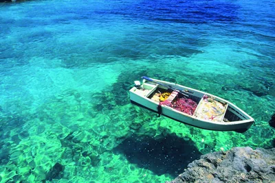 MixedMontedarenaCoast of low rocks with small sandy coves in Marina di Pulsano, with hardly any beach clubs.Free · beach clubs Excellent water Blue Flag town Pulsano · Ionian 3.3 km away
Sources and licences
The data comes from public sources; before swimming check the signs and the town’s bathing ordinances.
- ARPA Puglia – Monitoraggio delle acque di balneazione (CC BY 4.0)
- Regione Puglia – Aree di balneazione e classificazione 2024 (CC BY 4.0)
- Regione Puglia – Piano Regionale delle Coste (SIT Puglia) (CC BY 4.0)
- © OpenStreetMap contributors (ODbL 1.0)
- Regione Puglia – Ricognizione dei Piani comunali delle coste (A.D. 142/2025, SIT Puglia) (CC BY 4.0)
- Regione Puglia – Perimetrazione dei siti Natura 2000 (12/2023) (CC BY 4.0)
- FEE Italia – Bandiera Blu 2026 (dato pubblico (elenco dei comuni premiati))
- Wind forecast: MET Norway (CC BY 4.0).
- Data updated: Sunday, 25 October 2026.